Map of Vancouver
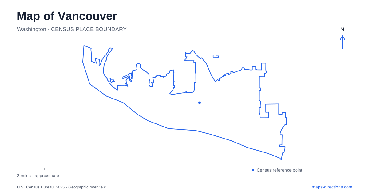
Street tiles load from OpenStreetMap when opened. The blue line shows the 2025 Census boundary.
- State
- Washington
- Population · July 2025
- 199,698
- Land area
- 48.8 sq mi
- Water area
- 3.7 sq mi
A map of Vancouver, Washington, brings several different riverfront landscapes into view: a former paper mill reborn as a public promenade, an archaeological trading-fort site, an airfield and a wooded hatchery fed by hillside springs. The Columbia River provides their shared geographic reference. This is the Washington city, so include the state when searching; results for the larger Canadian city describe an entirely different waterfront. Within the local map, the contrast between downtown's compact blocks and the longer eastern river corridor is particularly useful for arranging a visit.
A downtown square with a working clock tower
Esther Short Park occupies five acres at 605 Esther Street. Established in 1853, the square offers a historic counterpoint to the newer development beside the river. Its inclusive playground and open public space place recreation within the downtown street grid, rather than behind the boundaries of a distant regional park.
The Salmon Run Bell Tower adds a distinctive vertical marker. Built in 2002, it contains 25 cast-bronze bells, four large clock faces and a rotating diorama interpreting a Chinook salmon story. A restoration completed with a June 2026 rededication returned attention to both the mechanism and its cultural setting. The tower is consequently more than a decorative landmark: it brings river ecology and Indigenous storytelling into a civic square. The adjacent water feature has a separate repair history, so the tower's restoration should not be read as a guarantee that every fountain is operating.
Mill land becomes a river promenade
Vancouver Waterfront Park lies south of downtown and west of Interstate 5. Opened in 2018, the 7.3-acre park occupies part of a much older industrial waterfront. A mill operated here from the late nineteenth century, and the Boise Cascade paper mill closed in 2006. That sequence explains the unusually broad opportunity to remake a central stretch of shoreline.
Grant Street Pier is its most recognizable structure. The projecting deck uses cable stays and an inclined mast, making the engineering visible from the promenade. Nearby, an artistic water feature represents the Columbia River's geography. Together they give visitors two scales of the same landscape: the actual river beside the path and a designed representation of its larger system.
The Columbia River Renaissance Trail continues east toward Wintler Park, more than five miles away. This creates a long linear recreation corridor beyond the waterfront development itself. A short stroll among the restaurants and lawns and a longer riverside outing can begin in the same area without being equivalent distances.
The trading post and the village beyond its walls
Fort Vancouver began in 1825 on a bluff northeast of the location visitors see today. The Hudson's Bay Company moved the post in 1829. The original buildings burned in 1866; the present stockade and selected structures are reconstructions based on archaeological investigations, with reconstruction work beginning in the 1960s.
That history changes how the grounds should be read. The enclosure represents a researched arrangement of buildings, rather than an intact wooden settlement surviving from the fur-trade era. It also represents only part of the community. Lower-ranking employees and their families lived in a village west of the stockade, while higher-ranking personnel occupied quarters within it.
The Land Bridge Trail passes through the village area in the western part of the national park. Two reconstructed houses and outdoor interpretation make this residential geography visible. Their interiors are generally closed except for special events, but the outdoor route still helps explain the division between company operations and the workforce that sustained them.
Aircraft on the historic landscape
Pearson Air Museum, at 1115 East Fifth Street, introduces another chapter of Vancouver history. Its exhibits trace a military airfield, a wartime spruce mill and the development of civilian aviation. Early aircraft and interpretive displays make the open airfield landscape intelligible alongside the nearby fur-trade grounds.
The museum also distinguishes several places that can appear together in a search: its own galleries, the municipal airfield and the separately operated Pearson Field Education Center. Their proximity reflects a shared aviation setting, while their different functions explain why an airport result does not describe museum admission or exhibits.
Springs, fish and the eastern river corridor
Columbia Springs, at 12208 Southeast Evergreen Highway, extends the map of Vancouver into a wooded educational landscape. Its historic trout hatchery was built in 1938 through the Works Progress Administration. Cold, clean springs at the base of the Columbia Slope supplied the reason for this location; the hatchery's geography begins with groundwater rather than a convenient downtown parcel.
Two miles of trails, wildlife-viewing decks and the Heron Loop art installations surround the working fish facility. The hatchery supports regional fisheries and conservation work. Visitors can observe that relationship without treating the ponds as general recreation water: fishing and entering the water are prohibited, and feeding belongs only at the designated pond with the supplied food. This eastern stop reveals a quieter, spring-fed side of a city otherwise strongly identified with its great river.
Map and statistics: U.S. Census Bureau, 2025 Gazetteer, January 2025 generalized place boundaries and Vintage 2025 population estimates. Local references: City of Vancouver; Martin/Martin; National Park Service; Columbia Springs. Article prepared by Maps & Directions.