Map of Valley Stream
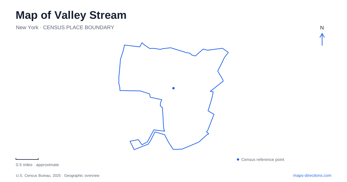
Street tiles load from OpenStreetMap when opened. The blue line shows the 2025 Census boundary.
- State
- New York
- Population · July 2025
- 40,379
- Land area
- 3.5 sq mi
- Water area
- 0.0 sq mi
Valley Stream combines a commercial center along Rockaway Avenue with a chain of parks and a historic house that recalls a much more rural landscape. Sunrise Highway helps orient the downtown streets, while Merrick Road and Hendrickson Avenue locate recreation and heritage destinations farther north. These named roads provide a useful framework for understanding how village life, former estates, and public open space fit together within a densely developed part of Long Island.
Rockaway Avenue's civic and commercial layers
Rockaway Avenue is a principal downtown corridor, and its intersection with Sunrise Highway marks a recognizable commercial location. The village's downtown planning documents describe mixed-use development there, combining housing above ground-floor business space. This arrangement reflects a center used for everyday living as well as shopping and travel.
One particularly useful historical address is 195 Rockaway Avenue. The building served as Village Hall from 1936 to 1955. After acquiring it in 2011, the village redeveloped it for a courthouse and offices supporting municipal services. Its changing use shows how civic functions can return to an older downtown property instead of moving entirely away from the commercial streets.
For a map of Valley Stream, this building supplies a more specific reference than a general downtown label. Rockaway Avenue contains both commercial activity and a civic history, while the highway intersection anchors its relationship to the broader road network. The older street and later development should be read together, rather than assuming the present buildings all belong to the same period.
Hendrickson Park around the lake
A.J. Hendrickson Park provides a major recreation setting, with the village recreation department identifying its address as 123 West Merrick Road. The village's recreation guide describes a one-and-a-half-mile path around the lake, a bicycle and walking path, fitness stations, and the Kay Everson Playground.
Tennis, pickleball, and basketball courts add organized playing space, while a September 11 memorial gives the park a commemorative role. This range of uses explains why the park appears in local information for very different activities. The lake paths form the landscape's unifying feature, but the courts, playground, and memorial each occupy their own place within it.
The village's downtown application also identifies a connection from Hendrickson Park to the state park. That relationship makes the open-space system more continuous than a map of individual facility labels might suggest. It is possible to understand the parks as adjoining parts of a larger green corridor while still distinguishing the village facilities from the state-managed grounds.
The state park's woodland setting
Valley Stream State Park is a day-use recreation area next to residential neighborhoods. Its mix of picnic areas, playing fields, playgrounds, and woodland paths differs from a remote hiking destination. The state describes the Squirrel Nut and Hickory Nut trails as opportunities for children to explore the park's habitats.
A separate half-mile exercise loop contains fifteen stations for stretching and strengthening activities. That short circuit serves a different purpose from wandering the nature trails or using the picnic areas. The park therefore combines several outing scales within one site, from a brief exercise walk to a longer visit centered on outdoor recreation.
Its state-park road address also distinguishes it from the village recreation office on West Merrick Road. Shared naming and connected green space do not erase the separate facilities. Reading both park names and their road approaches helps preserve the relationship between them without collapsing them into one destination.
A rural estate preserved on Hendrickson Avenue
The Pagan-Fletcher Restoration stands at 143 Hendrickson Avenue, between Fletcher and Corona avenues. Robert Pagan's family settled in the area around 1840, and his land once stretched north toward Dutch Broadway and south toward Merrick Road. Farming and a general store formed part of the property's early history.
Later ownership connected the house with the Fletcher family and then the Fairchild family. In 1948, the remaining property was sold to a housing developer; the surrounding Lynwood Gardens development followed in 1949 and 1950. The village purchased the threatened house in 1977, and restoration work took place from 1988 to 1992 after its National Register listing in 1983.
The house gives Valley Stream a surviving point of reference for an estate landscape that has largely become residential streets. Its address is now embedded within a neighborhood, but its history explains an earlier pattern of larger holdings, farming, and seasonal residence.
Together, Rockaway Avenue, the lake paths, woodland trails, and restored house reveal different stages of Valley Stream's development. The map contains a functioning downtown, connected recreation areas, and fragments of an older rural geography, each legible through specific roads and places.
Map and statistics: U.S. Census Bureau, 2025 Gazetteer, January 2025 generalized place boundaries and Vintage 2025 population estimates. Local references: Village of Valley Stream; New York State Parks; Valley Stream Historical Society / Village. Article prepared by Maps & Directions.