Map of Valdosta
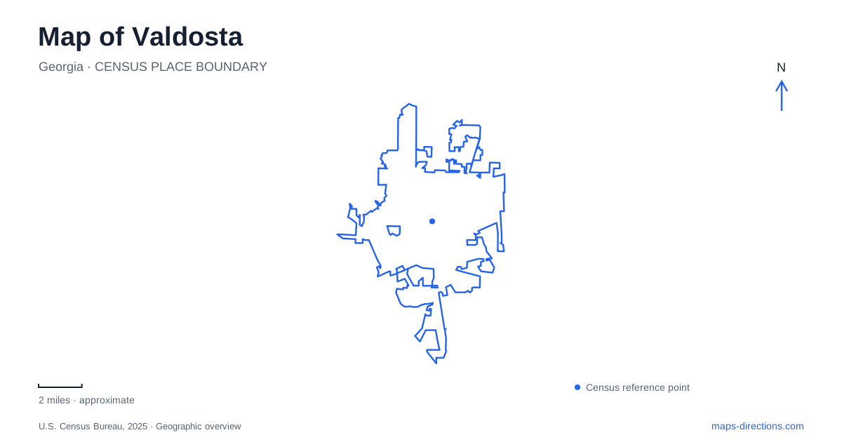
Street tiles load from OpenStreetMap when opened. The blue line shows the 2025 Census boundary.
- State
- Georgia
- Population · July 2025
- 56,186
- Land area
- 36.0 sq mi
- Water area
- 0.4 sq mi
Valdosta's central attractions form a useful sequence from downtown toward North Patterson Street and the university. Central Avenue anchors the county history museum, Ashley Street contributes public art, and Patterson leads toward galleries, a historic house, and the campus landscape. Drexel Park adds creekside green space beside that northern cluster. This arrangement makes a map especially helpful for combining architecture, local history, and a walk outdoors without treating every destination as an isolated stop reached from the interstate.
Central Avenue and the former Carnegie library
The Lowndes County Historical Society Museum occupies the former Carnegie library at 305 West Central Avenue. The building dates to 1913 and was designed by local architect Lloyd Greer. The historical society moved into it in 1977, giving an older public institution a new role in preserving the community's records. Its red-brick architecture is therefore part of the museum experience, not simply a container for exhibits.
Inside, collections address residents, local industries, organizations, and cultural life across the county. Photographs and documents allow visitors to connect named places on the current map with earlier streetscapes and activities. The museum also maintains research resources, including a genealogical library. A visit here provides a wider regional perspective than a stroll past downtown storefronts alone, explaining how the county and its principal city developed together.
For someone exploring central Valdosta, Central Avenue is a useful east–west reference before turning toward the northward cultural corridor. Nearby Ashley Street offers another recognizable feature: an azalea mural commissioned from artist Janice Rego. Its subject relates to the community's Azalea City nickname, placing that familiar label in the downtown streetscape rather than leaving it as an abstract slogan.
Galleries and a crescent-shaped porch
The Turner Center for the Arts lists its main address at 527 North Patterson Street. Its campus includes galleries, an Art Park, and spaces for creative programs. This introduces a contemporary cultural stop along the route toward the historic residential and university areas. Exhibitions and classes have their own schedules, but the address provides a stable anchor for locating this part of the corridor.
Farther along Patterson, The Crescent stands at the intersection with Gordon Street. Construction began in 1898 for William Stanley West, and the house is recognized for its semicircular porch and prominent columns. The surrounding city later grew around a property that originally had a more rural setting. That change is easy to overlook when the house is viewed only as a large building among present streets.
Garden club members saved The Crescent from demolition in 1951. Its continuing use for gatherings and preservation activities gives the property a civic role beyond its original domestic purpose. On a map of Valdosta, it also provides an architectural transition: downtown cultural venues lie to one side of the broader itinerary, while the university campus lies farther north along Patterson.
The university's distinctive architectural setting
Valdosta State University opened in 1913 as a normal college preparing women for teaching. Its first president selected Spanish mission architecture for the campus buildings, establishing a visual character that differs markedly from the former library and The Crescent. The institution's history therefore explains the red roofs, pale walls, and arches that make this area recognizable.
West Hall was completed in 1917 and named in honor of William Stanley West, who had supported the college's establishment. It originally brought classrooms, administrative offices, and the library into one building. Its dome and broad wings make it a natural landmark for a campus walk, while its history connects the academic setting with the earlier house on Patterson Street. The connection is personal and historical, as well as geographic.
Drexel Park and the trail edge
Drexel Park is at 1401 North Patterson Street beside the university area. The recreation authority describes roughly eleven acres with shaded open space, a creek and bridge, labeled tree species, and play equipment. The Azalea City Multipurpose Trail borders the park, adding a walking connection to the surrounding urban setting. The creek gives this small landscape an organizing feature of its own, within a district otherwise identified strongly by buildings.
The park is also known as a setting for the annual Azalea Festival. Outside an event, its shade and paths can provide a pause between cultural stops. Its place in the itinerary is straightforward: it belongs with the campus and Patterson Street destinations, while the county museum remains a downtown anchor on Central Avenue.
Viewed this way, Valdosta offers a central route with a clear progression through public history, art, domestic architecture, education, and green space. The street relationships explain that progression and give each stop a reason to be part of the same outing.
Map and statistics: U.S. Census Bureau, 2025 Gazetteer, January 2025 generalized place boundaries and Vintage 2025 population estimates. Local references: Lowndes County Historical Society and Museum; Valdosta Lowndes County Tourism Authority; Turner Center for the Arts; The Crescent Garden Center; Valdosta State University; Valdosta Lowndes Parks and Recreation Authority. Article prepared by Maps & Directions.