Map of Utica
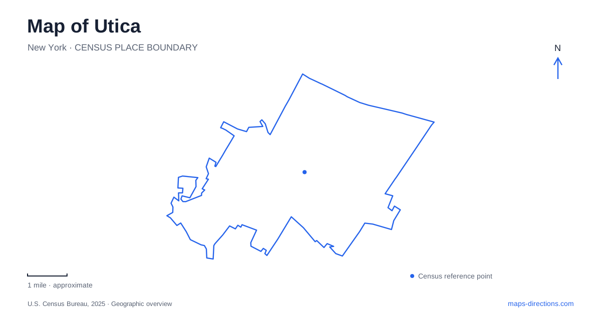
Street tiles load from OpenStreetMap when opened. The blue line shows the 2025 Census boundary.
- State
- New York
- Population · July 2025
- 62,978
- Land area
- 16.7 sq mi
- Water area
- 0.3 sq mi
Utica combines a historic rail-centered district, a major highway corridor and a park system extending into a different part of the urban landscape. These features give a map reader three distinct reference frames. Bagg's Square and Union Station identify the transportation heritage of the center, Genesee Street provides a recognizable cultural address, and the North–South Arterial explains regional driving connections. The parks require their own closer view because several major attractions can sit within the same large green outline without sharing an entrance.
Bagg's Square means more than the station building
Oneida County locates Union Station in Bagg's Square and dates the building to 1914. The city's description of the neighborhood extends the district from the auditorium area to the station. This makes the station a useful anchor for a district, but it does not make the two names interchangeable. A meeting in the neighborhood can be several local street decisions away from the particular station entrance you had in mind.
When arriving in Utica by rail or meeting someone who does, retain the station as its own saved destination. Then identify the next address separately. The building's historic role is helpful context, but present-day boarding arrangements, pickup instructions and services should come from the operator rather than an old neighborhood description. A map can show the relationship between stops without establishing a timetable or a permitted place to wait.
Genesee Street has a precise arts destination
Munson lists its museum at 310 Genesee Street. Its visitor information separately lists Pratt Munson admissions at 1200 State Street. This is a useful example of how an institution can have more than one relevant address. Someone using only the organization's name might find the right campus identity while still selecting the wrong building for their appointment.
For a cultural stop in Utica, choose the museum address if the museum is the actual purpose of the visit. A school inquiry, event or administrative appointment may require a different arrival instruction. Compare the selected result with the address in the invitation or visitor information before calculating the route. Keeping both the street name and the activity visible is more reliable than relying on a prominent arts label at a distant zoom level.
The Arterial is a corridor with specific exits
The New York State Department of Transportation identifies the North–South Arterial through the western part of the city with Routes 5, 8 and 12. The department's account of its reconstruction describes a grade-separated interchange at Court Street. Those details matter because the main road and the local street can cross vertically rather than meet as an ordinary surface intersection.
Read the interchange as a sequence of ramps and local connections, not merely as two lines crossing. A destination visible beside the highway may still require leaving at a particular exit and approaching on local streets. For a trip through Utica, the Arterial gives the regional framework; it does not replace the final street address. The map should show where the highway portion ends and the local portion begins before the destination pin fills the screen.
Roscoe Conkling Park contains several destinations
The municipal parks department places Valley View Municipal Golf Course, the zoo, the South Woods trail system and Val Bialas Ski Area within Roscoe Conkling Park. That is a substantial collection of different activities under one park name. A general park result is therefore useful for understanding the landscape but insufficient for choosing an arrival point.
Select the attraction or trail access appropriate to the visit, then compare it with the broader park outline. A golf destination, a zoo entrance and a woodland route should not be treated as equivalent endpoints simply because they fall within the same green area. The park illustrates why a local recreation map can add information that a regional road map omits: it separates individual facilities from their shared setting.
The two Proctor parks are distinct places
The city also distinguishes Thomas R. Proctor Park from Frederick T. Proctor Park. Its parks description associates the former with playing fields and the latter with quieter recreation, stone stairways and historic landscape features. Retaining the first name or initials in a search is a practical way to avoid selecting the wrong park.
A useful map of Utica keeps these named destinations separate while preserving their larger relationships: Bagg's Square for the station district, Genesee Street for the museum, the Arterial for highway travel and the named parks for recreation. Start with the purpose of each stop, select its actual access point and only then compare the connecting route. That approach makes the city's varied geography readable without confusing a district, an institution and a large park with single interchangeable pins.
Map and statistics: U.S. Census Bureau, 2025 Gazetteer, January 2025 generalized place boundaries and Vintage 2025 population estimates. Local references: Oneida County; City of Utica; Munson; New York State Department of Transportation. Article prepared by Maps & Directions.