Map of Utah
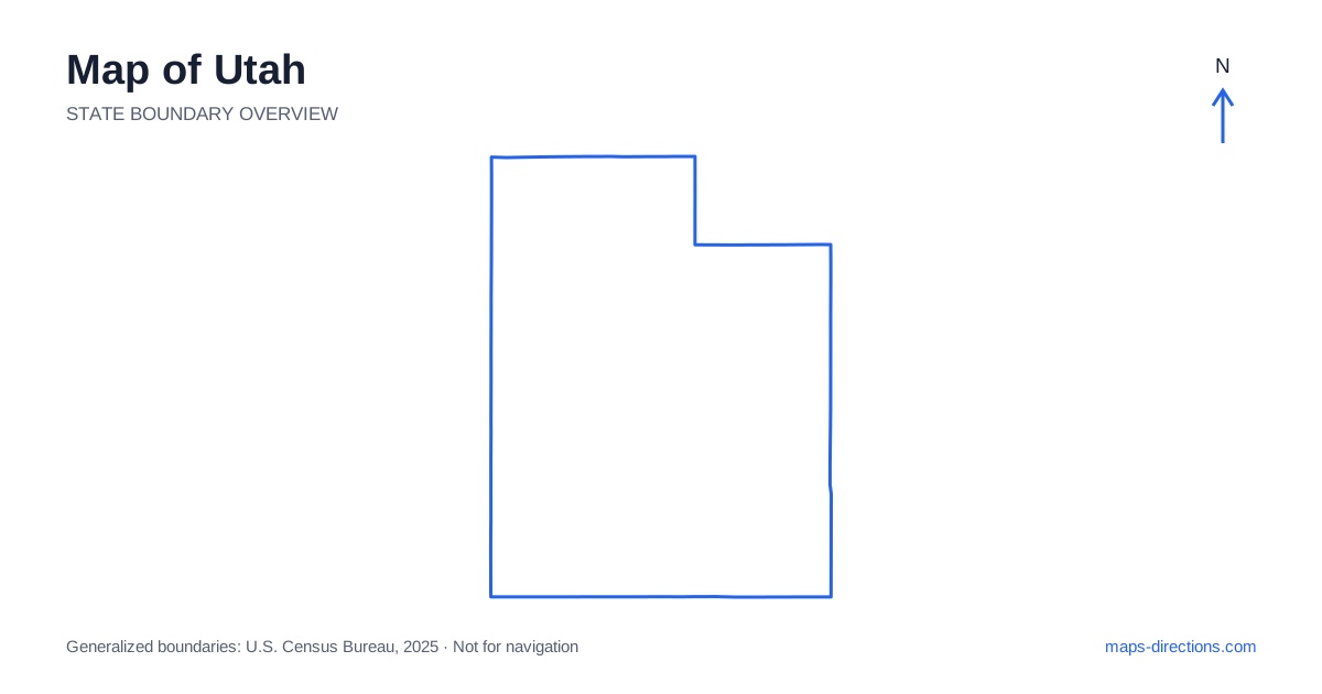
Utah combines a concentrated northern urban corridor with mountain ranges, broad desert basins and deeply cut southern canyon landscapes. Salt Lake City, Ogden and Provo orient the Wasatch Front, while St. George and Moab anchor different parts of the south. The map becomes useful when those regions are kept separate. A canyon destination is not simply an extension of a city stay, and a mountain valley across a ridge may need a much longer road approach than its distance on the outline suggests.
Read the northern cities between lake and mountains
The Wasatch Front is the main urban corridor of Utah, with Salt Lake City, the capital, between the Great Salt Lake region and the mountains to the east. Ogden lies farther north and Provo farther south. These cities form a broad connected corridor but still have distinct arrival points, suburbs and approaches to nearby mountain destinations.
Interstate 15 provides an important north-to-south route through this region. An airport arrival, a downtown stay and a canyon entrance are different local map tasks even when they share the same metropolitan description. Choose the exact destination before deciding which part of the corridor makes a sensible base. The mountains and large lake help orient the overview, while the detailed roads establish the final connection into a neighborhood or recreation area.
Treat mountain valleys as separate approaches
Park City lies beyond the mountains east of the capital region and has its own road relationship to surrounding valleys. A destination that appears close across a ridge is not necessarily reached by the nearest-looking canyon road. The correct approach depends on the particular town, resort or trailhead, not simply its position relative to the urban skyline.
Mountain roads cross the terrain at specific passes and corridors. A scenic route can be useful for a planned excursion while being inappropriate as an assumed shortcut between overnight bases. Trace the full connection and keep current access conditions separate from the geographical overview. A road's appearance on the map explains where it goes, but not whether it is suitable or available for the intended journey on a particular date.
Follow the western desert and central highway framework
Across northern Utah, Interstate 80 provides an east-to-west connection between the western desert, the Salt Lake region and the route toward Wyoming. The Great Salt Lake and surrounding basins give this area a distinctive map pattern. A destination on one side of the lake should not be treated as directly connected to a point across the water or salt flats.
Farther south, Interstate 15 runs along a different corridor toward Cedar City and St. George. Interstate 70 supplies an important east-to-west connection across the central-southern interior. These routes establish the broad framework, while smaller roads serve particular valleys and recreation areas. A stop away from the main highway needs its actual access and onward connection shown rather than being counted as a minor point beside the route.
Separate the southwestern parks from the southeastern region
St. George and the surrounding southwest form one regional base, with Zion National Park reached through particular gateway approaches. Bryce Canyon lies in a different setting farther northeast at higher elevation. A trip combining these areas should show the connecting roads and visitor entrances explicitly rather than joining park labels with a straight line across the terrain.
Moab anchors the southeastern region near Arches and Canyonlands, but those parks also contain distinct entrances and districts. A general park-center pin can be especially misleading in canyon country, where cliffs and rivers separate nearby-looking points. Select the intended district or named visitor area before choosing the route. The shared desert landscape does not make every park destination part of one compact local circuit.
Read rivers and canyons as barriers to direct travel
Southern Utah contains deeply incised river systems, plateaus and canyon walls that strongly shape road access. The Colorado and Green rivers are major orientation features, but a location across a canyon may require a long drive to a bridge or a different approach entirely. Geographical proximity should not be substituted for a road connection.
The Lake Powell region adds reservoir arms and remote shorelines to that pattern. A marina, visitor facility or viewpoint needs its precise arrival road rather than a pin somewhere beside the water. Distinguish a road visit from any boating or other separate transport segment. A detailed terrain-and-road view is particularly useful here because the broad outline cannot show how cliffs, water and plateau edges channel the available routes.
Organize the itinerary around connected gateways
A Wasatch Front visit, a mountain-valley stay, a southwestern park journey and a Moab-area itinerary each offer a coherent starting framework. Combining them creates real regional transfers. Place overnight stops near the gateways serving the next day's destinations rather than choosing a visually central point that lies across a mountain range or canyon system from the intended visits.
For a Utah itinerary, keep the selected valley, park district or shoreline entrance attached to every stop. Use the state map to establish the broad region and closer views to identify the actual road access. This preserves the difference between an interstate transfer and the smaller connections into dramatic terrain. The resulting plan follows usable corridors through the landscape instead of assuming the shortest line across the map is also the simplest journey.