Map of Urbandale
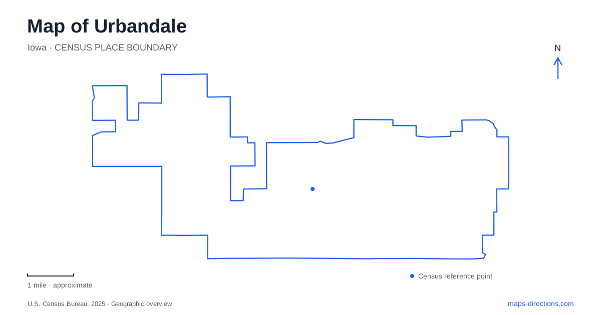
Street tiles load from OpenStreetMap when opened. The blue line shows the 2025 Census boundary.
- State
- Iowa
- Population · July 2025
- 48,570
- Land area
- 22.5 sq mi
- Water area
- 0.0 sq mi
Urbandale’s map combines a former streetcar suburb, a large outdoor history museum, and a network of public parks spread across the developed community. These elements represent different kinds of movement: the old line connected residents with Des Moines, the museum’s paths connect interpreted historical periods, and modern trails connect recreation spaces. Reading them separately gives the city a more specific identity than a general map of the metropolitan area would provide.
A railway plan that became a streetcar suburb
The city’s history describes a railway constructed in 1905 with ambitions to continue northwest through Grimes and beyond. Difficulty obtaining the necessary right of way stopped that expansion, and the line instead ended at a turnaround near Seventieth Street and Roseland Drive. Trolley Park commemorates that location.
The route became a streetcar connection carrying commuters, freight, supplies, and people seeking services in Des Moines. Land around the station was subdivided in 1907, while municipal incorporation followed in April 1917. This sequence explains why the transport line matters to the town’s development even though the streetcars have disappeared.
Coal mining also formed part of the early economy. The municipal account identifies former shaft-mine locations around several present-day streets and records the last operating mine’s closure in 1947. These historical sites belong to an earlier land-use pattern beneath the modern suburb; they are not public mine attractions or invitations to search for underground entrances.
Several historical landscapes inside one museum
Living History Farms at 11121 Hickman Road is a major Urbandale destination, but its internal geography needs a different reading from the surrounding road map. The outdoor museum includes interpreted farms representing 1700, 1850, and 1900, together with the recreated 1876 town of Walnut Hill. The dates identify educational settings rather than separate municipalities that can be reached by ordinary public streets.
At the Ioway farm, crops and seasonal dwellings explain Indigenous agricultural practice. The pioneer site presents the transition from household subsistence toward selling farm products, while the later horse-powered farm demonstrates a different level of equipment and production. The reconstructed town adds trades and services, including blacksmithing, printing, and retail activity. These contrasts give the museum a sequence of environments rather than one collection arranged in a single building.
Tractor-drawn carts take visitors to the farm section, where unpaved trails connect the sites. The operator offers shorter options for people who cannot comfortably walk the full route. That arrangement matters when interpreting distances: movement inside the museum depends on its own paths and visitor transport, not simply the roads visible around the property.
Walker Johnston's concentration of recreation
Walker Johnston Park is listed at 9000 Douglas Avenue. Its facilities include playing fields, courts, a pond, trails, a playground, and skateboarding space. The Giovannetti Community Shelter and the open-air shelter are separate named facilities within the same larger park.
For Urbandale residents arranging a gathering, the specific shelter or activity area provides more useful information than the park’s general name. The combination of indoor rental space, water, and active sports also explains why several different destination labels may appear within one green area. A pond walk and a field event share a park boundary without necessarily sharing an arrival point.
Lakeview and the Aurora Avenue reference
Lakeview Park lies at Eightieth Street and Aurora Avenue. Its pond, fishing access, playground, picnic facilities, public art, and trails make it another local recreation setting. The name should not be confused with the much larger outdoor museum or with the western regional park simply because all contain paths and open ground.
Aurora Avenue is also a useful reference farther west, where the Walnut Creek Regional Park shelters sit near 147th Street. The same road name therefore connects different parts of the community without making the parks adjacent or interchangeable. Street numbers and facility names supply the necessary additional precision.
More than one entrance at Walnut Creek
Walnut Creek Regional Park’s general listing gives 153rd Street and Horton Avenue, while its shelter directions identify locations just west of Aurora and 147th. The large shelter is south of Aurora; the smaller one is north. Horizon’s Ridge playground is part of the same regional park, with access near 3923 153rd Street.
This is a useful example of why one park can legitimately have several map references. The desired activity determines the best arrival point. Splash-pad planning adds another layer to park maps: a proposed recreation feature should be checked against the city's facility listings before it becomes the focus of a visit.
Urbandale’s public landscape becomes clearer when these layers remain visible: streetcar origins, interpreted agricultural history, compact neighborhood recreation, and a regional park with multiple access points. A map of Urbandale can connect them while preserving the individual purpose and history of each destination.
Map and statistics: U.S. Census Bureau, 2025 Gazetteer, January 2025 generalized place boundaries and Vintage 2025 population estimates. Local references: City of Urbandale; Living History Farms. Article prepared by Maps & Directions.