Map of Urbana
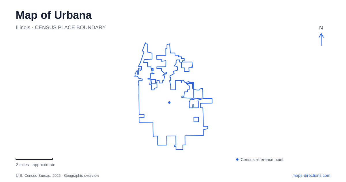
Street tiles load from OpenStreetMap when opened. The blue line shows the 2025 Census boundary.
- State
- Illinois
- Population · July 2025
- 39,719
- Land area
- 11.8 sq mi
- Water area
- 0.1 sq mi
Urbana has several distinct landscapes within a relatively compact urban area: a county-seat downtown, the eastern side of a university campus, creekside woodland, and a former farm restored partly to prairie. A map becomes more informative when these areas are read as separate chapters of local development. The commercial center and campus are close, but their principal destinations do not occupy the same blocks. The large parks introduce another geography, with entrances, watercourses, and paths that matter more than the position of a single label.
Downtown around the market
The Market at the Square has operated since 1979 at East Illinois Street and South Vine Street. Its position provides a useful anchor for understanding downtown Urbana: this is a gathering place for local growers and makers within the established commercial district, rather than a farmers market on the edge of a rural highway. The intersection is a more precise reference than a broad downtown search result.
Market geography is also temporary geography. A space used by stalls and shoppers during an organized market does not have the same arrangement throughout the week. The street names remain dependable reference points even when the event itself is absent. Reading the surrounding blocks first makes the location understandable independently of a particular market date. It also separates the market site from university buildings farther west, which can otherwise dominate a regional search for cultural activities.
A museum that moved across campus
The Spurlock Museum stands on Gregory Street on the eastern side of the University of Illinois campus. Its present location represents a substantial move. The institution traces its beginnings to cultural collections displayed on the fourth floor of Lincoln Hall, with two museums opening in 1911 and a third following in 1917. These collections were subsequently combined; the resulting institution became the World Heritage Museum in 1971.
The older museum closed in 1998, and the purpose-built Gregory Street building opened in 2002. That chronology explains why historical accounts and present-day maps can point toward different parts of campus without describing two equivalent visitor destinations. The current building incorporates permanent exhibition galleries alongside research, storage, learning, and auditorium space. Its position near the campus edge also gives it a different setting from the earlier upper-floor displays overlooking the main quadrangle. The relocation is a useful example of how institutional history can leave behind an address that no longer describes public access.
Crystal Lake and its different edges
North of downtown, Crystal Lake Park follows the Saline Branch through a mature urban forest. Urbana's park district dates to 1907, but this landscape had already served as a private recreation ground. Earlier activities included steamboat rides, winter skating, and public gatherings. Benjamin Swartz acquired the property in 1897 and gave it the Crystal Lake name, years before it became the district's first park.
The modern park has distinct northern and southern destination groups. The northern side brings together the Anita Purves Nature Center, Busey Woods, and the aquatic center around a shared parking area. Farther south are the Lake House, playground, and labyrinth. An accessible fishing pier is west of the Lake House. These relationships are more useful than assuming that any entrance to the park places a visitor beside every facility. The wooded creek landscape and the developed lakeside recreation areas belong to one park, but they offer different experiences and different points of approach.
Busey Woods is still being restored
The woodland is not an untouched remnant everywhere. Its southwestern area contains fill once placed in anticipation of development, including concrete and asphalt remnants beneath thin soil. Restoration addresses that altered ground as well as invasive vegetation. This history helps explain why adjoining portions of the woods may differ in vegetation and surface conditions.
The Saline Bridge also requires a distinction between existing infrastructure and future work. Built around 1980, it was identified for replacement after a 2023 engineering assessment. The park district's replacement plans include a wider crossing. Use the district's trail guidance to establish access; a design drawing is not evidence that a particular bridge is available for a walk.
Prairie, sculpture, and a former farm
Meadowbrook Park supplies a southern counterpoint to the woodland north of Urbana. The park district acquired the former McCullough farm in 1967, and prairie restoration began in 1977. Its farmstead, gardens, restored prairie, and savanna make the land's agricultural past and ecological restoration visible within the same public landscape.
The Wandell Sculpture Garden introduces another layer. Sculptures sit within an outdoor setting of paths and vegetation rather than inside a conventional gallery. The collection includes changing loans, so an individual sculpture's presence should be checked against the park's own collection information. A photograph of a particular work therefore records a moment in the park's history, not a permanent inventory. Together, the downtown market, relocated university museum, wooded northern park, and southern prairie offer four different ways to understand Urbana through its map.
Map and statistics: U.S. Census Bureau, 2025 Gazetteer, January 2025 generalized place boundaries and Vintage 2025 population estimates. Local references: City of Urbana; Spurlock Museum; Urbana Park District. Article prepared by Maps & Directions.