Map of Union City
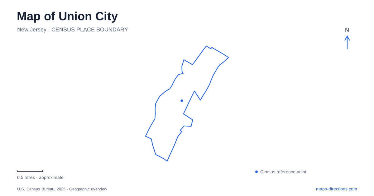
Street tiles load from OpenStreetMap when opened. The blue line shows the 2025 Census boundary.
- State
- New Jersey
- Population · July 2025
- 66,656
- Land area
- 1.3 sq mi
- Water area
- 0.0 sq mi
Union City occupies a ridge in the lower Palisades, a setting that makes height as important as distance. Streets, rail tunnels and reservoir paths can appear close on a map while occupying very different levels of the landscape. Bergenline Avenue provides a major transit reference, while numbered streets locate cultural destinations and connections across the surrounding neighborhoods. This is a place where a map benefits from showing infrastructure as well as municipal boundaries.
A station inside the Palisades
Bergenline Avenue station sits between 48th and 49th streets. Its platforms belong to Hudson-Bergen Light Rail, with the railway passing through a tunnel in the Palisades. NJ TRANSIT opened the station in 2006, creating a connection between the ridge communities and destinations along the Hudson waterfront. Elevators bridge the difference between street level and the underground platforms.
That arrangement explains why someone following tracks on a street map will not find an ordinary surface station beside the road. The railway is part of the landscape below the neighborhood. Street-level ticket machines are provided on the Bergenline Avenue and Kennedy Boulevard sides, and tickets need to be purchased and validated before passengers enter the platform area. The distinction between the entrances and the platform is a practical feature of this particular station.
Elevator operation deserves attention here because vertical movement is integral to the journey. NJ TRANSIT posts station-specific advisories, including elevator notices. A route planned through Union City should account for those notices when access depends on a lift; a rail service operating normally does not necessarily mean every station elevator is available.
Bergenline Avenue as a bus connection
The station also functions as a transfer point for buses. NJ TRANSIT's published route information identifies stops at the light-rail station and along Bergenline Avenue at numbered cross streets, including 32nd and 23rd. These cross-street references provide a useful way to divide a longer avenue into recognizable sections.
The wider light-rail system connects places including Hoboken Terminal, Newport and Exchange Place, as well as communities farther along the Hudson County corridor. Those connections are different from a direct rail trip beneath the Hudson to Manhattan. Reading the network map makes the transfer possibilities visible without confusing the local light-rail line with PATH, commuter rail or a ferry. The station is a regional connection within a neighborhood street system, not a substitute name for every transit service nearby.
A reservoir above the tunnel approach
The reservoir park shared with Weehawken presents another striking relationship between infrastructure and elevation. Hudson County's visitor guide places the fourteen-acre reservoir above the New Jersey entrance to the Lincoln Tunnel. Its three-quarter-mile walking loop follows the water on a gravel surface, with benches and views toward the New York skyline.
For Union City, this is an outdoor destination defined by a contained body of water on the ridge. It differs from a waterfront promenade beside the Hudson. The reservoir loop lets visitors circle one landscape, while the skyline provides a distant visual reference. The county's suggested bus approach uses Palisade Avenue at Highpoint Avenue and 22nd Street, helping place the park within the local numbered-street geography.
Shared recreation at the southern edge
Washington Park is shared with Jersey City, illustrating how public open space can serve adjoining municipalities. Hudson County describes both shaded walking areas and facilities for active recreation, including baseball and softball fields, tennis and basketball courts, a playground and a seasonal spray pool. Its range of uses makes it more than a single picnic destination.
A Union City map should therefore show the park as part of a cross-boundary neighborhood landscape. A game, a playground visit and a walk through the landscaped areas lead to different parts of the same public space. The municipal line explains jurisdiction, but the connected recreation setting explains how people actually use the area.
A theatre on 32nd Street
Park Theatre, at 560 32nd Street, adds a cultural landmark to this geography. Hudson County traces its performing-arts history to 1931 and describes a restoration effort that returned the building to use after deterioration. Its long association with local and visiting performers gives the numbered street an identity beyond its role as a cross-town reference.
Theatre, reservoir, county park and underground station reveal four distinct sides of Union City. One preserves a performance tradition, another adapts a water landscape for walking, a third shares recreation across a boundary, and the station connects the ridge to the wider region. Together they make elevation, cross streets and institutional purpose central to reading the city accurately.
Map and statistics: U.S. Census Bureau, 2025 Gazetteer, January 2025 generalized place boundaries and Vintage 2025 population estimates. Local references: Hudson County Tourism; NJ TRANSIT. Article prepared by Maps & Directions.