Map of Tyler
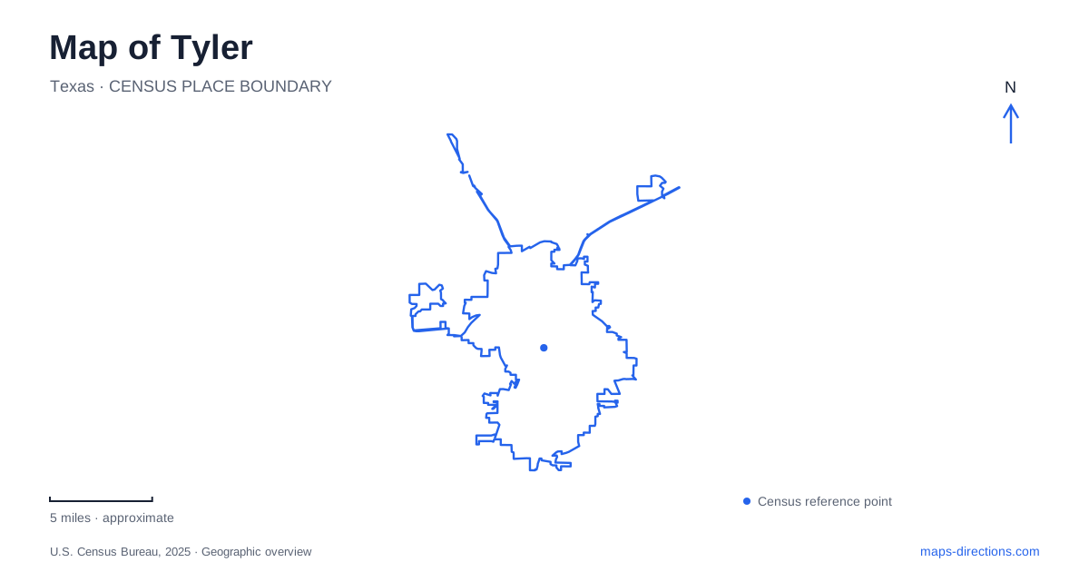
Street tiles load from OpenStreetMap when opened. The blue line shows the 2025 Census boundary.
- State
- Texas
- Population · July 2025
- 113,723
- Land area
- 57.9 sq mi
- Water area
- 0.5 sq mi
Tyler combines a compact historical core with gardens, residential districts, and woodland destinations that spread well beyond it. The map becomes easier to read when these places are separated into their actual settings: the rose garden west of downtown, the Azalea District among residential streets, the railroad depot near the older center, and the state park north of Interstate 20. Their shared connection to local history does not make them one continuous visitor district.
A formal landscape beside West Front Street
The municipal rose garden occupies a site near West Front Street and South Peach Avenue, with its visitor address at 420 Rose Park Drive. This places it roughly a mile west of downtown. On a street map, West Front Street supplies the broad east–west reference; within the garden, the important lines are the walkways, beds, terraces, and water features.
The landscape developed over several decades. The city acquired the property in 1912 for a park and fairgrounds. Federal public works support brought construction in 1938, including substantial garden infrastructure, but work stopped during World War II. Construction resumed in 1951, and the garden opened in 1952. Its layout therefore records both a prewar public landscape project and the later effort to complete it.
Keith Maxwell prepared the original design, subsequently revised by local nurseryman Henry Thompson. The formal arrangement still helps visitors understand the grounds as a designed place rather than simply a collection of flowers. The associated rose museum explains the growing industry and the Texas Rose Festival through displays that include festival costumes. Together, the garden and museum connect horticulture with the public celebrations that made roses part of Tyler's identity.
Residential architecture along the azalea routes
The Azalea Residential Historic District has a different scale. Its approximate boundaries include Dobbs Street on the north, Fair Lane on the south, South Robertson Avenue on the west, and Highland Avenue and Old Bullard Road along the eastern sides. Those streets frame a neighborhood, rather than a single attraction with a gate.
Historic preservation records identify this as the city's largest residential concentration of early- to mid-twentieth-century houses. Queen Anne, Craftsman, Classical Revival, Tudor, Ranch, and International styles appear in the district. That variety makes the area useful for understanding several generations of domestic architecture within the same part of town. The seasonal flowers add another layer to an already established residential landscape.
The official azalea route map identifies Dobbs and Lindsey routes and marks reference points such as Bergfeld Park, Children's Park, and College Avenue. These named places help translate a flower trail into an ordinary street itinerary. The routes run through a lived-in neighborhood, so their significance lies in the sequence of houses, gardens, and public spaces. They are different from the formal paths inside the rose garden, even though both are central to Tyler's garden reputation.
North Broadway and the railroad story
The Goodman Museum at 624 North Broadway Avenue preserves original furnishings, photographs, and other objects dating from the mid-nineteenth century. The address gives a clear northern reference for a historical visit centered on downtown. Its domestic collection complements the neighborhood architecture farther south: one presents objects within a historic home, while the other presents an extensive residential streetscape.
Nearby in the older city center, the Cotton Belt Depot Museum stands at 210 East Oakwood Street. The depot served railroad passengers between 1905 and 1956. Its exhibits explain the railway that began as a narrow-gauge connection carrying cotton and other produce to Big Sandy and developed into the Cotton Belt system. A map of Tyler therefore contains evidence of two different agricultural histories: rose cultivation in the garden landscape and freight movement at the depot.
These museums are particularly useful geographical anchors because each retains a strong relationship between location and subject. The depot is not merely a building containing railroad displays; it is part of the physical history being interpreted. North Broadway and East Oakwood Street provide concrete addresses for exploring that older urban setting.
The state park requires a northern regional view
Tyler State Park lies north of the city, two miles north of Interstate 20 by way of FM 14 and Park Road 16. The park address is 789 Park Road 16. This approach is important when deciding whether to combine a downtown museum visit with an outdoor excursion: the park belongs on the wider regional map, beyond the central garden and residential districts.
The park's own map shows a lake surrounded by camping areas, trails, picnic facilities, and recreation access points. Its internal road and trail network deserves a separate look after locating the highway approach. Keeping that regional woodland outing distinct from the rose garden, azalea streets, and historical core produces a more useful itinerary, with each landscape understood in its own setting.
Map and statistics: U.S. Census Bureau, 2025 Gazetteer, January 2025 generalized place boundaries and Vintage 2025 population estimates. Local references: Texas Historical Commission; City parks department; Visit Tyler; Historic Tyler Inc.; Texas Parks and Wildlife Department. Article prepared by Maps & Directions.