Map of Tuscaloosa
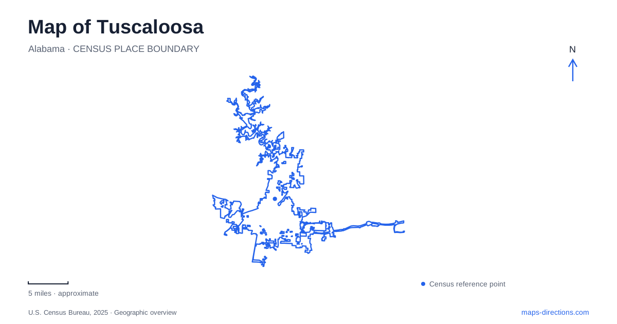
Street tiles load from OpenStreetMap when opened. The blue line shows the 2025 Census boundary.
- State
- Alabama
- Population · July 2025
- 114,316
- Land area
- 63.0 sq mi
- Water area
- 10.1 sq mi
Tuscaloosa's map connects state-government history, civil rights organizing, university life, and the Black Warrior River. These subjects occupy different parts of the city, but several surviving buildings and public places make their relationships easy to follow. Capitol Park recalls the years when the state legislature met here. The riverfront provides an outdoor route near downtown. Farther into the university campus, museums and historic buildings explain another long-established center of public life.
Capitol Park and the relocated Old Tavern
Capitol Park marks the site of Alabama's state capitol during the city's tenure as capital from 1826 to 1846. The surviving ruins give the park a historical purpose beyond open space. They identify a former seat of government whose location remains significant even though the state's political center later moved to Montgomery.
Nearby, the Old Tavern Museum preserves a building erected in 1827 by innkeeper William Dunton. It originally stood three blocks from its present site and served travelers on a stagecoach route. Its relocation to Capitol Park brought two kinds of early civic life into close geographical association: state government and the accommodation of people moving through the region.
A Tuscaloosa history itinerary can begin with that contrast. The park's ruins represent a vanished institutional building, while the tavern survives through preservation and relocation. Seeing them together gives a more layered account than assuming every historic building remains in its original position. It also makes the early city legible through specific places rather than a list of dates detached from the street map.
Civil rights landmarks extend the historical route
First African Baptist Church at 2621 Stillman Boulevard was a central location for civil rights meetings and the home church of local leader T. Y. Rogers Jr. It was also the setting of the violent event remembered as Bloody Tuesday. The church's role shows how neighborhood institutions became places for organizing and collective action.
The Howard-Linton Barbershop at 1311 T. Y. Rogers Jr. Avenue served as another gathering place. Ministers planned civil rights campaigns there, and Thomas Linton preserved material documenting the struggle. Nearby in the broader historical landscape, the Murphy-Collins House at 2601 Paul W. Bryant Drive incorporated materials salvaged from the old capitol after its 1923 fire. These sites connect political history, Black community life, and the reuse of physical building materials.
For Tuscaloosa visitors, the civil rights trail supplies a framework for understanding these addresses together. The buildings are evidence of how organizing operated through churches, businesses, and homes. They broaden a downtown historical visit beyond the former state capitol and make community institutions central to the story.
The riverfront follows the southern bank
The Riverwalk runs along the southern bank of the Black Warrior River near downtown. Jack Warner Parkway provides an important road reference, and the city lists a riverwalk location at 2710 Jack Warner Parkway. The path and adjoining park areas create a setting for walking alongside the river rather than through the commercial blocks.
This bank-side orientation is useful when comparing destinations across the water. The riverfront route follows the shore; it should not be read as a substitute for a road bridge. Its value lies in connecting views, park spaces, and the downtown edge at a slower pace. A Tuscaloosa outing can use the riverwalk as an outdoor interval between historical or cultural visits, allowing the city's river setting to become part of the experience.
Campus museums have distinct histories and locations
The Gorgas House Museum stands at 810 Capstone Drive, at McCorvey Drive, just off the university Quadrangle. Built in 1829, before the university opened, it is the oldest structure on campus and one of the few that survived the Civil War destruction. Its position near the Quad makes it a compact introduction to the institution's early built environment.
The Alabama Museum of Natural History occupies Smith Hall at 427 Sixth Avenue. Smith Hall was dedicated in 1910 and originally accommodated the Geological Survey as well as university teaching. The museum's collections connect geological research and natural history with the academic setting around them. The house museum and Smith Hall therefore offer different subjects and different architectural periods within the same campus visit.
Tuscaloosa also serves as a starting point for visiting Moundville Archaeological Park, but that university museum property is at 634 Mound State Parkway in Moundville. It belongs to the same museum system while requiring a separate regional journey. Keeping the campus buildings and the archaeological park distinct makes it easier to choose an itinerary with enough time for the actual places involved, from early state government to the much deeper history of the Black Warrior Valley.
Map and statistics: U.S. Census Bureau, 2025 Gazetteer, January 2025 generalized place boundaries and Vintage 2025 population estimates. Local references: Visit Tuscaloosa; Tuscaloosa Civil Rights History and Reconciliation Foundation; City of Tuscaloosa Arts and Entertainment; University of Alabama Gorgas House Museum; University of Alabama. Article prepared by Maps & Directions.