Map of Turlock
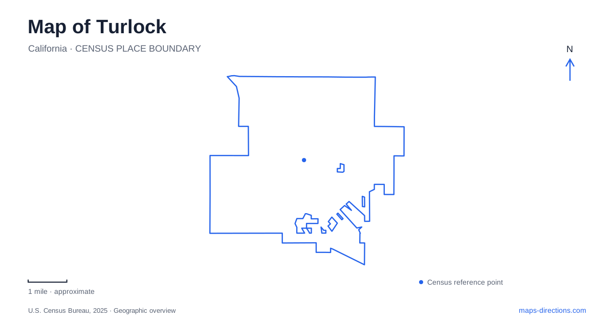
Street tiles load from OpenStreetMap when opened. The blue line shows the 2025 Census boundary.
- State
- California
- Population · July 2025
- 72,864
- Land area
- 16.8 sq mi
- Water area
- 0.0 sq mi
Turlock grew through the relationship between agriculture and transportation. John Mitchell's arrangement with the Southern Pacific brought a depot and encouraged businesses serving farmers and rail passengers. Irrigation later supported a more varied agricultural economy. Those origins provide useful context for a city whose present-day landmarks include a downtown history museum, a regional fairground, and a university campus with an engineered water landscape. These places represent different stages of development rather than variations on one commercial center.
A former market preserving local history
The historical society's museum occupies 108 South Center Street. Albert Chatom constructed the building in 1910 in the California Mission style, and the Palace Meat Market operated there during its early years. Subsequent uses included small businesses before the property was donated for a museum. Restoration was completed in 2002, followed by the museum's opening in 2003.
The building is therefore part of the history it presents. Its modest commercial scale contrasts with the larger institutional grounds elsewhere in town. A visitor can consider the former market as evidence of the everyday services that supported the surrounding community, while the displays widen that view to local families, economic development, and civic life.
For an introduction to Turlock, South Center Street provides a tangible starting point: a surviving business building adapted to explain the city around it. The museum's own architectural history helps connect the streets outside with the objects and stories inside.
Broadway's library legacy and fairgrounds
The Carnegie Arts Center stands at 250 North Broadway. Its original library opened in 1916 and served that role until 1968. The building became an arts center in 1979, but a major fire in 2005 left little beyond its exterior walls. The rebuilt and expanded center reopened in 2011, combining the historic fabric with a new addition. The original scorched walls remain visible from the newer lobby.
That layered structure makes the arts center more than an exhibition address. It shows how a civic building can retain evidence of damage and recovery while taking on a broader cultural role. Classes, exhibitions, and performances give the former library an active purpose without erasing its earlier identity.
Farther along the same named street, the Stanislaus County Fairgrounds lists its address as 900 North Broadway. The fairground introduces a much larger event landscape than the arts center. Broadway thus connects two very different kinds of cultural infrastructure: a restored downtown building and grounds designed for exhibitions, entertainment, and agricultural gatherings. The street name is a useful shared reference, while the different addresses indicate distinct destinations.
Crane Park and the established street landscape
Crane Park, at 1555 East Canal Drive, is one of the city's oldest parks. Large shade trees, perimeter walking paths, tennis courts, picnic areas, and playground space create a neighborhood recreation setting. A carving of bears in an old deodar cedar is a particularly distinctive feature of the playground.
The park offers a smaller-scale outdoor experience than a university campus or fairground. Its shade trees and perimeter paths make the grounds legible as a contained place for walking, resting, or gathering. On a map of Turlock, East Canal Drive therefore adds a useful recreation reference to the cultural landmarks around Center Street and Broadway.
Monte Vista Avenue and the university
California State University, Stanislaus lies along Monte Vista Avenue, with its principal address at One University Circle. The university directs arrivals from Highway 99 east along Monte Vista before turning north into University Circle. That approach establishes a clear relationship between the regional highway, the local avenue, and the campus entrance.
The reflecting pond at University Circle is both a visual landmark and part of a working system. Officially named for Dr. Marvalene Hughes, it belongs to a network of ponds, pipes, and pumps that captures stormwater and irrigation runoff for reuse. The system began with flood-control and landscape-irrigation purposes and has been expanded over time. Water visible in the campus landscape consequently has an operational role as well as an aesthetic one.
The University Art Gallery adds another cultural destination in Turlock. It is housed in the Theatre Building, making the campus a second setting for viewing art alongside the Carnegie downtown. The two institutions occupy different environments: one within an adapted historic library, the other within an educational campus organized around academic buildings and landscaped grounds.
These relationships give Turlock a coherent geography. Center Street preserves everyday commercial history, Broadway supports arts and large events, East Canal Drive provides established parkland, and Monte Vista leads toward the university. Reading those places together reveals a city shaped by farming, civic investment, and education rather than by a single attraction.
Map and statistics: U.S. Census Bureau, 2025 Gazetteer, January 2025 generalized place boundaries and Vintage 2025 population estimates. Local references: Turlock Historical Society; Carnegie Arts Center; Stanislaus County Fairgrounds; City of Turlock; Stanislaus State. Article prepared by Maps & Directions.