Map of Tulsa
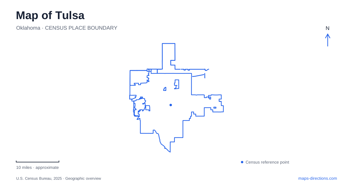
Street tiles load from OpenStreetMap when opened. The blue line shows the 2025 Census boundary.
- State
- Oklahoma
- Population · July 2025
- 416,209
- Land area
- 197.7 sq mi
- Water area
- 4.1 sq mi
Tulsa has several overlapping geographic stories: the historic highway, the Arkansas River, downtown cultural districts, and wooded land on the river's west bank. Each gives a different way to organize a map. Route 66 follows city streets and older alignments, river recreation gathers around particular crossings and parks, and downtown identities often center on a landmark intersection. Understanding those patterns helps distinguish places that share a broad district label but have different histories and approaches.
Route 66 leaves more than one line on the map
Eleventh Street and Southwest Boulevard are major references for the historic highway. The old 11th Street Arkansas River Bridge stands between the Southwest Boulevard Bridge and the Interstate 244 bridge. Its position records an earlier crossing within a landscape now containing several transport structures.
The Cyrus Avery Centennial Plaza provides a viewpoint toward that historic bridge, along with interpretation of the highway's development. Avery's role in shaping Route 66 explains why the route has such a prominent place in the city's identity. The plaza and old bridge are historical landmarks, not directions to drive onto every visible span.
The Blue Dome adds another piece of the route's history. At 2nd Street and Elgin Avenue, the former 1920s Gulf Oil station stood on an original alignment. A Tulsa map showing both this location and the 11th Street corridor is not necessarily contradicting itself: highway routes changed over time. Historic-route signs and contemporary road names need to be read together.
Downtown districts preserve specific local stories
The Blue Dome building gives its name to the surrounding entertainment district. Its small, distinctive structure anchors an area of restaurants, shops, and venues, making the intersection a useful reference within the larger downtown grid.
Greenwood has a different historical significance. Greenwood Rising stands at the southeast corner of Greenwood Avenue and Archer Street, at the gateway to the district known as Black Wall Street. The history center interprets the community's achievements and the 1921 race massacre. That location connects the institution to the neighborhood whose history it presents.
Music landmarks create another concentration. The Woody Guthrie Center and Bob Dylan Center occupy addresses on East Reconciliation Way, while Cain's Ballroom is on North Main Street. The Guthrie Center faces Guthrie Green, giving the museum a clear relationship to an outdoor public space. These are useful map relationships because they show a cluster of cultural destinations without reducing all of downtown Tulsa to a single entertainment zone.
Both riverbanks have public destinations
The Arkansas River divides a substantial recreation landscape. River West Festival Park is on the west bank at 2100 South Jackson Avenue. Its open event grounds face the downtown skyline across the river, so the park offers a different perspective from the central business district itself.
On the east bank, the 41st Street Plaza provides another river-park reference. A disc golf course extends along the bank between 31st and 48th streets. These numbered streets help locate recreation areas within the longer riverside corridor.
Gathering Place has a more intricate internal layout. Williams Lodge, ONEOK Boathouse, lawns, gardens, and play areas occupy distinct parts of the park. The main parking area follows John Williams Way near the lodge and boathouse. For a Tulsa visit centered on this park, its own map explains the relationships between these spaces more clearly than a single citywide marker.
The two banks and their facilities should be considered together, but they remain separate destinations. A road journey, a riverside walk, and a park visit may use different connections even when they follow the same stretch of water.
Turkey Mountain changes the terrain
Turkey Mountain rises above the river's west bank with wooded slopes, ponds, boulders, and winding trails. Its landscape contrasts with the more open lawns and developed spaces elsewhere along the river. Hiking, trail running, and mountain biking use a network shaped by terrain rather than the numbered street grid.
The Rock Yard bicycle area has an entrance from 71st Street between the river and Elwood Avenue. That is one specific component of the broader park, not a replacement name for the whole trail system. The operator also closes dirt trails when muddy, making surface conditions relevant to route planning.
Together, these features show why a map of Tulsa benefits from several layers. The highway explains historic commercial corridors; Greenwood and the music landmarks explain distinct downtown places; and the river connects public landscapes with very different forms, from event grounds to wooded hills.
Map and statistics: U.S. Census Bureau, 2025 Gazetteer, January 2025 generalized place boundaries and Vintage 2025 population estimates. Local references: City of Tulsa; National Park Service; Tulsa Route 66 Commission; Tulsa Regional Tourism; Blue Dome District; Greenwood Rising; River Parks Authority; Gathering Place. Article prepared by Maps & Directions.