Map of Tucson
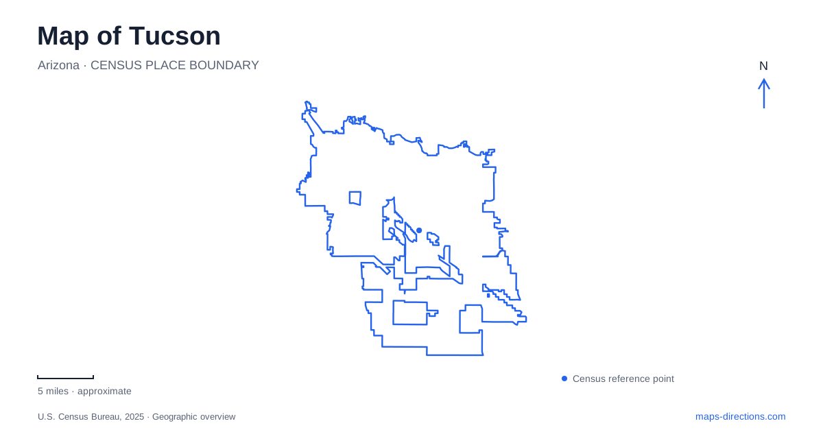
Street tiles load from OpenStreetMap when opened. The blue line shows the 2025 Census boundary.
- State
- Arizona
- Population · July 2025
- 548,371
- Land area
- 242.9 sq mi
- Water area
- 0.3 sq mi
Tucson needs more than one map frame. The downtown and university corridor supports a connected sequence of urban destinations, while river paths extend through the wider metropolitan area and desert park visits lead toward different sides of the city. A visitor can easily mistake these overlapping networks for one compact sightseeing route. Start by deciding whether the trip is an urban visit, a trail outing or an approach to a particular park district. Each uses different connections, and the correct destination name matters more than a broad central marker.
Use the streetcar districts to organize an urban visit
Sun Link's operator identifies five connected districts: Mercado San Agustín, Downtown, Fourth Avenue, Main Gate Square and the University of Arizona. This sequence supplies a useful geographic structure for a central visit. It distinguishes the Mercado area from the downtown blocks, then follows a different urban setting through Fourth Avenue toward the university. The names describe connected districts, not interchangeable labels for a single stop.
Within downtown Tucson, keep a particular venue or intersection attached to the district name. A station can bring a passenger into the right area without placing them at the exact entrance of a museum, restaurant or campus building. For a trip combining several districts, use the streetcar diagram to understand their order, then inspect the small street area around each destination. That is more practical than trying to make one general downtown parking pin serve every part of the corridor.
Campus and visitor parking are separate decisions
The city's parking information treats the greater downtown area, Fourth Avenue, Main Gate Square, the Mercado District and the university surroundings as related but distinct visitor areas. That distinction is useful even before choosing a transport mode. Parking near a first appointment can make sense for one itinerary, while beginning near a different district can make more sense for another. The map should follow the actual sequence of destinations rather than a generic notion of where visitors usually start.
A university visit also needs the building or event location, not just the campus name. Pair that destination with the intended garage, transit stop or walking approach. A campus map answers the final question more precisely than the streetcar's regional-looking diagram, because it can distinguish individual buildings and entrances. Keep the arrival point and the ultimate destination as separate entries until their connection is clear.
River paths form a wider network than the streetcar
Pima County's Loop system connects paths associated with the Santa Cruz, Rillito, Cañada del Oro and Pantano corridors, together with Julian Wash and the Harrison Road Greenway. These names provide a different set of orientation lines from the central streetcar districts. A ride beside one watercourse may be part of the same wider system as another path without being a short connection from the current starting point.
Select a named access location and the intended branch before heading out. The county's map distinguishes the path network and its connections across several jurisdictions. It should be read as a trail map, rather than as a road route with the same endpoints. A bridge, crossing or signed connection matters more than the apparent proximity of two parallel paths. If a trip combines an urban stop with a longer ride, establish where the transition between the street network and the trail actually occurs.
Saguaro has two geographically separate districts
Saguaro National Park is divided into an eastern Rincon Mountain District and a western Tucson Mountain District. The National Park Service explicitly warns that map searches can confuse the two and recommends entering the physical address. Its published eastern address is 3693 South Old Spanish Trail; the western district uses 2700 North Kinney Road. Those are different approaches on opposite sides of the urban area, not two entrances clustered around one visitor complex.
Keep the district name with every reservation, meeting point or planned trailhead. A general national-park label leaves a major geographic decision unresolved. The appropriate arrival road depends on which district and facility are intended. Verify that information before leaving the urban corridor rather than discovering at the end of the drive that the selected map pin represented the other side of the park.
Match the outer approach to the selected park visit
From central Tucson, the western park approach described by the National Park Service can involve Speedway Boulevard and Gates Pass, while the eastern instructions refer to Broadway, Freeman Road and Old Spanish Trail. These names help explain why a park excursion needs its own regional map. The trip extends beyond the compact sequence represented by the downtown streetcar districts and cannot be planned simply by continuing that urban route.
The park's directions also contain vehicle-related restrictions and cautions for some approaches. Check the current official instructions for the actual vehicle and destination instead of assuming that the most direct-looking line is suitable. A map of Tucson is most useful when these separate systems remain legible: the connected urban districts, the metropolitan path network, and the two distinct desert-park approaches. Choosing the correct system first makes the final local directions much easier to understand.
Map and statistics: U.S. Census Bureau, 2025 Gazetteer, January 2025 generalized place boundaries and Vintage 2025 population estimates. Local references: Sun Tran; City of Tucson; Pima County; National Park Service. Article prepared by Maps & Directions.