Map of Troy
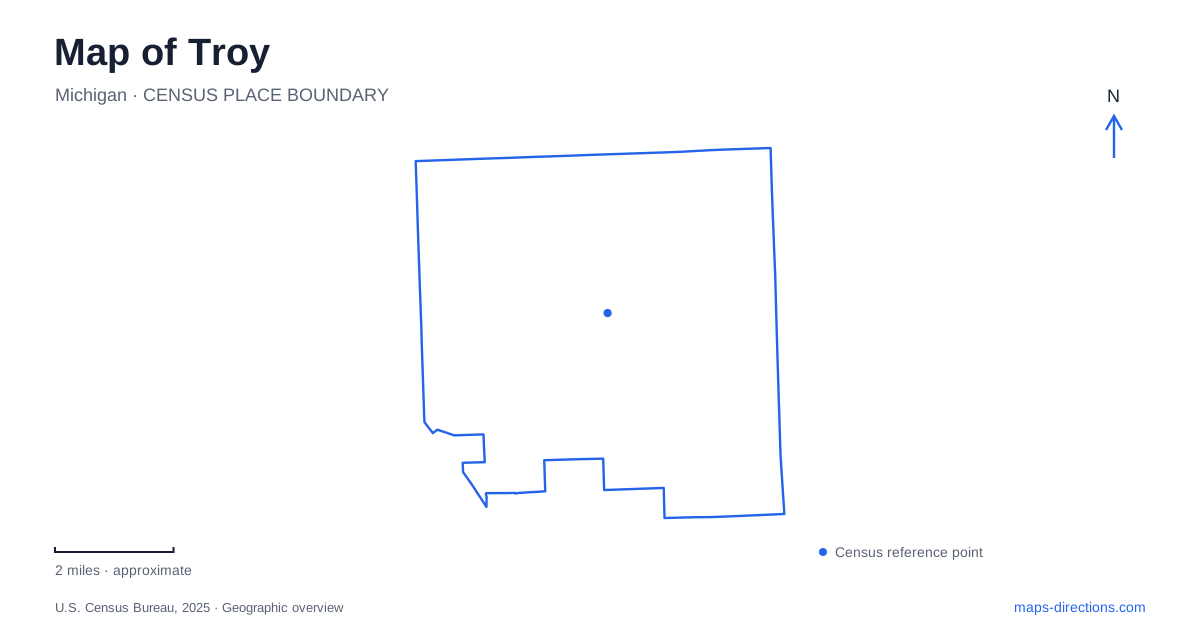
Street tiles load from OpenStreetMap when opened. The blue line shows the 2025 Census boundary.
- State
- Michigan
- Population · July 2025
- 88,733
- Land area
- 33.4 sq mi
- Water area
- 0.2 sq mi
Troy's broad roads and commercial centers can make its earlier landscape difficult to picture. A closer reading reveals older crossroads, relocated farm-era buildings and a nature preserve around the headwaters of the Rouge River. The city has several distinct centers of activity rather than one traditional downtown containing every civic and commercial destination. Livernois Road, Wattles Road, Coolidge Highway and Big Beaver Road provide a useful framework for locating those different settings.
A preserved village assembled over time
The historic village stands at 60 West Wattles Road, on the northwestern corner of Wattles and Livernois. Its buildings surround a green and gazebo, creating a compact setting for exploring community life from earlier periods. This is an assembled preservation site: eight historic structures were relocated, two were recreated, and the 1927 Township Hall remains as the visitor center and offices.
The distinction between original setting and preserved structure is especially important here. The buildings tell real local stories, but their arrangement does not reproduce an entire old settlement exactly where it stood. Moving threatened structures was part of the effort to retain evidence of the community's past as surrounding land changed.
Caswell House was the first building moved to the site, arriving in 1968. Its preservation helped establish the pattern for the village's growth. A house that once belonged to one property now contributes to a collection through which visitors can compare domestic, civic and working spaces.
Research changes the dates on the map
The Troy Historical Society's 2024 report describes a study of timber in three of the village's oldest buildings. Tree-ring evidence supported an 1832–33 date for Caswell House and an 1836–37 date for the old church. It also placed the Niles-Barnard House in 1826–27, about a decade earlier than previously believed.
That research adds an unusually concrete lesson about historical interpretation. A building's age is not always a permanently settled fact, even when it has been preserved for years. Physical evidence can refine the story told by documents and local tradition. For a map reader, the museum is therefore more than a collection of old-looking structures: it is a place where the history of the surrounding community continues to be investigated.
A forest and marsh around the Rouge headwaters
Stage Nature Center occupies a 100-acre preserve at 6685 Coolidge Highway. Its trails cross lowland and upland woods, meadows and marshes, with the Rouge River headwaters flowing through the property. This small-scale water landscape contrasts with the wide roads and developed parcels elsewhere in Troy.
The named trails describe different parts of the preserve. Sugar Maple Loop passes through forest, while Blackbird Loop extends through wet and dry woodland and meadow. Bluebird Trail follows the edge between meadow and trees. Fox Trail uses boardwalks through marshland and reaches an observation point over the river bottomlands.
These differences matter more than the total number of miles available. A woodland path, an open meadow edge and a marsh boardwalk provide different ways to encounter habitat within one relatively compact site. The preserve's terrain also shows how a metropolitan watershed begins in small channels and wet areas, not only in the larger river visible farther downstream.
Big Beaver Road and a divided shopping complex
Somerset Collection places substantial retail development on both sides of Big Beaver Road. Its North and South sections are connected by an enclosed skywalk. The bridge is a visible response to the width and importance of the road: movement between the two sides occurs above the traffic corridor rather than requiring the complex to function as one uninterrupted ground-level block.
In Troy, this arrangement illustrates how later commercial development operates at a different scale from the historic village. The mall's large buildings and parking areas occupy broad parcels, while the museum gathers smaller structures around a shared green. Both are recognizable destinations, but they organize movement and space in fundamentally different ways.
Nearby Boulan Park, reached from Crooks Road between Big Beaver and Wattles, offers another large public setting. Its community recreation grounds include playing fields, courts, picnic areas and walking paths. The park's role is primarily active recreation, distinct from the habitat-focused trails at Stage Nature Center.
A contemporary railway arrival point
The transit center at 1201 Doyle Drive opened in 2014. It brings together Amtrak's Wolverine service, local bus connections and other passenger transport. Its glass-walled waiting area belongs to a contemporary station design rather than the preserved nineteenth-century architecture seen in the museum village.
The station adds a regional arrival point to a city often understood mainly through its roads. It also helps place the southwestern part of the municipality within a wider transportation network. Troy's map thus contains several generations of community organization: older crossroads and buildings, protected headwater habitat, major commercial corridors and a modern rail facility. Reading each in its own setting provides a fuller picture of how the city works.
Map and statistics: U.S. Census Bureau, 2025 Gazetteer, January 2025 generalized place boundaries and Vintage 2025 population estimates. Local references: Troy Historic Village; Troy Historical Society; Troy Nature Society; City of Troy; Amtrak Great American Stations. Article prepared by Maps & Directions.