Map of Trenton
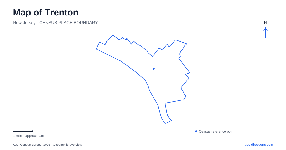
Street tiles load from OpenStreetMap when opened. The blue line shows the 2025 Census boundary.
- State
- New Jersey
- Population · July 2025
- 91,506
- Land area
- 7.6 sq mi
- Water area
- 0.6 sq mi
Trenton's civic and historical places form several distinct clusters. West State Street leads into the capitol complex beside the Delaware River; South Clinton Avenue anchors the major rail interchange; and Cadwalader Park provides a landscaped setting for the city museum. A useful map keeps these relationships visible while allowing closer examination of Barrack Street and the surviving eighteenth-century buildings near the governmental center.
The capitol has more than one front
The State House Annex stands at 145 West State Street. Public tours use the Welcome Center on the south side of the complex, approached from Capitol Plaza or the sidewalks off Barrack Street. Other visitors may use the complex entrance on West State Street. That arrangement reflects a group of connected governmental buildings and public spaces, rather than a freestanding monument approached only from its street frontage.
The Annex now contains legislative offices and committee rooms, but originally accommodated the State Museum, State Library, and judicial offices. Its sculpted bronze doors recall those earlier functions. Within the larger complex, the restored legislative chambers and rotunda give a tour its architectural focus, while active offices and hearing rooms continue the working life of state government.
The plaza offers a different form of interpretation. The artwork Confluence includes an engraved historical map, a steel canopy associated with a seasonal water sculpture, and stone obelisks representing Liberty and Prosperity. Looking at the historical map while standing in the modern complex makes the changing shape of the capital part of the visit.
The state provides accessibility guides for individual buildings and types of visits. For a Trenton government appointment, these guides are particularly useful because parking, screening, and interior routes depend on which part of the complex is being used.
Barrack Street and an older military landscape
The Old Barracks Museum is at 101 Barrack Street, close to the capitol's tour approach. Constructed in 1758 as winter quarters for British troops during the French and Indian War, the building later served both British and American purposes during the Revolution. Its history therefore predates the familiar image of the capital as a place of legislative business.
In 1777, it became an army hospital where Dr. Bodo Otto supervised smallpox inoculations. British prisoners were also held in the Officers' House, and Continental military companies were raised here. These changing uses give the barracks a story of housing, imprisonment, recruitment, and medicine alongside its association with the Revolutionary campaign.
The William Trent House, at 15 Market Street, provides another early reference point. Built in 1719, it recalls the landowner whose mills along Assunpink Creek produced flour, lumber, and cloth. The house and the barracks interpret different kinds of eighteenth-century activity, even though both now appear among the modern city's historical destinations.
South Clinton Avenue and the rail interchange
Trenton Transit Center is at 72 South Clinton Avenue. NJ TRANSIT, Amtrak, and SEPTA services meet here, while the River LINE has its own nearby platforms at 105 South Clinton Avenue. The distinction matters when transferring: a shared interchange does not mean every service departs from the same mainline platform.
The River LINE travels south toward Camden, with local stops at Hamilton Avenue and Cass Street before continuing through communities along the Delaware. The Northeast Corridor offers a different regional axis. A rail map consequently explains the city as both a destination and a transfer point between services with different routes and station arrangements.
For a walk toward the capitol, the State House tour directions connect South Clinton Avenue with East State Street and the westward continuation toward the complex. That street sequence joins the transport hub with the governmental district without making the station itself part of the capitol grounds.
Ellarslie within Cadwalader Park
The Trenton City Museum occupies Ellarslie Mansion in Cadwalader Park. The mansion was built in 1848 in the Italianate style. The surrounding 105-acre park was designed by the Olmsted firm under Frederick Law Olmsted Sr.'s direction, placing the older residence within a larger public landscape.
The museum advises using 299 Parkside Avenue for navigation, entering the park there, and following signs toward the mansion. It provides accessible parking, a stair-free side entrance, and an elevator serving the building's levels. Those details connect the park road system with the museum's interior access.
Art exhibitions and historical collections give this part of Trenton a different emphasis from the capitol and military sites. The setting also changes the visitor's movement: a park approach leads to a former residence, whereas West State Street presents governmental architecture along an urban corridor. Recognizing that contrast helps organize a visit around places with distinct histories and surroundings.
Map and statistics: U.S. Census Bureau, 2025 Gazetteer, January 2025 generalized place boundaries and Vintage 2025 population estimates. Local references: New Jersey Office of Legislative Services; New Jersey Treasury; Old Barracks Museum; Trent House Association; NJ TRANSIT; New Jersey Historic Trust; Trenton City Museum. Article prepared by Maps & Directions.