Map of Tracy
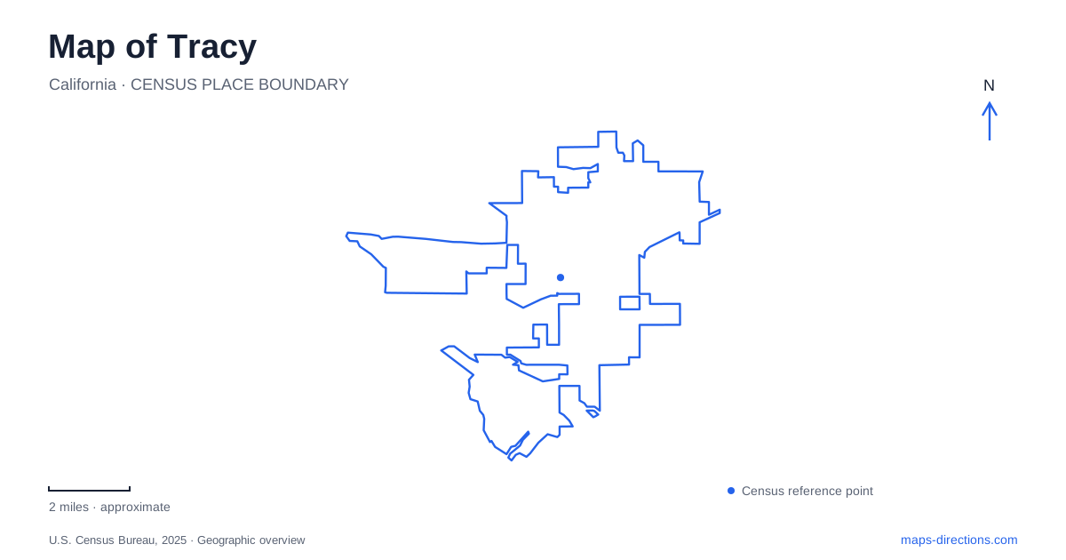
Street tiles load from OpenStreetMap when opened. The blue line shows the 2025 Census boundary.
- State
- California
- Population · July 2025
- 101,901
- Land area
- 26.3 sq mi
- Water area
- 0.1 sq mi
Tracy's downtown makes more sense when the railway is treated as the reason for its location rather than as a line added to a street map. Rail junctions, a former yard, and the movement of an earlier settlement helped establish the town. Today, Central Avenue's arts buildings and Sixth Street's transit facilities occupy that historic center, while the commuter-rail station and major sports fields sit farther away. Those different locations reveal how the city has expanded beyond its original railroad focus.
The Bowtie and the settlement at Ellis
The city's downtown planning history identifies Ellis as a coaling station west of the present center, between Corral Hollow Road and Lammers Road along old Schulte Road. It served the railway near the foot of the Altamont Hills. The later settlement developed at the junction of rail lines, a location remembered through the name Bowtie.
The Bowtie area encompasses the former Southern Pacific yard and additional surrounding land. Municipal planning documents describe its later use for rail welding, followed by removal of much of the railway infrastructure in the 1980s. Its unusual footprint therefore records a working industrial landscape, even where tracks and buildings no longer survive.
This history helps explain the contrast between the regular downtown blocks and the broader former railway land nearby. Tracy grew around transportation functions that needed sidings, storage, and working space. The town's incorporation in 1910 and the establishment of an irrigation district in 1915 added another dimension: the railroad center also became a service point for an agricultural region.
Central Avenue's collection of arts buildings
The Grand Theatre Center for the Arts occupies the Central Avenue and Seventh Street area, with its principal address at 715 North Central Avenue. The original theater opened in August 1923, designed by Albert W. Cornelius for entrepreneur John C. Droge. It began with vaudeville and later accommodated talking pictures, giving the building a history that spans several forms of entertainment.
The modern arts center incorporates more than an auditorium. Former hotel and commercial spaces associated with Droge now support galleries and arts education. The Shamrock and American hotels, built in 1906 and 1909, became part of this larger cultural setting. The renovated center opened in September 2007.
That reuse is visible at the scale of a city block. A performance venue, exhibition spaces, and classrooms occupy buildings with different original functions. Central Avenue consequently offers a useful example of how an older commercial district can retain its street pattern while changing the activities inside it. The Grand's role is both architectural and geographic: it anchors the arts portion of the downtown walk.
Adam Street's former post office
The historical museum at 1141 Adam Street occupies another reused civic building. Constructed as a post office in 1937, it became the Joe Wilson Recreation Center in 1967 before the museum moved there in 2003. Its sequence of uses connects postal service, recreation, and historical interpretation in one address.
The West Side Pioneer Association operates the museum, which interprets the surrounding northern San Joaquin Valley as well as the city. That wider scope is relevant to the map: the story includes farms, ranches, and smaller communities beyond the downtown blocks. The museum provides context for the relationship between a railway town and the productive countryside around it.
Downtown transit and the commuter railway
The downtown transit facility uses 50 East Sixth Street, close to Central Avenue and Front Street Plaza. The ACE commuter-rail station is elsewhere, at 4800 South Tracy Boulevard. The regional transportation agency lists it as a separate mobility-hub location. These two addresses should remain distinct when combining a downtown visit with a train journey.
The distinction reflects two scales of transportation. Sixth Street belongs to the central street grid and its civic and cultural destinations. ACE connects the area with the Altamont corridor and cities toward the Bay Area. A route can include both, but the downtown station building is not the commuter-train boarding point merely because the historic center grew around railways.
Legacy Fields on the north side
Legacy Fields Sports Complex uses 4901 North Tracy Boulevard. Its north designation is especially useful when compared with the southern rail-station address. The city lists a 72.2-acre park with ball fields, illuminated soccer facilities, picnic tables, and shade structures. Its scale supports tournament activity and organized sports rather than the short-block walking pattern of downtown.
A map of Tracy can therefore be organized around three clear settings: the historic center at Central and Sixth, the southern commuter station, and the northern sports complex. The former railway yard, reused theater buildings, and museum add depth to that framework, showing how the city's present destinations grew from older transportation and community functions.
Map and statistics: U.S. Census Bureau, 2025 Gazetteer, January 2025 generalized place boundaries and Vintage 2025 population estimates. Local references: City of Tracy; Grand Theatre Center for the Arts; West Side Pioneer Association; San Joaquin Council of Governments; ACE. Article prepared by Maps & Directions.