Map of Torrance
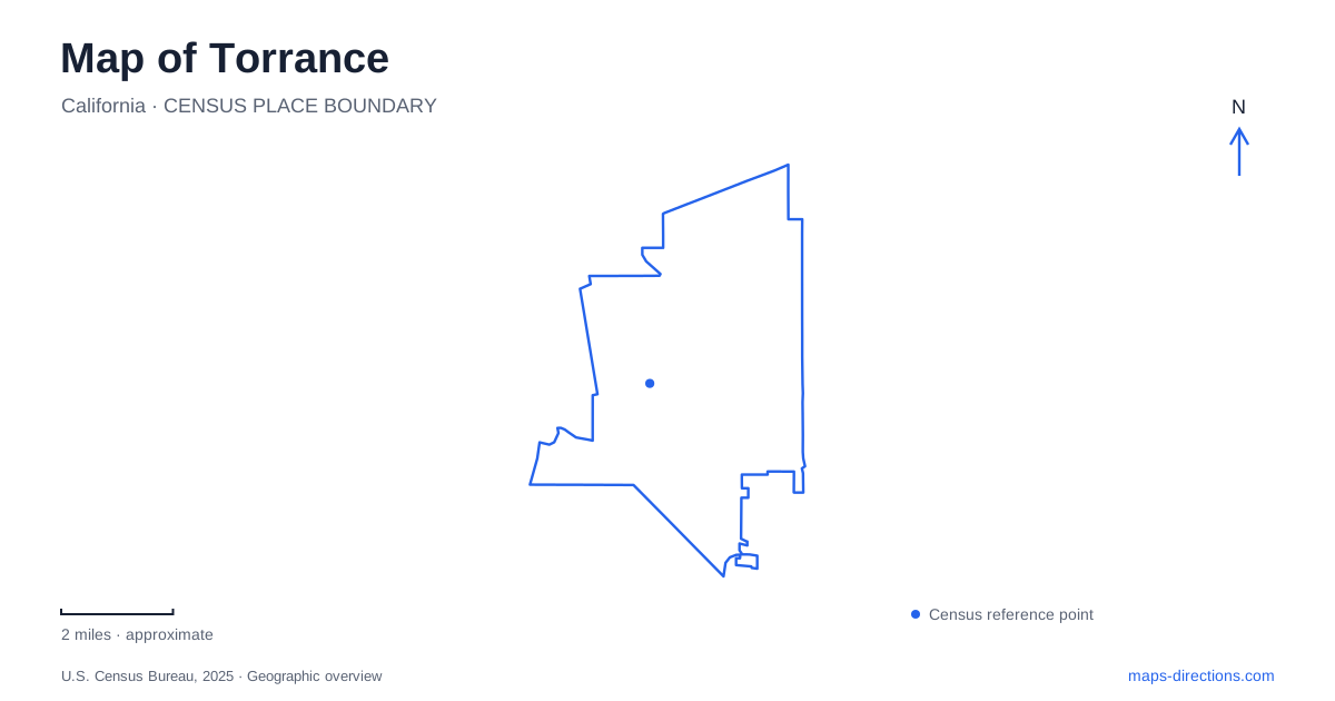
Street tiles load from OpenStreetMap when opened. The blue line shows the 2025 Census boundary.
- State
- California
- Population · July 2025
- 138,391
- Land area
- 20.5 sq mi
- Water area
- 4.1 sq mi
Torrance is easier to understand as several distinct destinations than as a single center. The historic commercial district, a surviving seasonal wetland and the Pacific beach all belong in a city overview, but they require different scales of map. An outline identifies the municipality; it cannot tell you which entrance to use at a preserve or where the older business streets converge. Begin with the destination's actual street, then use the surrounding boulevards to place it in the larger South Bay road network.
The original commercial core
The city's historic-preservation material identifies downtown as the original commercial core of the community founded in 1912. El Prado and Sartori Avenues provide a particularly useful reference intersection: the municipality identifies both the El Prado Apartments and Newberry Building there. This gives the downtown label a concrete location. A search for an individual building or business in this district is more useful than assuming that any large retail destination represents the historic center.
The municipal wayfinding plan also groups Cabrillo, Cravens, Post and Sartori around the downtown district. These named intersections help distinguish a local walking map from the broader boulevard map. If an appointment is on El Prado, retain that street name in the destination rather than replacing it with a general downtown pin. A district label can sit in an open space or near a prominent intersection without identifying the correct doorway. The older street pattern deserves a closer look before the final approach.
Major roads as orientation lines
On a Torrance map, Crenshaw Boulevard, Western Avenue, Artesia Boulevard and Del Amo Boulevard offer useful large-scale reference lines. They appear in the city's facilities and wayfinding material, alongside the San Diego Freeway. Their value is orientation: recognizing the corridor nearest an address helps separate the regional approach from the final neighborhood movement. A road's prominence does not mean every turn or driveway is available from both directions.
Del Amo Boulevard and Plaza del Amo are different road names. This is an especially important distinction when searching for the wetland or tracing a downtown address. Keeping the complete name in a saved destination avoids treating two similar labels as interchangeable. Likewise, a boulevard intersection is a reference point rather than a substitute for the property's entrance. At a detailed zoom, follow the address to the appropriate block before deciding where the trip actually ends.
A marsh with two sides of the street
Madrona Marsh gives Torrance a distinctive inland landmark. The city describes it as a vernal wetland, with seasonal water rather than a permanently full lake. A blue or green shape on a map therefore should not be read as a promise about the water visible on a particular visit. Its setting is tightly framed by streets: county documentation places the preserve west of Maple Avenue, east of Madrona Avenue, north of Sepulveda Boulevard and south of Plaza del Amo.
There is also an important arrival distinction. The partner organization identifies the nature center and parking on the north side of Plaza del Amo, with the preserve entrance across the street. Searching only for the middle of the green area misses that relationship. For an educational visit, save the nature center as the arrival point; for a walk, still establish the authorized entrance. A mapped wetland boundary does not imply that every surrounding edge provides public entry.
Reaching the Pacific edge
Torrance Beach is a separate destination from the historic core and marsh. Los Angeles County lists its address on Paseo De La Playa. The city's wayfinding material likewise identifies beach reference points at that road's intersections with Via Riviera and Paseo De La Concha, the latter associated with Miramar Park. Those street names are more useful for the final approach than a broad beach label placed out on the sand.
A coastal map needs to show both the road and the landward edge of the beach. A marker on the shoreline may accurately identify the destination while remaining unsuitable as a driving endpoint. Choose an actual access or parking location, then consider the remaining pedestrian connection separately. This distinction also matters when meeting someone: agreeing on the beach alone leaves open which access point each person intends to use.
Keep separate destinations separate
A useful Torrance plan therefore retains three different kinds of reference: downtown intersections for the older commercial streets, the two-sided Plaza del Amo arrangement for the preserve, and Paseo De La Playa for the coast. These are complementary pieces of geography rather than stops that must be combined into one outing. Group destinations only after checking their actual positions. This page explains those relationships; it does not supply current traffic, parking availability or a guarantee that a mapped route is open.
Map and statistics: U.S. Census Bureau, 2025 Gazetteer, January 2025 generalized place boundaries and Vintage 2025 population estimates. Local references: City of Torrance; Los Angeles County; Friends of Madrona Marsh. Article prepared by Maps & Directions.