Map of Tinley Park
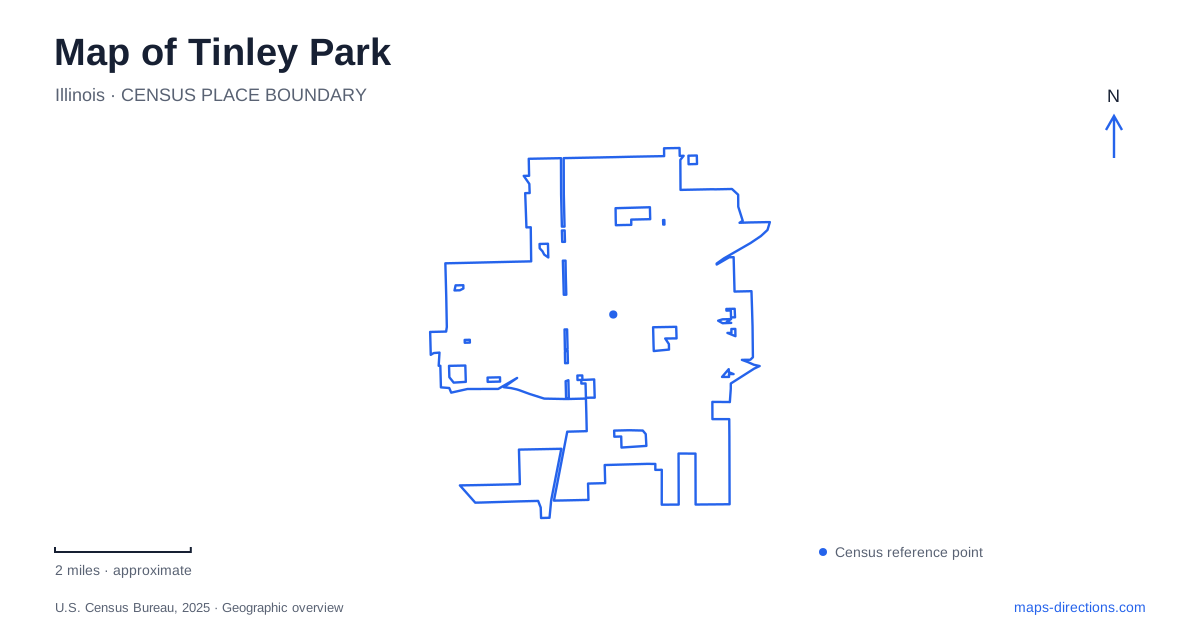
Street tiles load from OpenStreetMap when opened. The blue line shows the 2025 Census boundary.
- State
- Illinois
- Population · July 2025
- 55,140
- Land area
- 16.2 sq mi
- Water area
- 0.0 sq mi
Tinley Park combines a railway downtown with larger recreation and event destinations spread across a numbered street grid. Oak Park Avenue identifies the historic center, while 80th Avenue provides a separate western reference. Interstate 80 serves the southern regional approach, and Harlem Avenue and LaGrange Road connect that highway with local streets. These names are more useful than a single central map marker because the village's gallery, library, water park, and convention facilities occupy several different districts.
Oak Park Avenue and the railway center
The village's planning documents distinguish two commuter stations on the historic Rock Island railway corridor. The Oak Park Avenue station serves the downtown area, while the 80th Avenue station serves another part of the community farther west. Choosing between them is therefore a geographic decision as well as a rail-service decision. The station associated with the older center is the relevant reference for exploring the Oak Park Avenue district.
Harmony Square adds a public gathering place at 6700 North Street. The tourism office describes a plaza used for concerts and seasonal activities, including a summer water feature and winter synthetic skating. This is a year-round civic space with changing programming, rather than a single-purpose entertainment building. On a neighborhood map, North Street and Oak Park Avenue locate the downtown setting more clearly than the name of an individual performance or festival.
A mayor's house with a new use
The Vogt Visual Arts Center provides a different scale of cultural destination in Tinley Park. It occupies the historic home of Henry Vogt, the village's first mayor, at 17420 South 67th Court. The park district established the arts center in 1996. Its gallery presents rotating artwork, and classes include media such as watercolor, stained glass, and oil painting.
The house setting is part of the attraction. Instead of entering a large modern museum complex, visitors encounter a historic domestic building adapted for exhibitions and teaching. Its address on 67th Court also places it within the finer network of local streets around the older district. This is a useful example of why the avenue name alone is insufficient for cultural visits: a relatively small turn into the surrounding neighborhood leads to a distinctive surviving building and a separate public program.
The western recreation cluster
West of the historic center, 171st Street brings together several recreation destinations. The Tony Bettenhausen Recreation Center stands at 8125 West 171st Street, with White Water Canyon at 8221. Farther north along 80th Avenue, Tinley Junction miniature golf is addressed at 16801 South 80th Avenue. Together these locations establish a recreation pattern around the western street grid, separate from the downtown arts and event spaces.
White Water Canyon includes a main pool, slides, and a lazy river. Its outdoor water facilities operate seasonally, with their own admission and activity calendar. That seasonality matters when using a saved summer itinerary. A map can still correctly show the property even when swimming is unavailable. The recreation center and other nearby facilities each have their own programs, so the shared neighborhood does not imply identical operating schedules.
Following the library's move
The public library in Tinley Park is at 7851 Timber Drive. Its current building opened in 2004, following earlier locations on 171st Street and 71st Avenue. The library's own history begins with a temporary building in 1956 and a small volunteer-supported collection, then traces expansion into larger premises. These moves provide a compact account of how a growing suburban community redistributed public services.
For local history research, the older addresses are meaningful; for a present visit, Timber Drive is the relevant destination. This distinction also explains why a longtime resident's recollection may point toward a different neighborhood. The current library belongs to the broader western network of numbered avenues rather than the small cluster of cultural destinations around the historic rail center. Plotting it separately makes a combined library and downtown trip easier to understand.
Regional events and local streets
The convention center in Tinley Park stands at 18451 Convention Center Drive, close to Interstate 80. Its setting serves visitors arriving from the regional highway network, contrasting with the smaller downtown streets and the park district's recreation addresses. A convention appointment should therefore be organized around Convention Center Drive, while a gallery visit belongs to 67th Court and a downtown event to North Street.
Reading a map of Tinley Park through these named places reveals several complementary centers. The railway explains the older downtown, the Vogt house preserves a civic connection within its surrounding neighborhood, and later library and recreation facilities extend activity westward. The convention destination adds a highway-facing district. Keeping those relationships visible turns a list of attractions into a practical understanding of how the village is arranged.
Map and statistics: U.S. Census Bureau, 2025 Gazetteer, January 2025 generalized place boundaries and Vintage 2025 population estimates. Local references: Village of Tinley Park; Visit Tinley Park; Tinley Park-Park District; Tinley Park Public Library; Tinley Park Convention Center. Article prepared by Maps & Directions.