Map of Thousand Oaks
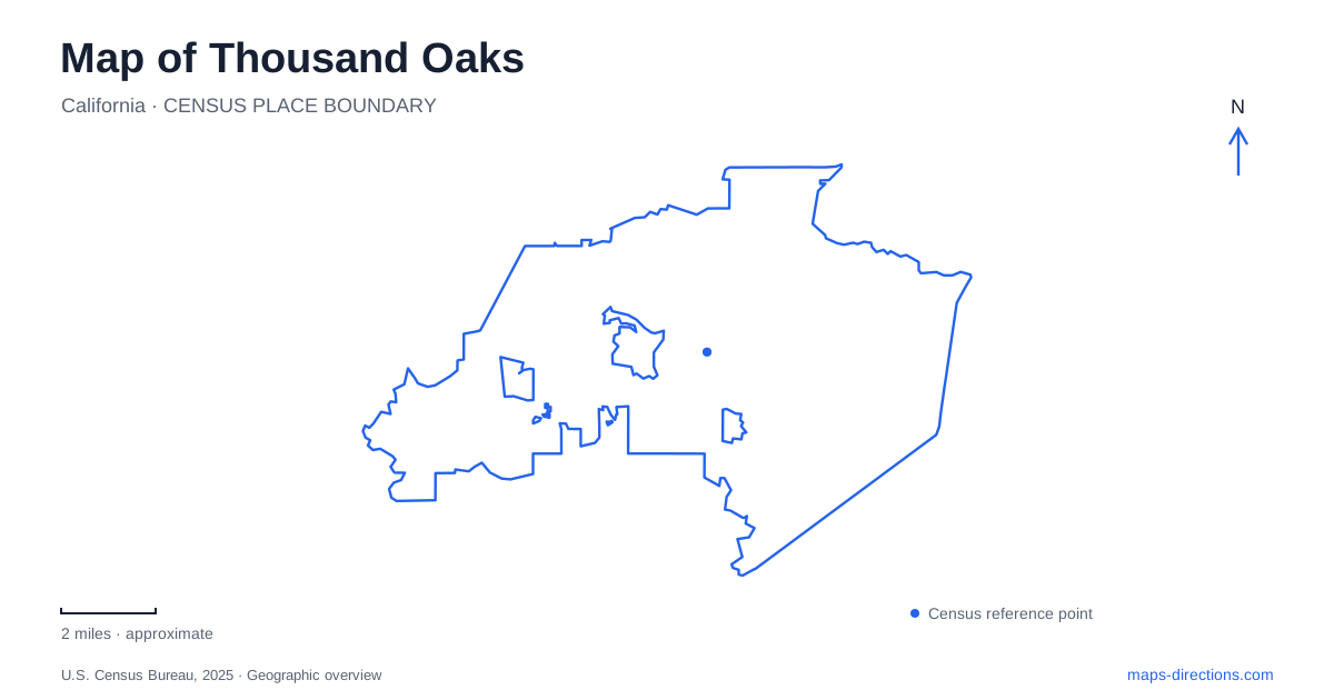
Street tiles load from OpenStreetMap when opened. The blue line shows the 2025 Census boundary.
- State
- California
- Population · July 2025
- 122,230
- Land area
- 55.3 sq mi
- Water area
- 0.1 sq mi
Thousand Oaks combines civic destinations, neighborhood recreation, and access to extensive open space. The useful map is therefore more detailed than a freeway exit followed by a citywide search. The Civic Arts Plaza, the Conejo Creek parks, and the Newbury Park trail approaches each belong to a different local setting. Looking first for the road that organizes the destination gives these places a clearer relationship, especially when several facilities share the word Conejo or when a recreation listing uses Newbury Park in its address.
The civic district beside Highway 101
The Civic Arts Plaza stands at 2100 Thousand Oaks Boulevard. City planning information frames the surrounding downtown project area between the boulevard on the north, Highway 101 on the south, Conejo School Road on the east, and the Oakwood Drive terminus on the west. These boundaries make a useful small map window for understanding the civic district.
The city is pursuing a downtown redevelopment project here, but the planning materials describe proposed buildings and public spaces. A rendering of that project should not be mistaken for a map of facilities already available to visit. For an existing appointment or performance, use the named civic or arts destination and its current visitor information. For understanding the area's future plans, the project boundary provides the appropriate scale.
This distinction matters because a search for downtown Thousand Oaks may bring together established civic buildings and proposed development. Both concern the same part of the city, yet they answer different questions. The boulevard and the nearby freeway are stable geographic references; a proposed hotel, plaza, or new street belongs to a development plan until its status is confirmed.
North and South mean different Conejo Creek parks
East Janss Road anchors two recreation destinations with very similar names. Conejo Creek North Park is at 1379 East Janss Road, while Conejo Creek South Park uses 1300 East Janss Road. Retaining the final word in each name is essential when locating an event or arranging to meet someone.
The North park contains two ponds connected by a recirculating stream and shares its setting with the library, Teen Center, and Goebel Adult Center. This gives it a combination of landscaped recreation and community services. A library visit and a picnic may concern the same general park surroundings, though they still refer to different facilities within that setting.
The South park is organized around sports turf and fields. The recreation district places it behind the school district's administrative offices and identifies soccer and baseball facilities there. A map search that stops at Conejo Creek without distinguishing North from South can therefore confuse a community gathering around the ponds with a sports fixture across the road.
For a Thousand Oaks itinerary involving Janss Road, identify the activity first and then choose the corresponding park. The shared road makes the two facilities easy to compare, while their different layouts explain why one broad park marker is insufficient. The useful detail is not merely that recreation exists nearby, but whether the destination is a pond landscape, a community building, or a particular playing field.
Newbury Park and the mountain-facing approaches
The recreation district's directory uses Newbury Park addresses for Borchard Community Park on Reino Road and Dos Vientos Community Park on Borchard Road. These names provide practical local references when searching the wider area. They also help separate developed community parks from the open-space destinations reached farther along roads such as Lynn and Potrero.
Rancho Sierra Vista and Satwiwa have a main entrance at Lynn Road and Via Goleta. The National Park Service also identifies the Wendy trailhead at Wendy Drive and Potrero Road. These are distinct approaches to a landscape where ranching history and Chumash cultural heritage overlap. The Satwiwa Native American Indian Culture Center is a named destination within that setting, rather than another name for the roadside trailhead.
The park's trails do not all serve the same users. The Satwiwa Loop is for hikers, while other designated routes accommodate bicycles or horses. Its trail map separates these categories and shows connections toward the larger mountain landscape. That information becomes important when an outing extends beyond the immediate entrance area: a line through open space does not by itself establish the permitted travel mode.
A map of Thousand Oaks is most useful when it preserves these different scales. The civic district calls for attention to a few streets and individual buildings. Janss Road calls for the correct park and facility. The mountain-facing area calls for an entrance, a named trail, and an understanding of the landscape beyond it. Matching the map scale to the outing reveals the variety that a single city marker cannot show.
Map and statistics: U.S. Census Bureau, 2025 Gazetteer, January 2025 generalized place boundaries and Vintage 2025 population estimates. Local references: City of Thousand Oaks; Conejo Recreation and Park District; National Park Service. Article prepared by Maps & Directions.