Map of Thornton
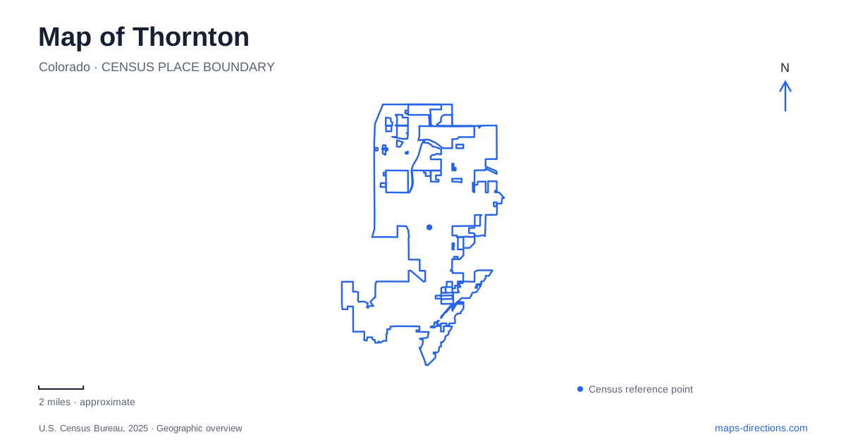
Street tiles load from OpenStreetMap when opened. The blue line shows the 2025 Census boundary.
- State
- Colorado
- Population · July 2025
- 147,766
- Land area
- 36.7 sq mi
- Water area
- 2.0 sq mi
Thornton's map contains an older railway village, modern commuter stations, large recreation facilities and natural drainage corridors. Eastlake is especially useful for understanding how those layers coexist: its small-lot street pattern predates the surrounding city's growth, while a modern rail terminus gives it a renewed regional role. Elsewhere, Colorado Boulevard and the numbered avenues organize developed areas, and Big Dry Creek follows a route shaped by terrain rather than by the street grid.
Eastlake retains a village-scale street pattern
The city's planning documents describe Eastlake as an early twentieth-century railway settlement incorporated into the municipality in 1990. They identify its traditional main street and small lots as important features of the district. This distinguishes the historic village from a neighborhood laid out entirely around larger modern roads.
Lake Avenue, First Street and York Avenue appear in the city's streetscape planning for the area. Those names provide useful references when moving from a broad regional map to the actual village blocks. They also help separate the existing settlement from illustrations of proposed improvements. A conceptual drawing describes a possible future street treatment, not proof that every depicted feature is already built.
Thornton's Eastlake landscape includes the Farmers Co-Operative Grain Elevator at 126th Avenue and Claude Court. The city dates it to 1920 and identifies it as a historic landmark near the rail station. Its form reflects agricultural storage and shipment, giving the present commuter setting a visible connection with an earlier railway economy.
The N Line makes numbered avenues meaningful landmarks
RTD's current N Line timetable lists Eastlake & 124th, Northglenn & 112th, Thornton Crossroads & 104th and Original Thornton & 88th among the stations between the northern terminus and Denver Union Station. These names describe different places along the corridor. They are not alternative labels for a single central-city station.
The numbers are therefore useful geographic information. A destination associated with 124th Avenue belongs to a different part of the network from one near 88th Avenue. Reading the full station name retains both the locality and its position along the line, which is more informative than shortening every local stop to the municipality's name.
The route also passes through neighboring communities. Northglenn's appearance on the same timetable is a reminder that commuter rail follows a regional corridor rather than remaining within one municipal boundary. The station sequence is useful for orientation even when the eventual visit includes another mode of travel. Timetables and service notices determine the actual journey; the map explains how the locations relate.
Carpenter Park and the recreation center form one campus
Carpenter Recreation Center is listed at 11151 Colorado Boulevard. The adjoining Carpenter Park uses 3498 East 112th Avenue, and the city places the park directly behind the recreation building. These addresses identify related parts of a common setting from different road frontages.
The indoor center contains facilities such as a gymnasium, swimming pool, studios and a walking track. Outside, the park directory identifies the Harley Brown Amphitheater, courts, picnic areas, trails and a lake with a boathouse. That combination explains why the site occupies a larger area than a single building marker suggests.
The lake has a particular recreation role. The city lists seasonal boat rentals and a carousel while prohibiting private boats and swimming in the park lake. The presence of blue water on a map thus does not make this an unrestricted boating or swimming destination. Its managed activities are part of the design of the larger recreation campus.
Big Dry Creek follows a different organizing line
Big Dry Creek shapes the northwestern and central open-space landscape. The city's geographic description follows it from the I-25 area near 132nd Avenue toward land northeast of 168th Avenue and east of Colorado Boulevard. Its floodplain and habitat corridor introduce a different pattern from the numbered streets.
Open land along this creek has been retained for natural habitat and passive recreation. That purpose helps explain why large green areas may contain fewer intensive sports facilities than Carpenter Park. The creek corridor is significant for water movement, vegetation and wildlife as well as for people using nearby paths.
A map of Thornton becomes more revealing when these distinct patterns stay visible. Eastlake supplies the older village and grain-storage history, the N Line provides a regional sequence of stations, Carpenter combines indoor and outdoor recreation, and Big Dry Creek shows how drainage shapes open land. Together they explain the city's varied form without assuming that every neighborhood or green space functions alike.
Map and statistics: U.S. Census Bureau, 2025 Gazetteer, January 2025 generalized place boundaries and Vintage 2025 population estimates. Local references: City of Thornton; Regional Transportation District. Article prepared by Maps & Directions.