Map of The Colony
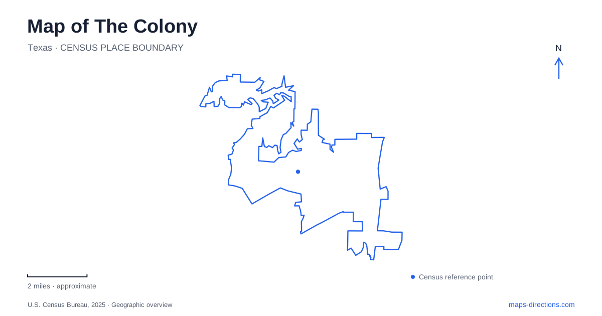
Street tiles load from OpenStreetMap when opened. The blue line shows the 2025 Census boundary.
- State
- Texas
- Population · July 2025
- 46,196
- Land area
- 14.0 sq mi
- Water area
- 2.1 sq mi
The Colony presents two especially clear map identities: a city beside Lewisville Lake and a destination along the Sam Rayburn Tollway. Shoreline parks and nature trails belong to the first; Grandscape's entertainment and shopping district belongs to the second. Residential trail connections add a third layer between major destinations. Understanding those layers prevents a regional map from flattening the city into either a lake resort or a single retail complex.
Stewart Creek Park gives the lakeshore a specific address
Stewart Creek Park is at 3700 Sparks Road on the eastern shore of Lewisville Lake. Its combination of a boat ramp, fishing access, camping, picnic facilities, and a swimming area makes it a substantial lake destination rather than a small viewpoint at the end of a road.
The municipal park map separates the boat ramp and trailer parking from the swimming beach, picnic areas, and camping spaces. That internal arrangement matters because several activities share one park but require different parts of it. A person launching a boat is using the waterfront differently from a family spending time by the beach or a visitor beginning a walk.
This is also a fee-based park. That management distinction belongs alongside its geographic identity: a route to public recreation land does not necessarily imply an unrestricted roadside stop. The Sparks Road address establishes the arrival, while the park's own map explains the activity areas beyond it.
Shoreline routes follow more than a straight water edge
The Colony Shoreline Trail runs between Stewart Creek Park and Ridgepointe Park for about three and a half miles. Its route follows natural land along the lake, with materials selected to limit disturbance to vegetation and habitat. This is a specific named trail, with identifiable ends, rather than a general promise of a path around the entire lake.
The mapped relationship between the two parks offers several ways to understand an outing. A visitor might explore a short section from one end or plan a longer trip along the route. In either case, the endpoints are more useful than the broad label lakeshore, which covers many other places around a large reservoir.
The trail map also shows the route in relation to Stewart Peninsula Golf and nearby streets. This helps explain why following the shore on foot can produce a different path from following the street network. The lake's shape organizes the recreation route, while roads serve the developed land beside it.
The Tribute has its own peninsula experience
The Tribute Shoreline Nature Trail is a separate route, about two and a half miles long, with an overlook at the tip of the peninsula. Its name identifies a different section of the lake landscape from the Stewart Creek-to-Ridgepointe route. Both provide shoreline experiences, but their geography should not be merged into one trail description.
Lebanon Road provides another local reference through The Tribute area, with a trail connection to the shoreline route. The combination of neighborhood access and peninsula overlook suggests an outing organized around that landform. A map of The Colony can make this distinction visible by labeling the two shoreline trails individually rather than displaying a single generic lake-walk marker.
The peninsula setting also changes the character of the view. Reaching its tip is an excursion toward a particular point of land, while the other route is understood through the relationship between two parks. Those are different spatial experiences even before distance or pace is considered.
Austin Ranch belongs to a neighborhood network
The Austin Ranch Trail follows a developed residential and retail setting, connecting the area near Austin Ranch Park with Windhaven Parkway and Plano Parkway. Its concrete path contrasts with the low-impact natural shoreline routes. The city describes this trail as part of a wider network linking neighborhoods and destinations.
For walking or cycling, that distinction is useful. A trail serving neighborhood connections can support an everyday trip as well as exercise, whereas a peninsula trail may be chosen primarily for its lake setting. Both appear as lines on a recreation map, but the surrounding land use gives those lines different purposes.
In The Colony, the neighborhood network therefore deserves attention alongside the better-known waterfront. It explains how the city is experienced between major attractions, rather than only at the ends of a drive.
Grandscape is organized by the tollway corridor
Grandscape sits along the Sam Rayburn Tollway, also identified as State Highway 121, between Plano Parkway and Spring Creek Parkway. The visitor bureau describes a mixed indoor and outdoor district for shopping, dining, and entertainment. This places it in a different geographic framework from the parks reached through lake-side roads.
The district has its own directory and parking map because it contains many individual destinations. Choosing a particular venue establishes a more useful arrival than treating the entire development as a single storefront. An evening there and a morning at Stewart Creek Park can fit into the same day, but they are separate environments with separate local layouts.
A map of The Colony is most useful when it preserves this variety: lake access at Sparks Road, two distinct shoreline routes, residential connections around Austin Ranch, and a major commercial district beside Highway 121. The relationships explain the city more clearly than any one attraction could.
Map and statistics: U.S. Census Bureau, 2025 Gazetteer, January 2025 generalized place boundaries and Vintage 2025 population estimates. Local references: City of The Colony; Visit The Colony. Article prepared by Maps & Directions.