Map of Texas
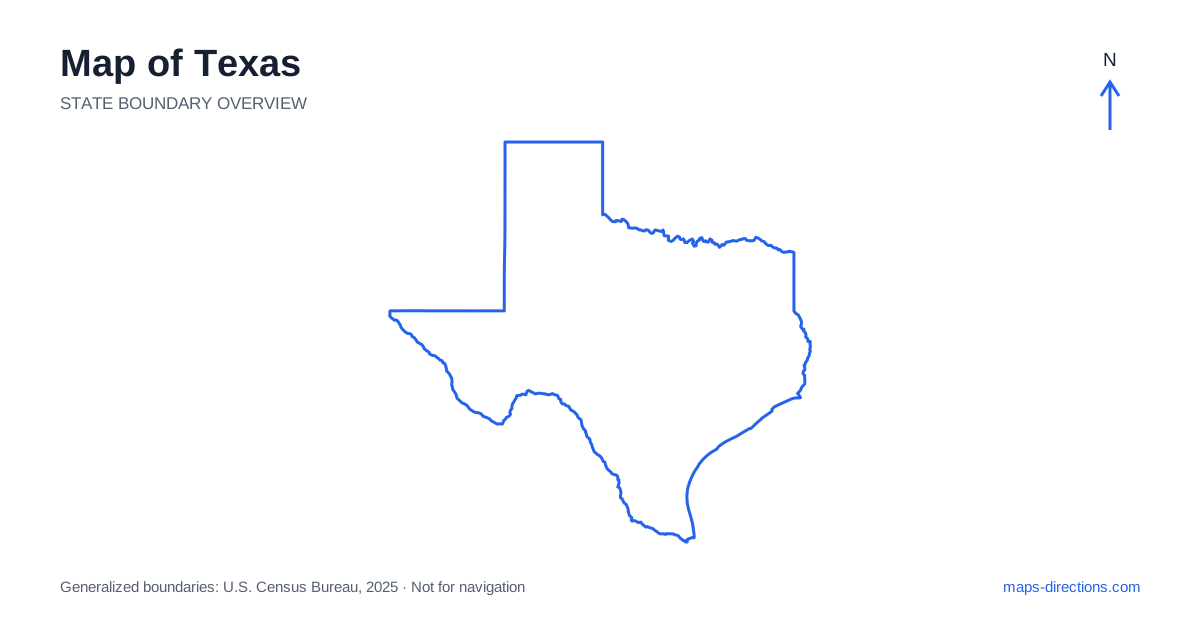
Texas is large enough that its major cities and landscapes need to be treated as separate travel regions. Dallas-Fort Worth anchors the north-central urban area, Austin and San Antonio lie farther south, Houston occupies the southeastern interior, and El Paso sits at the far western end. The Gulf Coast, Panhandle, Hill Country and desert west add very different road patterns around those cities. Start by choosing the region the trip is meant to explore. A statewide overview can make destinations appear related simply because their labels share one large outline.
Use the borders and coast to understand the scale
Texas meets New Mexico on the west, Oklahoma to the north, Arkansas and Louisiana to the east, and Mexico along the Rio Grande boundary. The Gulf lies along the southeastern side. The Panhandle projects northward, while the far west narrows toward El Paso. These features help explain why a central-looking point on the outline is not necessarily a useful base for widely separated destinations.
A border or coastal journey also needs more detail than the broad shape supplies. A river crossing is a particular transport connection, not a line that can be drawn across the water wherever two places appear close. Along the Gulf, bays and barrier islands create separate approaches. Keep the actual town, shore and arrival entrance attached to the destination before selecting a long-distance highway.
Distinguish the major metropolitan regions
Dallas and Fort Worth are separate cities within a large shared metropolitan area, with many communities and arrival districts between and around them. An airport connection, a downtown visit and an outer suburban address can involve very different routes. The regional name is useful for orientation but cannot stand in for the final destination.
Austin is the capital and lies well south of that northern urban area. San Antonio occupies another metropolitan setting farther southwest, while Houston is a separate southeastern region. A plan involving several of these cities should show the transfers explicitly. Selecting a hotel according to a broad city label alone can hide the local travel required to reach a venue, airport or the highway serving the next stage of the trip.
Read the interstate corridors by the cities they serve
A road map of Texas shows Interstate 35 connecting the Laredo, San Antonio, Austin and Dallas-Fort Worth corridors, with separate branches through the northern metropolitan region. Interstate 10 links El Paso with San Antonio, Houston and the eastern border area. Interstate 20 follows a different east-to-west route through the west-central and northern interior.
These lines provide a framework rather than a promise that every major destination fits conveniently into one continuous trip. Interstate 40 crosses the Panhandle near Amarillo, far from the southern city chain. Before adding a stop away from the selected corridor, trace its approach and onward connection. A detour that looks minor when the entire state is visible can be a substantial regional journey in its own right.
Separate the Hill Country, eastern forests and coastal plain
The Hill Country lies west of the central city corridor and has a landscape of ridges, river valleys and smaller towns. Fredericksburg and Kerrville are useful reference points for different parts of the region. A scenic rural route there has a different role from a fast urban transfer, and a property outside a town center needs its exact access road identified.
The eastern region includes wooded landscapes and towns with their own highway connections, while the coastal plain opens toward the Gulf. Houston is inland, so a visit to the city is not the same arrival task as reaching Galveston or another coastal destination. Bays and island approaches matter on the final leg. Choose the actual beach, harbor or accommodation address rather than a generic Gulf Coast pin.
Give the Panhandle and desert west separate itineraries
Western Texas includes broad plains, mountain areas and desert basins, with cities and services spread along particular corridors. El Paso, the Midland-Odessa region and the Big Bend area occupy different parts of that geography. Their shared western setting does not make them neighboring destinations or suitable day trips from one interchangeable base.
The Panhandle around Amarillo is another distinct region, while Big Bend requires a specific park entrance or gateway plan in the far southwest. A pin in the center of a large protected area does not establish a usable road arrival. Identify the intended visitor destination and the road that serves it before joining it to the next overnight stop. The surrounding open space is part of the journey, not empty background that can be ignored in the schedule.
Build a regional plan before attempting a statewide loop
A north-central city visit, a capital-and-Hill Country trip, a Gulf Coast stay, a Panhandle journey and a desert-west itinerary each provide a coherent starting focus. Combining them can be worthwhile, but the map should show the resulting long transfers honestly. Place overnight stops first and let the sequence progress through the regions instead of repeatedly returning to a distant central base.
For a Texas itinerary, pair the statewide outline with regional corridor maps and detailed arrival views. Keep the exact metropolitan district, river crossing, island approach or park entrance attached to every stop. This turns the state's recognizable shape into a practical set of connected journeys and prevents its unusually broad scale from disappearing when the entire route is compressed onto a single screen.