Map of Texas City
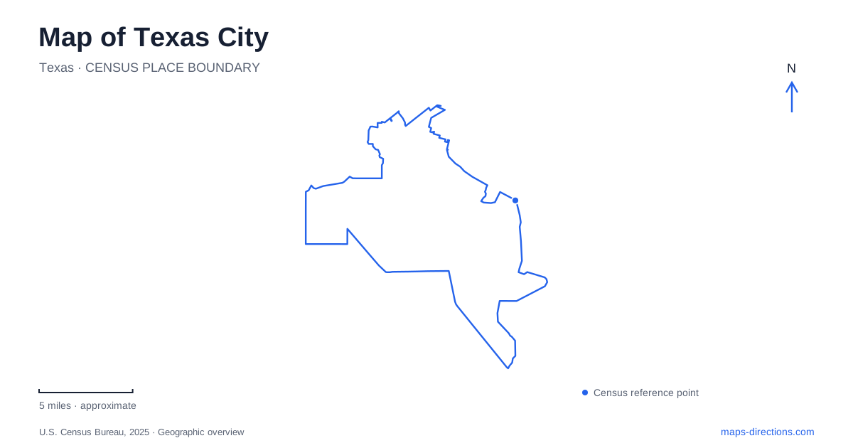
Street tiles load from OpenStreetMap when opened. The blue line shows the 2025 Census boundary.
- State
- Texas
- Population · July 2025
- 59,733
- Land area
- 66.3 sq mi
- Water area
- 120.3 sq mi
Texas City has a shoreline feature so distinctive that it can organize the whole map: a long dike projecting into Galveston Bay beside the shipping channel. Inland, numbered streets and avenues make a very different pattern, with historic Sixth Street, Bay Street Park and the Nessler civic complex supplying useful reference points. Understanding the relationship between the bay edge and that street grid gives a visit more structure than simply following a destination marker.
The dike and the shipping channel
The Texas City Dike extends roughly five miles into the bay, parallel to and north of the channel used by ships reaching the port. Its original purpose was to reduce cross currents and silting in the navigation channel. That engineering history explains the unusually long, narrow shape visible on a map: it is a structure associated with port access, not a natural island or a bridge leading to another community.
For recreation, the dike has boat ramps, picnic facilities and fishing access. Those uses share the same elongated setting but involve different parts of it. A boat launch trip has a specific ramp as its destination, while someone interested in views or fishing may be choosing among several shoreline locations. The distance along the structure matters because reaching its base is only the beginning of an outing farther out over the bay.
Skyline Drive is associated with the levee at the shoreline approach. The city treats its vehicle access as part of the dike entry arrangement, so the levee and dike should not be assumed to have completely separate access conditions. Fees and operating details can change; the enduring geographic distinction is between the landward shoreline, the levee and the long projection into open water.
Bay Street keeps recreation close to shore
Bay Street Park is listed at 800 Bay Street and includes Anchor Park and Rainbow Park. Its grounds combine walking and cycling paths, sports spaces, gardens, birding areas and picnic facilities. The city's historical account describes the park extending north from the dike entrance toward 25th Avenue. It is therefore a shoreline recreation corridor with several parts, rather than one small green square beside the road.
Anchor Park connects this landscape with the 1947 industrial disaster. The anchor from the ship Grandcamp is displayed at the foot of the dike, making a substantial historic object part of the waterfront setting. A map of Texas City can use this location to connect physical geography with local memory: the port, the waterfront recreation grounds and the disaster's history occupy related spaces, although they serve very different purposes today.
The park offers a landward alternative to an outing along the dike. Families interested in a playground or picnic can concentrate on the park grounds, while a visitor focused on the bay may continue to the longer waterfront structure. Keeping those choices distinct prevents the entire shoreline from becoming one undifferentiated destination.
Sixth Street and the numbered grid
The museum at 409 Sixth Street North provides an indoor introduction to Texas City. Its exhibits cover the community's founding, the 1947 disaster and other local history, and include a cannon from the USS Westfield. The building itself formerly housed a J. C. Penney store, giving the museum an additional connection with the commercial past of the historic street.
The address illustrates why both the street number and the directional suffix matter in the central grid. Sixth Street North is not Sixth Avenue North. Numbered streets and numbered avenues appear together, so retaining the full address makes the pattern easier to use. Heritage Square Park, at 109 Third Avenue North, supplies another named reference within that arrangement.
For a history-focused visit, the museum and the waterfront memorial can complement one another. One presents documents and artifacts indoors; the other places an object from the disaster within the coastal setting. The map makes their separate locations clear without suggesting that they are one facility.
Nessler brings civic and recreational uses together
Nessler Park, at 1700 Fifth Avenue North, is a larger inland complex combining parkland with public buildings and recreation facilities. The city's inventory includes City Hall, the public library, Doyle Convention Center, Lowry Fitness Center, aquatic facilities, paths and picnic spaces. This concentration gives the area a role quite different from historic Sixth Street or Bay Street Park.
A visit to Texas City can therefore be organized around three contrasting clusters: the bay and dike, the older numbered-street district, and the civic recreation complex. At Nessler, the particular building or activity determines the useful final destination. Keeping that level of detail alongside the larger coastal view allows the map to explain both the shape of the city and the practical location of the places within it.
Map and statistics: U.S. Census Bureau, 2025 Gazetteer, January 2025 generalized place boundaries and Vintage 2025 population estimates. Local references: City of Texas City; Moore Memorial Public Library City of Texas City. Article prepared by Maps & Directions.