Map of Tennessee
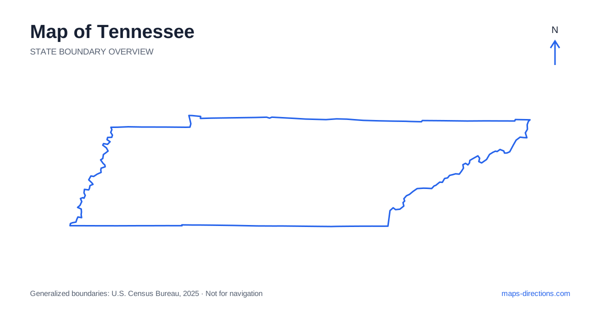
Tennessee has a long, narrow east-to-west shape and three broad regional identities: West, Middle and East. Memphis anchors the western end, Nashville the central region, and Knoxville and Chattanooga occupy different eastern settings. The journey between them crosses changing terrain rather than one uniform strip of land. A map becomes more useful when each city is placed within its river valley, plateau or mountain approach. That framework prevents the state's simple outline from hiding the real travel between widely separated urban and outdoor destinations.
Understand the western river landscape
Western Tennessee reaches the Mississippi River, with Memphis occupying a major riverfront position in the southwestern corner. The surrounding region includes broad lowlands and agricultural country that differ from the plateau and mountain landscapes farther east. A cross-river destination needs a specific bridge, and a metropolitan description may include addresses beyond the state boundary.
The Tennessee River forms another major water corridor farther east within the western part of the state, with reservoirs and shorelines that require local map detail. A property near the water is not defined adequately by the nearest town name alone. Identify the correct bank, arm or access road before comparing stops. The presence of a bridge in one location does not establish a crossing beside every lakeside destination.
Place Nashville within the middle region
Nashville is the state capital and a major junction in the central area, with the Cumberland River helping define its urban geography. Interstates 40, 65 and 24 connect the metropolitan region with different directions of travel. The city is a useful orientation point, but its airport, central districts and suburban destinations have distinct approaches.
An overnight location should be chosen according to the actual visit and the next departure direction. A hotel near one interstate may serve a through journey well while adding local travel to a venue on another side of the metropolitan area. If several central-region stops are planned, locate their full addresses before choosing the base. The capital's central position on the state outline does not make every nearby-looking destination equally convenient.
Follow the east-to-west connection across changing terrain
Interstate 40 provides a major route across Tennessee through the Memphis, Nashville and Knoxville regions. It establishes the broad relationship between those cities, while other corridors connect destinations to the north and south. A stop away from the main line needs its own access and onward connection rather than being treated as a negligible detour.
Between the middle region and the eastern valleys, the Cumberland Plateau introduces a meaningful terrain transition. Roads may climb, descend or follow particular gaps, so a route that looks direct on a small map can have a different character from the flatter western sections. A terrain view explains those changes. It does not replace current road information, but it helps make the basic choice of corridor more understandable.
Distinguish Knoxville from Chattanooga
Knoxville occupies an eastern valley setting and connects with Interstate 75 as well as the main east-to-west corridor. Chattanooga lies farther southwest near the Georgia border and has a different combination of river, ridge and metropolitan geography. The two cities should be shown as separate regional anchors rather than combined into one compact eastern urban district.
Interstate 24 provides an important connection between the Nashville and Chattanooga regions, while Interstate 75 links other eastern approaches. The specific route depends on the destination sequence. A downtown stop, airport transfer or recreation area outside either city needs a precise arrival point. Rivers and ridges can separate places that appear close, making the chosen side of the metropolitan region relevant to both the final approach and the next stage.
Read the mountain gateways by their actual entrances
The Great Smoky Mountains region in the east contains several gateway communities and approaches. Gatlinburg, Pigeon Forge and Townsend occupy different positions in the local road network. A booking in one town is not automatically adjacent to every park destination associated with the wider region. Use the named visitor entrance or trailhead before selecting the route.
A broad national-park boundary covers far more terrain than a single arrival pin can represent. The mountain roads also connect particular valleys rather than providing a regular grid through the landscape. If a plan involves crossing into neighboring North Carolina, show the intended road connection explicitly. A straight line over the mountains is geographical distance, not evidence of an equivalent driving route or a currently available through road.
Choose a sequence suited to the long state shape
A Memphis visit, a Nashville-area stay, a plateau excursion and an eastern mountain trip each provide a coherent starting focus. Combining them creates a substantial journey along the state's long axis, with additional local legs at each end. Place overnight stops according to that progression before adding side trips that require returning toward a region already visited.
For a Tennessee itinerary, keep the selected riverbank, metropolitan district or mountain gateway attached to every destination. Use the statewide map for the overall east-to-west structure and closer views for each arrival. This preserves the distinctions between lowlands, central city corridors, plateau crossings and eastern valleys, turning the familiar narrow outline into a route with realistic, connected stages rather than a simple line between city names.