Map of Tempe
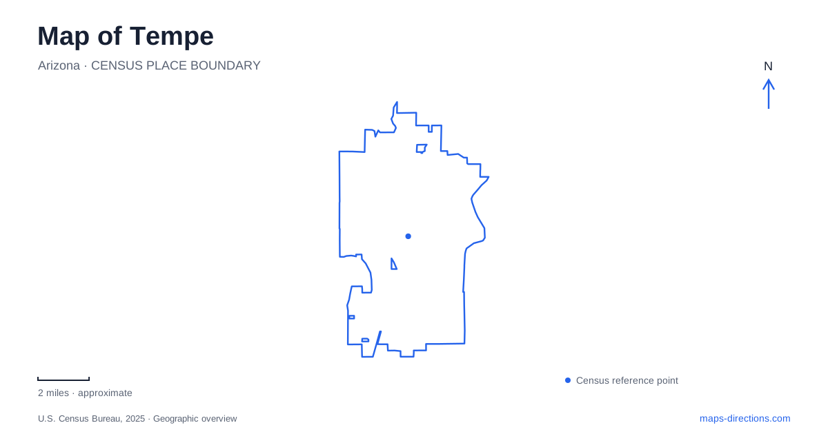
Street tiles load from OpenStreetMap when opened. The blue line shows the 2025 Census boundary.
- State
- Arizona
- Population · July 2025
- 190,571
- Land area
- 40.0 sq mi
- Water area
- 0.2 sq mi
Tempe's central landscape combines a river corridor, a compact desert butte, an agricultural landmark and a large university campus. Those features sit close enough to appear together on a neighborhood map, yet each represents a different period in the city's development. The lake is a modern water-management project; the mill recalls grain processing; the university grew from a nineteenth-century school; and the butte's cultural importance reaches much further back. Following those layers gives the street grid meaning beyond its numbered blocks and arterial roads.
A lake that still carries river flows
Tempe Town Lake was created in 1999 by damming part of the dry Salt River channel and adding water. It extends for more than two miles between the areas near Priest Road and McClintock Road, with Rio Salado Parkway on the south side and Curry Road to the north.
Despite its lake appearance, the channel retains a flood-conveyance role. The dam can be lowered to pass runoff and raised to maintain the impounded water. That dual function explains why the waterfront is both a recreation landscape and an engineered part of a much larger drainage system.
Paths follow its edges, while boating facilities, memorials, habitat areas and the arts center occupy different sections of the shore. A visit can focus on one of those places or use the paths to explore the changing waterfront. The lake's length and the positions of crossings matter more to that choice than a single marker placed in the middle of the water.
Mill Avenue's industrial landmark
Hayden Flour Mill stands at the southeast corner of Mill Avenue and Rio Salado Parkway. The surviving reinforced-concrete building dates to 1918, replacing a previous mill destroyed by fire in 1917. Milling on the site began in 1874, and the grain elevator and silos to the east were added in 1951.
The complex connects downtown Tempe with its agricultural economy. Grain processing once helped anchor a town surrounded by farmland, and the mill purchased crops from a much broader region. Its substantial industrial form makes sense in that context, even as modern development has altered the surroundings.
Milling ceased in 1998. The building is therefore a historic industrial landmark, not an operating flour factory. Its relationship to the avenue, waterfront and butte remains visible, showing how production, transport and topography helped concentrate early activity in this part of the city.
Hayden Butte beyond the university letter
Hayden Butte, also known as “A” Mountain, overlooks the campus and the central city. The painted university letter is a familiar modern symbol, but the landform contains archaeological resources and has continuing cultural significance for Indigenous communities.
The city recognizes its importance to the Ak-Chin Indian Community, Gila River Indian Community, Salt River Pima-Maricopa Indian Community and Tohono O'odham Nation. Petroglyphs and other cultural features place the butte within a history much older than the mill or university. Staying on designated routes helps preserve that landscape rather than treating every exposed rock as a place to climb or leave a mark.
On a map, the butte also provides a straightforward orientation point. It rises beside otherwise lower urban streets, allowing the relationship between the lake, campus and downtown to be understood in three dimensions.
Walking through the original ASU campus
Arizona State University's Tempe campus dates to 1885. Broad pedestrian malls and successive generations of buildings record its growth from a small school into a major university. A campus map is especially useful here because the most direct walking routes follow malls and passages that do not function like ordinary through streets.
Old Main, at 400 East Tyler Mall, is the oldest original campus building. Its Victorian architecture and restored interiors contrast with newer research and teaching facilities. It now houses the alumni association, retaining an institutional role rather than standing solely as a monument.
Palm Walk supplies a north–south pedestrian axis from University Bridge toward the fitness complex. The historic route remains, but the old palms were replaced with date palms between 2016 and 2018. That change adds an instructive detail to the landscape: a familiar campus image can be maintained through renewal rather than through keeping every original tree.
Recreation farther south
Kiwanis Park shifts the map of Tempe away from the lake-and-campus cluster. At Mill Avenue and All America Way, its 125 acres combine a lake, sports areas, picnic facilities and a recreation center. The land was purchased in 1972 after a city open-space study, and the Kiwanis Club helped fund development.
Its scale and range of facilities make it a regional recreation destination rather than a small neighborhood square. The lake here belongs to this park setting and should not be confused with the Salt River impoundment downtown. Together, the two water landscapes show different choices about public space: one organizes a central waterfront corridor, while the other anchors a broad park serving neighborhoods farther south.
Map and statistics: U.S. Census Bureau, 2025 Gazetteer, January 2025 generalized place boundaries and Vintage 2025 population estimates. Local references: City of Tempe; Arizona State University. Article prepared by Maps & Directions.