Map of Taylor
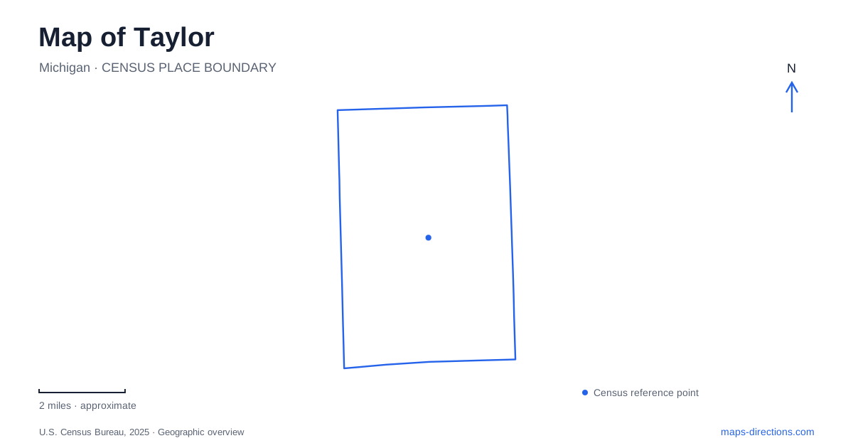
Street tiles load from OpenStreetMap when opened. The blue line shows the 2025 Census boundary.
- State
- Michigan
- Population · July 2025
- 61,279
- Land area
- 23.6 sq mi
- Water area
- 0.0 sq mi
Taylor sits in metropolitan Detroit's Downriver area, east of Detroit Metropolitan Airport and west of the Detroit River. The regional name can be misleading if read as a promise of riverfront geography: this community is inland. Its most recognizable map lines are Interstate 94, Interstate 75, and Telegraph Road, while its most distinctive public landscape lies within Heritage Park. Understanding both the highway framework and that park setting gives a more complete introduction than either one alone.
Telegraph, Northline, and the regional map
Telegraph Road carries US 24 through the city. It is a useful reference for destinations described by highway number as well as by local street name. I-94 and I-75 provide other major regional lines, but the local map becomes more informative when streets such as Northline, Pardee, and Eureka remain visible between them. Those surface roads identify where everyday destinations actually sit within the highway framework.
The sports complex at Telegraph and Northline is a particularly clear example. Its location can be understood through the intersection of two named roads, while the surrounding freeways explain access from the wider metropolitan area. For a map of Taylor, retaining both scales prevents the regional road diagram from overwhelming the local one. The freeway names explain the broader approach; Telegraph and Northline establish the district itself.
Eureka Road has a separate relationship with I-75, visible on the city's district maps. Comparing that area with the Northline intersection helps distinguish two major local reference points rather than treating the entire commercial road network as one continuous center. The city is large enough for those differences to matter when arranging multiple stops.
Heritage Park and the Pardee Road landscape
Heritage Park is on Pardee Road. Its collection of recreation spaces includes fields, playgrounds, paths, a library, and a historical village. The petting farm, conservatory and botanical gardens, and Fletcher nature trail add further destinations around the park setting. This concentration gives the grounds a different character from the larger commercial corridors: a range of civic and leisure places can be understood through one shared landscape.
The park's internal landmarks are useful for describing where an activity occurs. Sheridan Pavilion is near the Pardee Road entrance, while Heritage Hall is behind the library beside the splash-pad area. Those relationships provide more detail than the general park address. A gathering near the library occupies a different part of the grounds from one at the entrance pavilion, even though both are within the same named destination.
Taylor's map therefore benefits from a closer park view when the purpose of a visit is recreation. At city scale, Heritage Park is one large green space. At walking scale, the library, fields, pavilions, gardens, and historic buildings form a small network of distinct places.
Coan Lake and the assembled historical village
Coan Lake occupies the center of the park's historical area. It is a constructed pond dating to 1988, surrounded by paths and historic buildings, rather than an ancient lake around which the original settlement developed. The name recalls Peter Coan, the first registered local landowner. That distinction between the age of the water feature and the history represented around it makes the setting easier to interpret.
Several buildings were relocated to the park, including the old log cabin and West Mound Church. The train-station building is a later near-replica of the former Hand station. A covered bridge, gazebo, and clock provide other recognizable features beside the pond. Together they create an interpretive historical landscape assembled from different places and periods.
For someone learning about Taylor, the village offers a concentrated introduction to local heritage, but its present arrangement should not be mistaken for the original layout of a nineteenth-century town center. That is a useful map-reading distinction: the buildings preserve or represent history, while their grouping around the pond reflects a later public-park project.
A park connection and a separate indoor destination
The city dedicated a pathway connection between Heritage Park and Wayne County Community College District's Downriver campus in 2018. The dedication location was near the MIPSE building at the back of the campus. This supplies a specific connection between two large public sites, adding a pedestrian relationship that a road-only overview can miss.
The indoor Sportsplex remains a separate destination at Telegraph and Northline. Its four arenas are arranged around a central atrium, with ice surfaces and other indoor sport spaces giving it a building-based layout very different from the park. A useful overview of Taylor keeps these settings distinct: freeway and surface-road corridors for regional orientation, Heritage Park for its layered outdoor landscape, and the Northline intersection for the major indoor athletic complex.
Map and statistics: U.S. Census Bureau, 2025 Gazetteer, January 2025 generalized place boundaries and Vintage 2025 population estimates. Local references: City of Taylor. Article prepared by Maps & Directions.