Map of Surprise
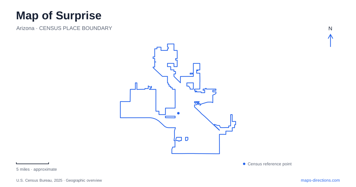
Street tiles load from OpenStreetMap when opened. The blue line shows the 2025 Census boundary.
- State
- Arizona
- Population · July 2025
- 175,304
- Land area
- 110.5 sq mi
- Water area
- 0.2 sq mi
Surprise has an older townsite, a substantial sports and civic campus, newer northern neighborhoods, and a mountain landscape visible beyond the urban streets. Those places belong to different chapters of local development. A useful map keeps the historic Grand Avenue corridor distinct from the recreation facilities around Bullard Avenue and from the regional park reached through Waddell. The result is a clearer picture of a city whose best-known baseball venue is only one part of its geography.
The diagonal through the original settlement
Flora Mae Statler founded the community in 1938 on what the city's tourism office describes as a square mile of farmland. The Original Town Site remains the historical center, with Grand Avenue, also designated U.S. 60, and the railroad cutting diagonally through it. These alignments divide northern and southern portions of the neighborhood and differ visibly from the surrounding rectilinear street grid.
That diagonal is a useful clue to the area's earlier development. A map showing only the modern city's broad outline can conceal the small settlement from which it grew. Bicentennial Park is one public reference within the Original Town Site, and Hollyhock Street and Santa Fe Drive identify another part of the neighborhood's civic landscape.
The historic center should therefore be understood as an existing neighborhood with its own streets and community life. It is not simply an alternative name for the newer cluster of municipal and recreation facilities elsewhere in the city. Recognizing the difference makes historical references and contemporary addresses easier to place.
Baseball within a larger recreation campus
Surprise Stadium serves as the spring training home of the Texas Rangers and Kansas City Royals. The complex developed in 2002 includes the main stadium and surrounding practice facilities, making baseball a substantial land use rather than a single building beside an ordinary neighborhood park.
The larger recreation setting also includes public facilities around Bullard Avenue and Paradise Lane. The city park map shows a library, an aquatic center, sports courts, a playground, dog areas, and DreamCatcher Park. Their concentration makes this a major destination for everyday recreation as well as seasonal baseball crowds.
For an event visit, the stadium is the relevant focus. For an ordinary park outing, the lake, courts, library, and play areas form a different set of destinations within the same broader campus. This relationship explains the density of recreation symbols on the map without implying that every facility shares one entrance or one operating schedule.
A fishing lake with a specific purpose
The five-acre fishing lake at Surprise Community Park participates in Arizona's Community Fishing Program. It brings a managed fishery into the urban recreation setting, with fishing rules distinct from the simple presence of water on a map. The state prohibits swimming, wading, and boating in this lake.
That distinction is particularly useful because a swimming facility is also part of the recreation campus. The aquatic center and the fishing lake serve different activities, despite appearing close together among park amenities. A visitor looking for a place to swim should not infer that the lake shoreline provides it.
This compact arrangement illustrates how Surprise groups several public uses into one recognizable civic landscape. The water, sports facilities, and library contribute to the same area while retaining their individual purposes.
A northern park and the mountain horizon
Asante Library occupies a separate setting within Asante Community Park at 16755 West Vereda Solana Drive. Its reading and study spaces look toward the park and the White Tank Mountains. This northern branch provides a useful counterpoint to the library at the recreation campus: both serve the city, but their park settings belong to different neighborhoods.
The White Tank Mountains themselves extend the view beyond municipal recreation. White Tank Mountain Regional Park has a Waddell address at 20304 West White Tank Mountain Road. Nearly 30,000 acres encompass rugged ridges and canyons, with the range rising above 4,000 feet. County management and that separate approach distinguish the regional park from a city neighborhood park.
The mountains take their name from depressions scoured into pale granite by powerful flows through the canyons. That origin explains why the word “tank” refers to natural rock formations rather than constructed municipal reservoirs. The county publishes separate maps for the park, campgrounds, and Waterfall Trail, reflecting the scale and variety of the terrain.
Reading the older diagonal corridor, central recreation cluster, northern library park, and mountain approach together gives Surprise a more complete geographical identity. It connects the small agricultural settlement with later public investment while keeping the surrounding desert landscape in its proper regional context.
Map and statistics: U.S. Census Bureau, 2025 Gazetteer, January 2025 generalized place boundaries and Vintage 2025 population estimates. Local references: Explore Surprise; City of Surprise; City of Surprise Stadium; Arizona Game and Fish Department; Surprise Public Library; Maricopa County Parks. Article prepared by Maps & Directions.