Map of Sunrise
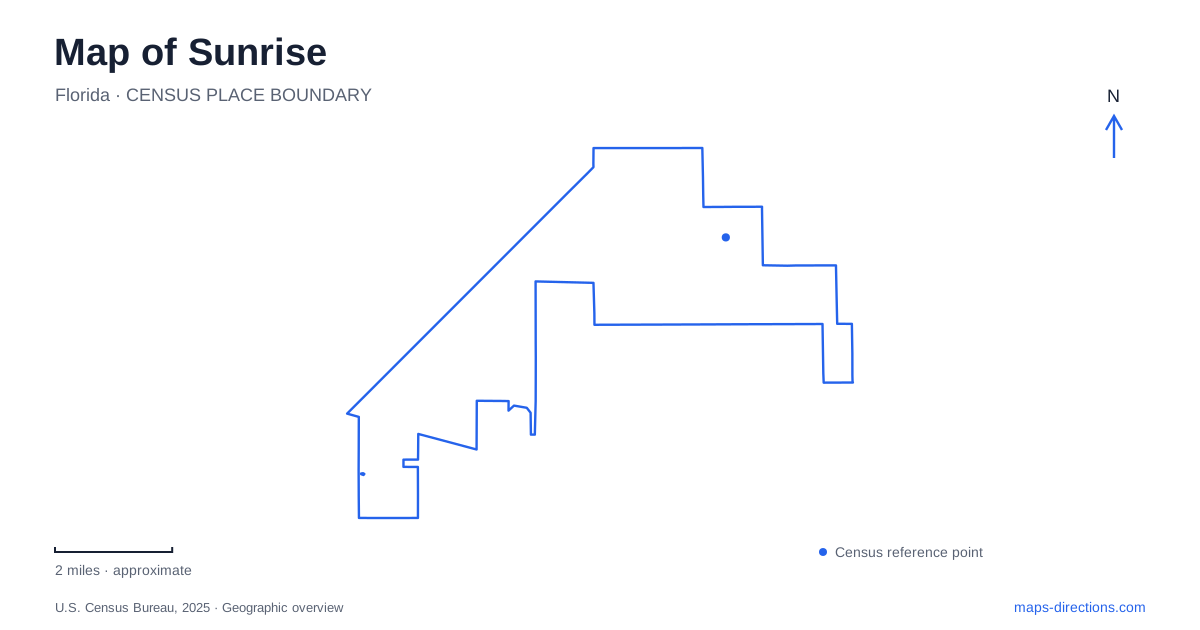
Street tiles load from OpenStreetMap when opened. The blue line shows the 2025 Census boundary.
- State
- Florida
- Population · July 2025
- 98,846
- Land area
- 16.2 sq mi
- Water area
- 1.9 sq mi
Sunrise has a neighborhood civic district around Sunset Strip, a sequence of parks along Northwest Forty-fourth Street, and a major event destination near the Sawgrass Expressway. These areas perform different roles within the city. Village Art Plaza connects smaller public spaces, Welleby combines recreation with a lake setting, and the arena requires a much larger circulation plan. North New River Circle adds another landscape, where Sawgrass Sanctuary interprets local ecosystems through paths, a boardwalk, and observation points.
The village district around Sunset Strip
Village Art Plaza is at 2260 Northwest Sixty-eighth Avenue, beside City Park and the Village Multipurpose Center. The city describes it as a public space connecting those facilities in the original neighborhood area. This makes it a useful civic reference rather than simply an isolated sculpture location.
Murals, sculpture, a stage, and an interactive art element give the plaza several uses. Markets and cultural programs occupy the same flexible outdoor space at different times. The permanent geographical relationship is the connection between park, plaza, and community building; the event calendar adds temporary activity to that arrangement.
The Village Civic Center uses the separate address of 6800 Sunset Strip. On a Sunrise map, the avenue address for the art plaza and the Sunset Strip address for the civic center help distinguish neighboring facilities. Someone attending a program should retain its named venue, even when the broader village district is already familiar.
Welleby has several internal recreation areas
Welleby Park is at 11100 Northwest Forty-fourth Street. Its published map divides the walking routes into west, central, and east loops, with exercise stations identified along the western circuit. This layout provides alternatives within the park rather than one route that every visitor must complete.
The park's expanded facilities include Pawgrass dog park, a nature-themed splash pad, a playground, and Safety Town, whose miniature buildings support play and learning. A lakeside boardwalk and the community room add still other destinations. These features explain why the park map uses multiple named areas and numbered pavilions rather than a single central activity zone.
For a family outing in Sunrise, selecting a pavilion or activity area first makes the internal route more intelligible. A dog-park visit and a gathering at a numbered picnic shelter share the same street address but use different parts of the grounds. The map is most helpful at that level of detail.
Oak Hammock is a separate stop on Forty-fourth Street
Oak Hammock Park is at 9220 Northwest Forty-fourth Street, east along the numbered address sequence from Welleby. It opened in 2015 with ecological restoration and passive recreation as central purposes. Nature trails, an outdoor classroom, the Live Oak Chess Patio, and wood carvings by Scott McAllister give it an identity distinct from the larger activity mix at Welleby.
Check the city's facility information for the environmental boardwalk before choosing it as the central part of an outing. The condition of that feature is a separate question from access to the park's other recreation areas. The park's upland areas, playgrounds, pavilions, and boardwalk represent different components of the site, so a feature-level map is useful here as well.
Sawgrass Sanctuary's learning landscape
Sawgrass Sanctuary stands at 237 North New River Circle. Its roughly twenty-acre site includes an observation platform, fishing pier, boardwalk, and walking path. Interpretive displays explain four dominant native ecosystems, giving the route an educational purpose beyond general exercise.
The site map distinguishes marsh, slough, tree-island, and tropical-hammock settings. Those habitat labels are useful because vegetation and water organize the experience more than a formal street grid does. A map of Sunrise can show the sanctuary as one green property, while the internal interpretation explains why different portions of it look and function differently.
The arena's approaches depend on travel mode
Amerant Bank Arena is at 1 Panther Parkway, where the Florida Panthers play home games. The operator's directions also identify Panther Parkway as the continuation of 136th Avenue. Regional approaches use the Sawgrass Expressway, Interstate 595, Flamingo Road, and Oakland Park Boulevard, making the arena district a different navigation problem from a neighborhood park.
The venue directs pedestrians through Gate 6 and its sidewalk toward the front stairs. Rideshare vehicles use Gate 3 for entry and a northern pedestrian-walkway meeting area, while vehicle parking is divided among designated gates and lots. These are separate arrival patterns, not interchangeable entrances to one building.
Sunrise is therefore easiest to read through its actual clusters: the village's connected civic spaces, the distinct parks along Forty-fourth Street, the sanctuary on North New River Circle, and the arena's event circulation network. Their differences are the key to turning a city-wide overview into a useful local map.
Map and statistics: U.S. Census Bureau, 2025 Gazetteer, January 2025 generalized place boundaries and Vintage 2025 population estimates. Local references: City of Sunrise; Amerant Bank Arena. Article prepared by Maps & Directions.