Map of Sunnyvale
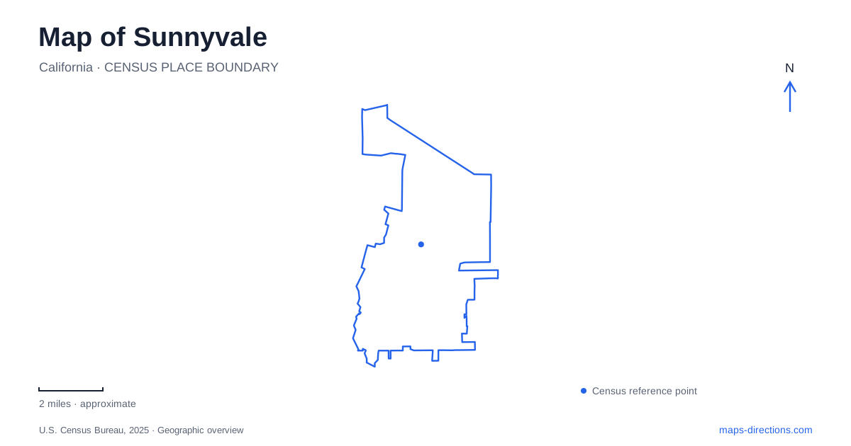
Street tiles load from OpenStreetMap when opened. The blue line shows the 2025 Census boundary.
- State
- California
- Population · July 2025
- 156,577
- Land area
- 22.1 sq mi
- Water area
- 0.7 sq mi
Sunnyvale has two particularly useful historical reference points: the railway settlement around Murphy Avenue and the surviving agricultural landscape at the Heritage Orchard. Neither tells the whole story of the modern city, but together they explain why its oldest commercial buildings, a reconstructed ranch house and an apricot orchard occupy different parts of the map. Farther toward the bay, landscaped recreation grounds meet protected seasonal wetlands. Reading these places as distinct landscapes gives a more informative picture than treating every green area or historic label as interchangeable.
The railway block that became a commercial center
The 100 block of South Murphy Avenue preserves the scale of the early business district. Evelyn Avenue and the railway mark its northern setting, while Washington Avenue, South Frances Street and Sunnyvale Avenue help frame the surrounding downtown area. The heritage district grew around the intersection of Evelyn and Murphy, which was originally called Main Street. Its compact buildings contrast with the much larger redevelopment blocks nearby.
Martin Murphy Jr. settled at Bay View Ranch in 1850. In 1864 he provided an easement for the railway between San Francisco and San Jose, with a stopping place that became known as Murphy Station. The relationship between the tracks and the commercial street was therefore fundamental to the settlement, rather than an incidental feature added after the town had developed.
At 101 South Murphy, the corner with Evelyn held an 1897 general store and the first post office. Much of the heritage block's building stock dates from 1900 through 1950 and is modest in height, commonly one or two stories. The city identified these historic resources in its 1979 inventory. A map of this small district becomes more useful when read at the scale of individual corners and blocks, where its older pattern remains visible.
A house reconstructed beside an orchard
The Heritage Park Museum presents a different chapter of Sunnyvale history. Its building is an approximate reconstruction of the Murphy family's Bay View house, completed in 2008. The original home stood elsewhere, near the present Murphy Park, and was demolished in 1961. The museum therefore represents the house's history without occupying its original site.
Inside, rooms evoke domestic life around 1860 through a parlor, dining room, kitchen and bedroom, with Murphy family objects among the displays. Other exhibits broaden the story beyond one household: cannery equipment, the Hendy Iron Works and Moffett Field connect agriculture, manufacturing and aviation. A historical mural carries the narrative from the Ohlone community toward the technological changes of the twentieth century. These subjects help explain how a ranching and fruit-growing landscape became a much more varied urban economy.
The reconstructed building sits beside the Heritage Orchard on community center land. That setting is especially meaningful because the surviving trees are themselves part of the historical landscape, rather than simply decorative planting around a museum.
Apricot trees as a surviving land use
In 1994 the city preserved ten acres of Blenheim apricot trees, and the orchard received its heritage designation in 1997. This remnant makes the agricultural past of Sunnyvale legible outdoors. Rows of fruit trees communicate the organization and repetition of commercial cultivation in a way that an isolated old farmhouse cannot.
The outdoor Orchard Interpretive Exhibit adds context to that working landscape. It is separate from the indoor museum galleries, so a map can distinguish the orchard grounds from the reconstructed house even though they form a connected heritage destination. The contrast with Murphy Avenue is instructive: one place records trade around a railway stop, while the other preserves the productive landscape that supported the surrounding settlements.
Where recreation meets the bay's wetlands
Baylands Park occupies a sharply different setting at 999 East Caribbean Drive. It combines more than seventy acres of developed parkland with a further 105 acres of seasonal wetlands maintained as a preserve. Santa Clara County owns the park, while the city operates and maintains it. Its position near the bay makes it an important geographical counterpoint to the inland commercial and orchard districts.
The park map identifies Baylands Trail, Meadow Trail and Wave Walk, along with picnic spaces, discovery play areas and a turf amphitheater. It also distinguishes freshwater wetlands and habitat associated with the salt marsh harvest mouse. Those distinctions matter: the open space includes both recreation facilities and sensitive habitat, with paths organizing how visitors move between the developed areas.
Bay Trail access connects this destination to a broader shoreline network. For understanding Sunnyvale, the strongest overall map is therefore layered: railway heritage at Murphy Avenue, agricultural memory beside the community center, and a northern landscape where public recreation borders protected wetlands. Each contributes a different physical record of how the city developed.
Map and statistics: U.S. Census Bureau, 2025 Gazetteer, January 2025 generalized place boundaries and Vintage 2025 population estimates. Local references: City of Sunnyvale; Sunnyvale Heritage Park Museum. Article prepared by Maps & Directions.