Map of Sun Prairie
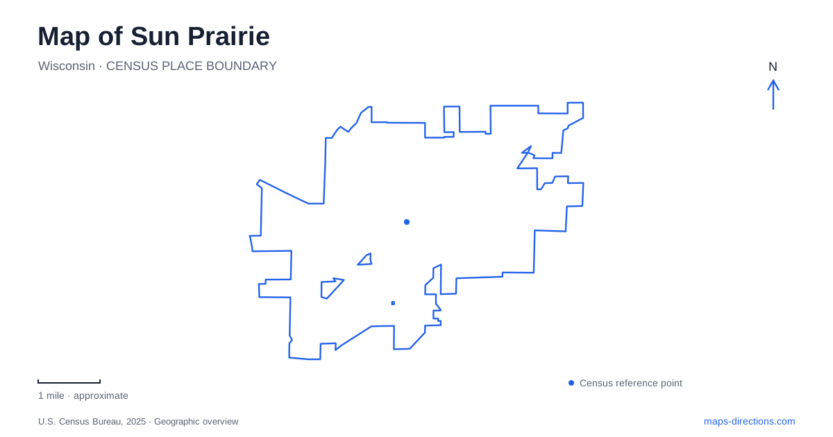
Street tiles load from OpenStreetMap when opened. The blue line shows the 2025 Census boundary.
- State
- Wisconsin
- Population · July 2025
- 39,227
- Land area
- 13.1 sq mi
- Water area
- 0.0 sq mi
Sun Prairie's map brings together a compact historic Main Street, large recreation grounds along Linnerud Drive, and a restored wetland landscape on the eastern side of the community. These areas reveal different ways the city has changed. Older buildings have acquired new public uses, recreation facilities serve expanding neighborhoods, and land once drained for farming has returned to wetland habitat. Reading those changes together gives the map more depth than a simple division between downtown and suburbs.
A library building became a museum
The red-brick building at 115 East Main Street was constructed in 1924 as the community's first standalone public library. Library operations moved elsewhere in 1967, and the building became the historical museum in 1969. Its current name, Historical Library and Museum, can therefore require a little interpretation: the institution preserves local history in a former library building, rather than serving as the city's ordinary lending-library branch.
The site also connects to Charles H. Bird, whose home previously occupied the property. That sequence of home, public library, and museum records changing civic uses at one downtown address. For Sun Prairie, the building is both a source of historical interpretation and an artifact in its own right. Its position on Main Street makes it part of the historic commercial setting rather than a detached museum campus outside town.
Georgia O'Keeffe's local beginnings
The museum's Georgia O'Keeffe Room examines the artist's early life and family connections. Although her later career is strongly associated with other landscapes, her Wisconsin upbringing remains an important part of the local story. The community also commemorates her through a historical marker near City Hall and an avenue bearing her name.
These references describe different kinds of places. A museum room presents objects and interpretation; a marker identifies a commemorative location; a street name preserves public recognition. They should not be mistaken for interchangeable versions of an artist's house museum. The historical museum also provides a virtual driving tour of her formative world, extending the story beyond a single building. That approach is particularly useful for a childhood landscape whose meaning is distributed among family, school, and community settings.
Main Street as a connected historic district
The downtown historic district extends along East Main Street, with the museum among its buildings. Its value lies partly in the relationships between structures rather than in one isolated landmark. The city provides historical interpretation for the Crosse House, Old City Hall, water tower, and former canning company, alongside its downtown walking-tour material.
This creates several ways to read Sun Prairie at street level. Civic buildings explain public administration, a house preserves domestic history, and industrial references reveal work that supported the community. A modern storefront use does not necessarily identify a building's original purpose. The historical material helps distinguish the age and role of the structure from the business or institution occupying it today. It also encourages a closer view of the downtown blocks, where short distances can contain several different historical narratives.
Recreation along Linnerud Drive
Sheehan Park stretches along Linnerud Drive and includes athletic fields, playgrounds, courts, trails, and mountain-biking facilities. Its different shelters have their own locations within the larger recreation area. Sheehan Central, for example, is listed at 945 Linnerud Drive, while the Family Aquatic Center is at 920.
For Sun Prairie visitors, this is an important distinction between a broad park label and the entrance for a particular activity. The aquatic center, picnic shelter, and trail outing may be close, but they do not require exactly the same arrival point. Wetmore Park provides another family recreation setting at 555 North Street, including the Tom and Rita Tubbs splashpad and playground. Its splash facilities are separate from the pools at the aquatic center. Matching the activity to the named facility avoids treating every water-play reference as the same destination.
Patrick Marsh is a restored landscape
Patrick Marsh includes prairie, savanna, wetland, and Brazee Lake. Its history explains why the water visible today does not represent an unchanged natural scene. The marsh was drained for agriculture in the 1960s; restoration associated with highway wetland mitigation later reversed that drainage. Pumps and tiles were disabled in 1991, allowing water and wetland life to return.
The protected area now has trails and wildlife-viewing opportunities managed through partnerships involving the city and Groundswell Conservancy. Entrances are available from Stone Quarry Road, Schuster Road, and Derby Drive. On the north side, a small parking area connects with an accessible path and viewing deck. Other routes pass through prairie and savanna, so the marsh offers more than a single water-edge viewpoint.
This eastern landscape completes a useful cross-section of Sun Prairie: a former library preserves community memory, Main Street records changing civic and commercial life, recreation grounds support neighborhood activity, and restored wetlands demonstrate how land use can be deliberately reversed. Each area rewards a different scale of map reading.
Map and statistics: U.S. Census Bureau, 2025 Gazetteer, January 2025 generalized place boundaries and Vintage 2025 population estimates. Local references: Visit Sun Prairie; City of Sun Prairie Museum; City of Sun Prairie; Groundswell Conservancy. Article prepared by Maps & Directions.