Map of Suffolk
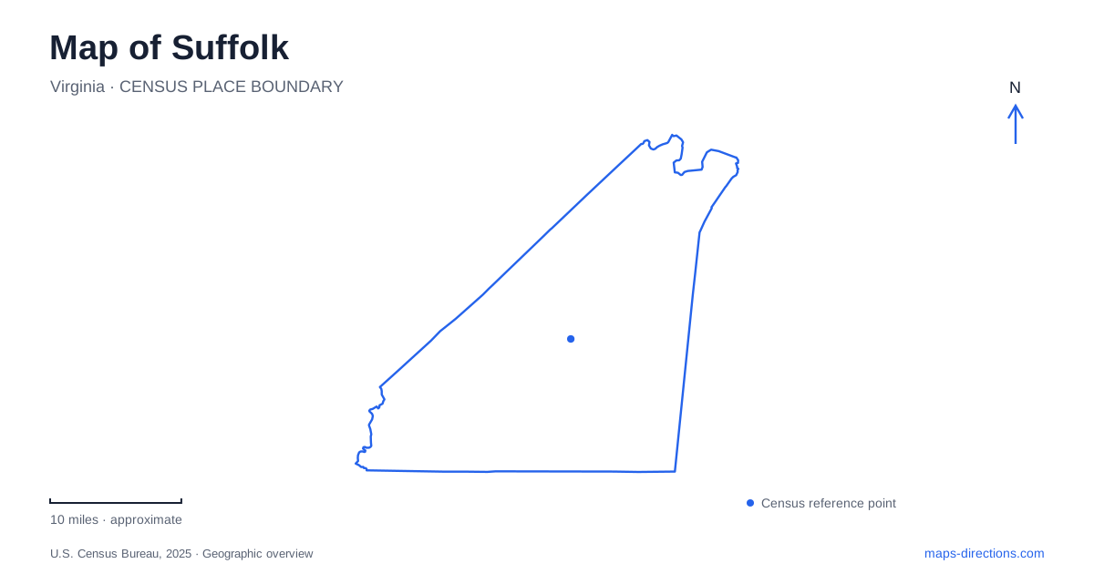
Street tiles load from OpenStreetMap when opened. The blue line shows the 2025 Census boundary.
- State
- Virginia
- Population · July 2025
- 104,699
- Land area
- 399.2 sq mi
- Water area
- 29.7 sq mi
Suffolk's map spans very different settings, from a compact historic center to river parks and the Great Dismal Swamp. North Main Street provides a useful starting line for the older city, with a courthouse and railway station now serving visitors in new ways. East Constance Road leads toward the Nansemond River waterfront. Farther away, Bennett's Creek and the swamp refuge require attention to named roads and access points. These places are connected by regional history, but they cannot be understood as one walkable downtown district.
North Main Street's reused public buildings
The visitor center occupies the historic Nansemond County Courthouse at 524 North Main Street. Dating to about 1839, the building now includes a gallery interpreting the Great Dismal Swamp. Its present use links downtown orientation with a landscape that extends well beyond the surrounding blocks.
Farther along North Main, the Seaboard Station Railroad Museum stands at number 326. The station was built in 1885 in the Queen Anne style, with a tower and walnut spiral staircase. Its exhibits include a two-room model depicting the city in 1907, allowing visitors to compare a historical urban layout with the streets outside.
Suffolk's station reopened in June 2026 after extensive repairs following a 2023 pipe burst and flood. The restoration preserves a recognizable railway building within the downtown landscape. The adjacent Cedar Hill Cemetery also belongs to this historic cluster, with a gate reached beside the station parking area.
Together, courthouse, station, and cemetery provide three different ways to read local history: county government, regional transport, and community memory. Their specific North Main addresses give that history a practical sequence without suggesting every downtown landmark occupies the same block.
The wharf and the Nansemond
Constant's Wharf Park and Marina uses 110 East Constance Road on the Nansemond River. The city's tourism history connects the location with John Constant's trading center, known as Constant's Warehouse, which preceded the establishment of the town in 1742.
That origin gives Suffolk's riverfront a commercial significance beyond its present recreation use. A wharf was a connection between inland activity and waterborne movement. The modern park and marina retain the relationship with the river while serving a different public purpose.
East Constance Road is consequently a useful transition between the North Main historic buildings and the waterfront. On a map, the river should remain a defining feature of the center, not merely a blue line beyond the last commercial block. The town's early trading role depended on that relationship.
Bennett's Creek as a separate water approach
Bennett's Creek Park is at 3000 Bennetts Creek Park Road. Its boat ramps reach the Nansemond through the creek, making the sequence of waterways important: launching here begins on the smaller waterway before reaching the larger river.
The park also includes a nature trail, open fields, tennis courts, and a fishing and crabbing pier. Those features support a land-based visit as well as boating. A park map can therefore be read through both its recreation grounds and its connection to the river system.
For Suffolk visitors, this creek access is distinct from Constant's Wharf downtown. The two places share the Nansemond watershed but have different approaches and surroundings. Naming the park and road establishes which riverfront experience is intended, rather than relying on a broad waterfront label.
Several entrances to the Great Dismal Swamp
The national wildlife refuge identifies four principal trail entrances: Portsmouth Ditch, Jericho Lane, Washington Ditch, and Railroad Ditch. Its road-trails and boardwalks extend through a large forested wetland. White Marsh Road provides approaches to Jericho and Washington Ditch, while Desert Road leads toward headquarters and the wildlife drive.
The headquarters address is 3100 Desert Road. Vehicle access for Lake Drummond Wildlife Drive begins separately at 3120 Desert Road, through the Railroad Ditch entrance, and requires the refuge's vehicle permit. These neighboring addresses describe different functions: an administrative and visitor-information location, and the beginning of a drivable route into the refuge.
This is the largest change of scale on a Suffolk map. Downtown can be understood through individual blocks, but the swamp requires a trail-and-entrance view. The refuge warns that mobile reception can be limited, making its official trail map particularly useful before setting out. North Main's historic buildings, the Nansemond wharf, Bennett's Creek, and the refuge's named entrances together reveal a city whose geography is shaped by both transport routes and extensive water landscapes.
Map and statistics: U.S. Census Bureau, 2025 Gazetteer, January 2025 generalized place boundaries and Vintage 2025 population estimates. Local references: Suffolk Tourism; City of Suffolk; US Fish and Wildlife Service; Recreation.gov. Article prepared by Maps & Directions.