Map of Strongsville
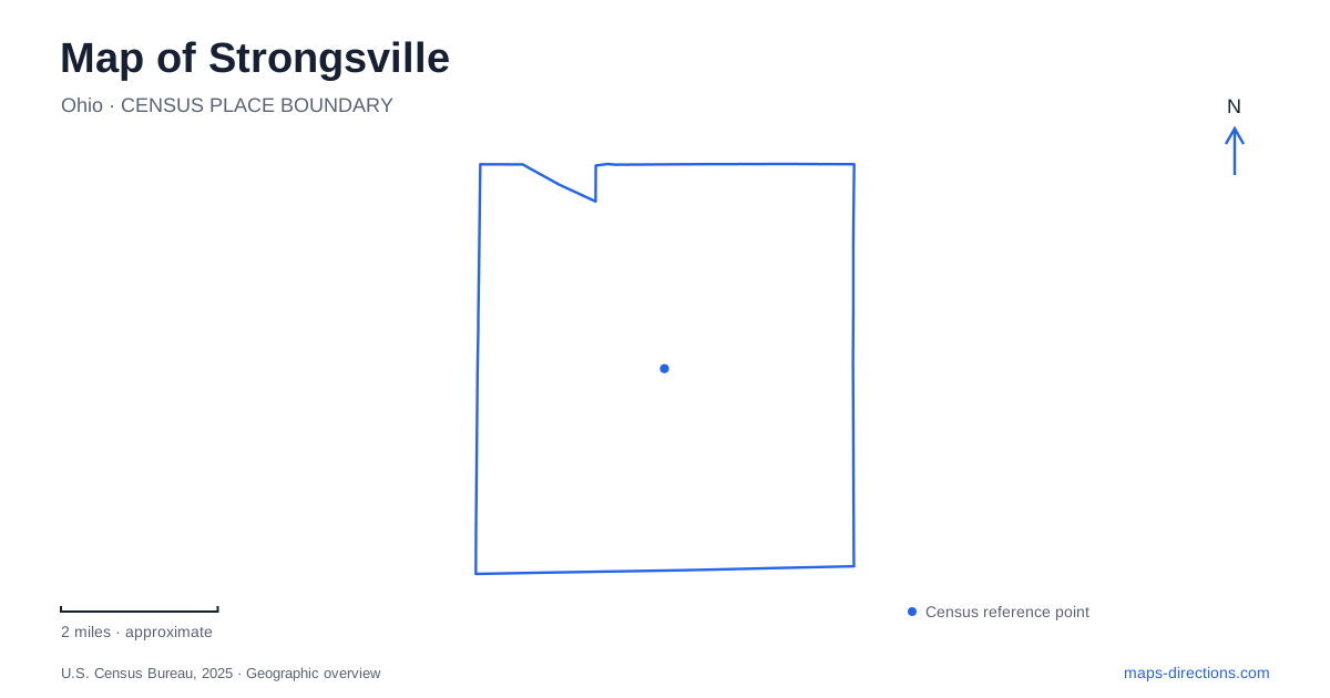
Street tiles load from OpenStreetMap when opened. The blue line shows the 2025 Census boundary.
- State
- Ohio
- Population · July 2025
- 45,629
- Land area
- 24.6 sq mi
- Water area
- 0.0 sq mi
Strongsville’s landscape includes a river valley that cuts across the suburban street pattern and carries a history of mills, recreation, and ecological restoration. The East Branch of the Rocky River enters from North Royalton and continues toward Berea, with Valley Parkway following its northwesterly course. Pearl Road, Royalton Road, and the parkway provide useful references for exploring the city, but the river explains why the broad green corridor takes a different direction from many surrounding streets.
Mill Stream Run and the former Albion landscape
Mill Stream Run Reservation takes its name from streams that once powered local gristmills and sawmills. The reservation’s trails, wooded slopes, picnic grounds, and river areas preserve a substantial landscape within the developed region. Bonnie Park, reached from Valley Parkway just east of Pearl Road, occupies land once associated with the community of Albion.
In the 1920s, a physician developed private picnic grounds here around an existing mill pond. The old dam created water for swimming and boating, while a boathouse and the surviving mill linked recreation with the earlier industrial setting. Later, the park became part of the regional park system. Its name endured even as the use of the river changed.
This history gives the northern part of Strongsville a depth that is not obvious from a road map. Albion was a community with its own buildings and activities, and the river supplied both industrial power and recreation. Bonnie Park’s present picnic grounds and trails occupy part of that longer story rather than land that has always been managed in the same way.
A river restored after the dam
The Bonnie Park dam was removed in 2020. Cleveland Metroparks describes the project as restoring movement for fish and allowing a more varied stream habitat to replace the former impounded water. Riffles, flowing runs, and deeper pools now provide a different physical environment from the relatively uniform water held behind the barrier.
That change is useful when comparing old photographs with the modern landscape. Historic views of a swimming area or mill pond depict a former arrangement of the river. The current open-space corridor reflects restoration as well as preservation. The landscape has not simply been frozen at one moment in its recreational history.
Nearby wetlands, meadows, and woods support wildlife observation, while the Bonnie Park trailhead connects with the river and an all-purpose trail. Strongsville’s river corridor therefore combines several experiences within a connected setting: picnic grounds, habitats, travel along the valley, and evidence of earlier human uses.
Historic buildings brought together on Pearl Road
The Historical Village at 13305 Pearl Road, with its entrance on Zverina Road, gathers buildings from different local settings. The Pomeroy House and Lathrop House came from Albion and were moved to the village in 1988. Their relocation means the present grouping is a preservation collection, while their original locations belonged to the older settlement to the north.
Miss Gilbert’s Academy once stood at the northeast corner of the Commons before moving in 1983. The Olds General Store came from the Beebetown area associated with Boston and Marks roads. These buildings connect the village with several parts of the local map, preserving domestic, educational, and commercial history within one site.
For an understanding of Strongsville, the village is especially useful alongside Bonnie Park. Both retain associations with Albion, but in different forms: one preserves relocated architecture, while the other occupies the landscape of the former community itself. Seeing them together helps explain why a historic building’s present address may not describe the place where its story began.
Gardens, community recreation, and a winter landmark
Gardenview Horticultural Park occupies 16 acres at 16711 Pearl Road. Its mission emphasizes rare plants and flowers within a natural-looking cottage-style landscape. This is cultivated garden ground, distinct in character from the river’s restored habitats, even though both appear as green space on a broad map.
The Ehrnfelt Recreation and Senior Center at 18100 Royalton Road adds a civic recreation reference. Within Mill Stream Run, the Chalet at 16200 Valley Parkway is associated with twin refrigerated toboggan chutes, each about 700 feet long. Their winter use depends on the operated facility rather than simply the presence of snowfall on an ordinary hillside.
Strongsville’s map thus records several kinds of change: river water once held for mills and swimming now flows through restored habitat; buildings from older settlements survive at the Historical Village; and cultivated gardens and recreation facilities serve present community life. Pearl Road and Valley Parkway connect these themes geographically, making the city’s history visible through both its buildings and its land.
Map and statistics: U.S. Census Bureau, 2025 Gazetteer, January 2025 generalized place boundaries and Vintage 2025 population estimates. Local references: City of Strongsville; Cleveland Metroparks; Strongsville Historical Society; Gardenview Horticultural Park. Article prepared by Maps & Directions.