Map of Stonecrest
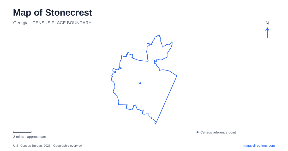
Street tiles load from OpenStreetMap when opened. The blue line shows the 2025 Census boundary.
- State
- Georgia
- Population · July 2025
- 61,337
- Land area
- 37.4 sq mi
- Water area
- 0.6 sq mi
Stonecrest combines the large roads and shopping districts near Interstate 20 with a landscape of exposed rock, wooded trails, waterways, and historic communities farther into its interior. That combination makes a single commercial landmark an incomplete introduction. A useful map needs to show how Turner Hill Road, Panola Road, and the other main corridors relate to the Arabia Mountain area and the South River. Those relationships explain the variety of places encountered within a relatively small part of metropolitan Atlanta.
Interstate approaches and the roads beyond them
Interstate 20 is the clearest regional reference. The city's transportation plan identifies a concentration of larger roads near the interstate, including Covington Highway, Turner Hill Road, and Panola Road. Evans Mill Road and Snapfinger Road provide other important named corridors. Mall Parkway belongs to the network around the large shopping area, giving that district its own road pattern rather than a traditional downtown street grid.
On a Stonecrest map, these roads are best read as a framework for reaching particular districts. Turner Hill Road and Mall Parkway identify the commercial setting, while Klondike Road becomes especially useful when the destination shifts toward the mountain preserve. Panola Road serves another series of destinations to the west. Keeping those named corridors visible while enlarging the map makes the transition from regional access to local geography easier to follow.
The transportation plan also distinguishes collector roads such as Salem Road and Thompson Mill Road from the larger corridors. That hierarchy reflects a practical difference in the landscape: a broad regional approach may lead into a much smaller network of neighborhood streets. It is more informative to describe an address through its nearby named road than to assume that the entire city shares the scale of the interstate district.
Arabia Mountain as a landscape, not just a summit
Davidson-Arabia Mountain Nature Preserve includes the exposed rock of Arabia Mountain as well as lakes, woodland, and trails. The nature center is on Klondike Road, and the preserve has multiple places associated with different parts of an outing. A mountain label on a map therefore represents only one element within the larger protected area.
Stonecrest's outdoor geography becomes clearer when the preserve is separated from the Arabia Mountain National Heritage Area. The latter is a broader cultural and natural landscape containing multiple destinations and communities. Likewise, the Arabia Mountain Path is a multi-use route network, not simply the hiking trail up the rock surface. These overlapping names are related, but they describe different extents and purposes.
This distinction matters when selecting a map scale. A close view helps explain a walk within the preserve; a wider view reveals how the paved path connects destinations across jurisdictional boundaries. The city's parks plan notes that the network crosses different ownerships and jurisdictions. Following its name beyond one park is therefore part of understanding the route, rather than evidence that every trail segment belongs to the same facility.
Panola Road and the South River setting
Panola Shoals Trailhead is on Panola Road, giving the river landscape a recognizable road-based reference. The municipal parks directory lists it separately from Miller Grove, also on Panola Road, and from Browns Mill Park and the aquatic center on Browns Mill Road. Those names describe different recreation environments: a trailhead, a neighborhood park, and a larger recreation complex.
For someone exploring Stonecrest, the South River provides another organizing feature alongside the interstate and exposed mountain rock. It helps connect an outdoor destination to a watercourse rather than treating it as an isolated point. Meanwhile, the two Browns Mill facilities have separate street numbers, reinforcing that a park complex and an aquatic destination can share a corridor without being the same site. This is a useful local distinction when describing where an outing begins.
Flat Rock and the cultural landscape
Flat Rock adds a historical dimension to the area around the mountain. The community's African American history is preserved through places including the Bryant homestead, the historic cemetery, and the former church site. The homestead dates to 1917 and houses the archives' collections. Nearby Lyon Farm forms part of the wider history explored by the heritage area's interpretation.
These places show why a map of Stonecrest should include cultural sites alongside parks and commercial roads. The historic community is not merely background scenery around a recreation destination; it has its own geography and surviving landmarks. Read the region through several connected layers: interstate approaches, local road corridors, mountain and river landscapes, and the sites that preserve community history. That approach gives each destination context and makes the city understandable as more than either a shopping district or a single mountain attraction.
Map and statistics: U.S. Census Bureau, 2025 Gazetteer, January 2025 generalized place boundaries and Vintage 2025 population estimates. Local references: City of Stonecrest; Arabia Mountain Heritage Area Alliance. Article prepared by Maps & Directions.