Map of Stillwater
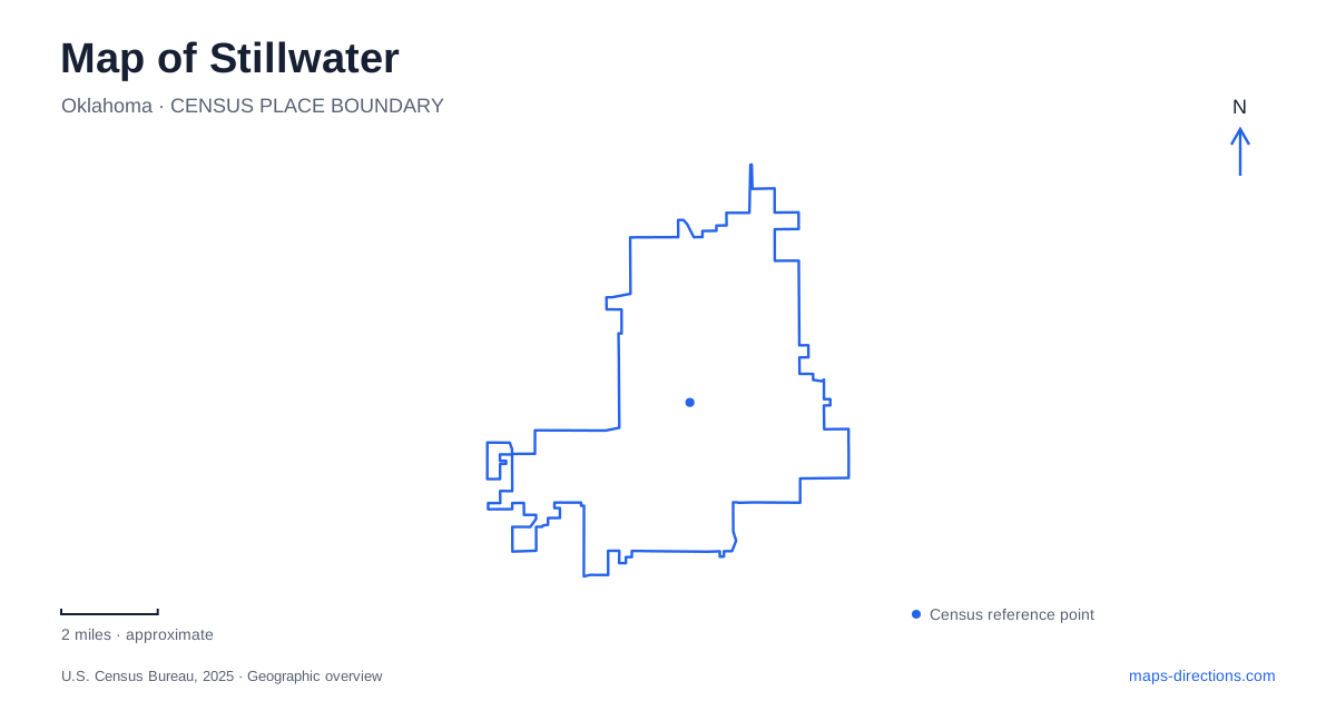
Street tiles load from OpenStreetMap when opened. The blue line shows the 2025 Census boundary.
- State
- Oklahoma
- Population · July 2025
- 50,046
- Land area
- 29.8 sq mi
- Water area
- 0.5 sq mi
Stillwater is a university city with a downtown cultural district and several distinct outdoor landscapes. Oklahoma State University provides a major set of landmarks, but its presence also reaches into downtown through the Museum of Art and other partnerships. Boomer Lake offers a northern recreation anchor, while Couch Park and Hoyt Grove create a different trail setting to the southeast. Farther out, Lake McMurtry belongs to a regional outing rather than a short extension of a downtown walk.
Downtown has its own cultural geography
The visitor bureau describes downtown as the area between Duncan and Lowry streets, extending from Fourth to Fifteenth avenues. Within that framework, the arts institutions occupy several streets rather than a single campus. The OSU Museum of Art is at 720 South Husband Street, Modella Art Gallery at 721 South Main Street, and Prairie Arts Center at 1001 South Duck Street. The public library is farther along Duck at 1107.
These addresses are useful for understanding how the district works. Main Street supplies a familiar commercial spine, while Husband and Duck contain destinations that reward looking beyond the principal shopping blocks. A cultural visit to Stillwater can therefore combine institutions with the surrounding town rather than remain inside university grounds. The numbered avenues help organize this part of the map, especially when moving between the museum area and the arts center farther south.
An art museum inside a former post office
The Museum of Art occupies Postal Plaza, built in 1933 as a federal post office. The university's account explains that postal operations ended in 1978, after which the building accommodated offices and other uses before its eventual conversion. The university acquired the property in 2010, and the museum began welcoming visitors during a soft opening in 2013.
The building itself contains evidence of that sequence. An addition on the north side dates to 1967, and part of the original exterior brickwork remains visible inside the northern gallery. That makes the museum more than a container for exhibitions: it is also a place to observe how an older downtown structure expanded and changed function. Its address on Husband Street places university art within the everyday street network.
The early college and its southeast corner
Old Central supplies a different historical anchor. Dedicated in 1894, it was the first permanent building on the Oklahoma Agricultural and Mechanical College campus. The university records that residents wanted the college building close to the existing town, an important clue to the early relationship between settlement and campus. It initially accommodated a library, laboratory, classrooms, and other functions in one structure.
The southeast campus area near Knoblock and University avenues also has a long association with performance. The university traces that tradition from assembly space in Old Central to later facilities, including the McKnight Center for the Performing Arts. Reading this corner of Stillwater through its educational and cultural buildings gives a different impression from a map dominated by athletic venues. It connects the university's first multipurpose building with the continued importance of public gathering and performance.
Boomer Lake and separate Kameoka segments
Boomer Lake Park is associated with Washington Street and Lakeview Road. The Kameoka Trail corridor includes a three-mile loop around the lake, and a southern continuation passes the dam and Boomer Creek toward West Franklin Lane and North Husband Street. The city explicitly describes the wider corridor as containing disconnected segments, so it should not be assumed to form one uninterrupted path across town.
Another segment begins on the east side of Perkins Road near the bridge at East Ninth Avenue, passes through Hoyt Grove Park, and reaches Couch Park. For a map of Stillwater, that specific route is more useful than simply coloring every Kameoka label as one continuous line. The northern lake circuit and southern park segment are separate choices with different surrounding streets and scenery.
Park grounds and a lake farther northwest
Couch Park, listed at 1270 East Alcott Street, contains playground space, pavilions, ball fields, and tennis courts. Its shade trees and park paths make it a recreation destination in its own right, not merely an endpoint for the trail. The connection with Hoyt Grove gives the two green spaces a practical relationship for walking and cycling.
Lake McMurtry lies about ten miles northwest of Stillwater and is managed by Lake McMurtry Friends. Its recreation area requires a daily permit or annual membership and offers hiking and mountain-biking opportunities around a larger lake setting. Keeping that outing separate from the urban parks makes planning more realistic. Downtown art, the university's historic corner, the Boomer Lake circuit, and the southeastern parks each offer a distinct way to understand the city before extending a trip into the surrounding countryside.
Map and statistics: U.S. Census Bureau, 2025 Gazetteer, January 2025 generalized place boundaries and Vintage 2025 population estimates. Local references: Visit Stillwater; Oklahoma State University; City of Stillwater; Lake McMurtry Friends. Article prepared by Maps & Directions.