Map of State College
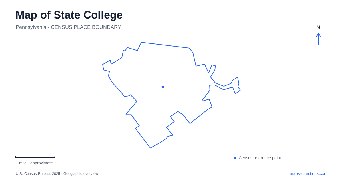
Street tiles load from OpenStreetMap when opened. The blue line shows the 2025 Census boundary.
- State
- Pennsylvania
- Population · July 2025
- 40,844
- Land area
- 4.6 sq mi
- Water area
- 0.0 sq mi
State College is closely associated with Penn State, but its map includes several distinct landscapes: a downtown facing the university, residential historic districts, an athletic field adapted from a sinkhole, and a museum integrated into an arboretum. College Avenue and Allen Street offer a useful starting point because their meeting place has connected town and campus since the institution's earliest years. From there, individual streets reveal how the surrounding community developed alongside the university.
College Avenue and the campus gateway
When the Farmers' High School of Pennsylvania opened in 1859, the campus and village had no substantial physical barrier between them. Penn State's historical account explains that roaming livestock prompted the installation of wooden fencing, with a gate and stile at the main entrance near today's Allen Street and College Avenue intersection. What is now a familiar pedestrian landmark began with the practical problem of keeping animals off the grounds.
The entrance evolved from that rural arrangement to stone pillars and iron gates. Its enduring position helps explain the relationship between downtown State College and the campus: a long-established crossing connects a commercial street to the university's front landscape. The meeting of Allen and College is therefore both an orientation point and a surviving axis of town-and-campus life.
Early campus photographs also place the original main building within a much simpler landscape. That building accommodated classrooms, offices, and living quarters, rather than serving only the administrative role associated with a modern university landmark. Reading the old campus as a small institution helps make sense of the historic entrance's prominence.
The Hollow beneath the downtown streets
Memorial Field has an unusually direct connection to local terrain. The school district acquired its site in 1914, when the depression south of the Fraser Street school building was known as the Hollow. Located between Foster and Nittany avenues, the sinkhole had been used as a dump before its conversion to school recreation.
The transformation proceeded gradually. Ground leveling and early sports facilities preceded more substantial Depression-era work. In 1933, salvaged wooden bleachers from New Beaver Field provided permanent seating, while later improvements involved Works Progress Administration labor. The district's history records that the stadium walls used only a fraction of the rock removed during development.
This background makes Memorial Field more than a sports symbol on a State College map. Its position below surrounding streets reflects a landform that was adapted, rather than erased. The school district subsequently worked with the borough on drainage improvements in 2015, reinforcing the continuing relationship between the athletic facility and the natural drainage feature beneath it.
College Heights beyond the campus edge
College Heights extends north from Park Avenue toward Cherry Lane, with North Atherton Street dividing its eastern and western portions. The borough describes the neighborhood's wider extent as Holmes Street to Glenn Road. Its historic district occupies a more selective boundary within that larger residential area, so the neighborhood name and designated district do not describe precisely the same footprint.
The land once belonged to the wider Centre Furnace landscape, associated with ironmaking beginning in 1792. Residential growth became closely tied to the university's expansion from the 1890s through the 1940s. Street names such as Woodland Drive, Arbor Way, and Sunset Road express the garden-like character promoted for the neighborhood.
Housing came from several sources, including mail-order designs, published plans, and local architects and builders. That mixture explains the variety within an apparently unified residential setting. For State College visitors interested in architecture, the neighborhood offers a different historical subject from the institutional buildings across Park Avenue: the homes developed around a growing university community.
Art and landscape at the Arboretum
The Palmer Museum of Art opened its new building at the Arboretum on June 1, 2024. Older references to its Curtin Road home describe a previous location. The new setting places the museum beside the H.O. Smith Botanic Gardens, creating a cultural destination organized around both galleries and outdoor landscape.
The building includes interlocking pavilions faced in regional sandstone, outdoor terraces, and a sculpture path. A bridge connects its exhibition and education wings, while framed views bring the surrounding gardens into the visitor's experience. These architectural relationships matter when reading the site: the museum forms part of the Arboretum landscape rather than standing as an isolated campus block.
Taken together, the Allen Street gateway, the Hollow's athletic transformation, College Heights, and the museum's garden setting reveal several scales of State College. The town is shaped by education, but its streets also preserve the effects of livestock management, geology, residential design, and changing cultural institutions.
Map and statistics: U.S. Census Bureau, 2025 Gazetteer, January 2025 generalized place boundaries and Vintage 2025 population estimates. Local references: Penn State; State College Area School District; Borough of State College; Penn State Office of Physical Plant. Article prepared by Maps & Directions.