Map of Stamford
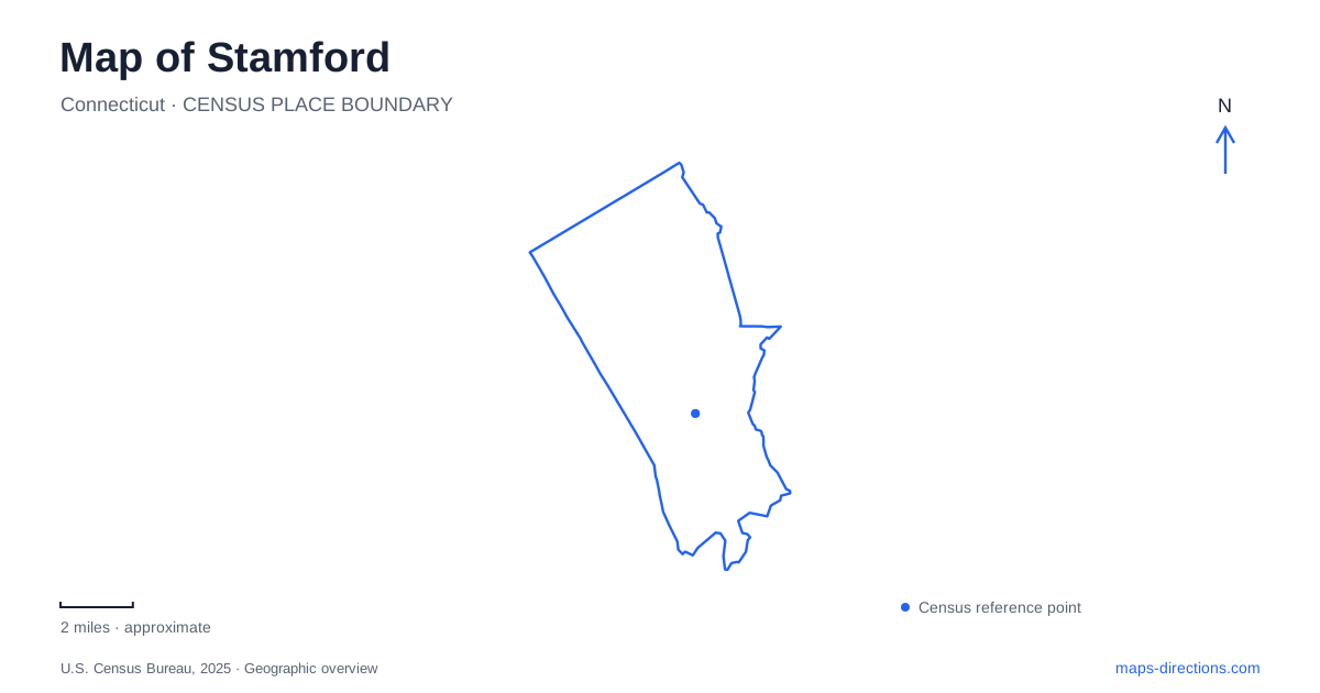
Street tiles load from OpenStreetMap when opened. The blue line shows the 2025 Census boundary.
- State
- Connecticut
- Population · July 2025
- 139,535
- Land area
- 37.6 sq mi
- Water area
- 14.4 sq mi
Stamford stretches from a developed Long Island Sound shoreline to wooded landscapes farther inland. Its transportation center, downtown river park, coastal recreation grounds and northern arboretum show different sides of that geography. The city is often encountered first through a train journey or a business address, but its map contains substantial changes in landscape over a relatively compact regional setting. Following the river and separating the shoreline from the northern woodlands gives a fuller picture of how urban development and open space coexist here.
Rail creates a regional junction
The main transportation center belongs to Metro-North's New Haven Line and also serves Amtrak. The New Canaan Branch introduces a second pattern, turning the rail network toward inland neighborhoods. Glenbrook and Springdale are local stops on that branch before the line continues through Talmadge Hill to New Canaan.
This branching geography explains why the city's rail map has more structure than a single stop between New York and New Haven. The main station handles regional movement along the coastal corridor, while the branch stations relate to particular inland communities. Their names identify neighborhood centers as well as railway platforms.
Connecticut's transportation department treats the Stamford Transportation Center separately from the smaller Glenbrook and Springdale stations in its station analysis. That administrative distinction reflects their different scales and functions. On an itinerary, the branch line can make an inland destination relevant to the rail network even when it is not near the principal station. The network's shape is therefore as important as the distance along the main line.
A restored river through downtown
Mill River Park grew out of a long effort to recover public space around the downtown waterway. A 1998 corridor study set out a vision for new green space, and subsequent work combined land-use changes, landscape design and river restoration. The removal of the Mill Pond dam and a remaining dam at Pulaski Street in 2009 changed the water corridor itself.
The resulting park is more than a lawn placed beside an unchanged channel. It represents a deliberate reworking of river conditions and adjacent urban land. The city's financial history records the first major park phase opening in 2013, following the earlier restoration work. These separate stages help explain why the landscape combines ecological objectives with paths and public gathering areas.
The municipal park listing identifies pedestrian and bicycle routes, performance space, a carousel pavilion and a skating rink and fountain. In central Stamford, those facilities make the river a place to spend time rather than merely an obstacle crossed by streets. The park's history connects its present recreational use with the engineering and public decisions that made it possible.
Beaches and wildlife at Cove Island
Cove Island Park occupies a shoreline setting at 1125 Cove Road. The city lists two sandy beaches, open lawns, a walk-and-run trail and a separate cycling and rollerblading path, alongside sports and picnic facilities. This combination places active recreation beside a coastal environment rather than within an entirely inland park.
The wildlife sanctuary is an important part of that identity. Its recognized bird habitat gives the park another purpose beyond swimming or playing a game. A visit can move between open recreational ground and areas where observing wildlife becomes the main activity. That mixture is worth retaining on a map instead of reducing the entire property to a beach symbol.
Cummings Park provides another Long Island Sound setting, reached from Shippan Avenue. It is a separate coastal park, with its own relationship to the surrounding streets. Together, these grounds show that Stamford's shoreline recreation is distributed among named public places rather than concentrated at one city beach.
Northern woodland became a public arboretum
Bartlett Arboretum and Gardens began with Francis A. Bartlett's purchase of woodland in 1913. He used the property as a residence, training site and research setting for his tree-care company, assembling woody plants from several parts of the world. The collection's origins therefore combine horticulture, professional education and a private landscape.
After state acquisition, the arboretum opened to the public in 1966. Ownership later transferred to the city, with the arboretum association responsible for its operation. Its grounds include gardens, wildflower meadows, woodland paths and red-maple wetlands with boardwalks. These are different environments within one property, each revealing a different relationship between cultivated collections and native habitat.
The address at 151 Brookdale Road places this landscape well beyond the downtown river-park setting. A map of Stamford gains depth by showing both: one is a restored urban water corridor with gathering spaces, while the other grew from a research collection within northern woodland. The rail junction and coastal parks add further layers to a city whose geography extends far beyond its office skyline.
Map and statistics: U.S. Census Bureau, 2025 Gazetteer, January 2025 generalized place boundaries and Vintage 2025 population estimates. Local references: Connecticut Department of Transportation; Metropolitan Transportation Authority; Mill River Park Collaborative; City of Stamford; Bartlett Arboretum and Gardens. Article prepared by Maps & Directions.