Map of St. Petersburg
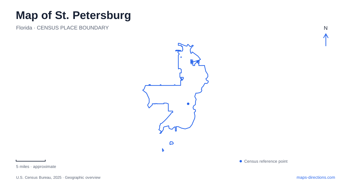
Street tiles load from OpenStreetMap when opened. The blue line shows the 2025 Census boundary.
- State
- Florida
- Population · July 2025
- 264,033
- Land area
- 61.8 sq mi
- Water area
- 73.7 sq mi
St. Petersburg has a waterfront downtown, but its map tells a broader story than a single promenade. Central Avenue draws the eye inland from Tampa Bay, arts districts spread across the numbered street grid, and preserves protect very different landscapes to the north and south. The downtown shore is on the bay; the Gulf beaches reached through the western part of the peninsula belong to a separate coastal setting. Understanding that east-to-west relationship makes the city's cultural destinations, transit corridor and open spaces much easier to place.
Central Avenue and the arts district pattern
The arts map of St. Petersburg shows a sequence of districts rather than one concentrated museum quarter. The Waterfront, Central, EDGE and Grand Central areas extend across the urban grid, while the Warehouse Arts District sits farther south and Historic Kenwood appears north of the western arts corridor. Central Avenue is the useful organizing line through this arrangement. Numbered avenues parallel it, and numbered streets provide the cross references needed to follow a gallery or restaurant address.
The district map also shows how the interstate interrupts the otherwise legible grid. I-275 and its downtown connections occupy a different scale from the smaller blocks used for walking between businesses. A trip along the arts corridor therefore has two spatial layers: the wider relationship between districts and the fine detail of crossings, blocks and storefront addresses. Leaving both layers visible helps explain why destinations with similar cultural descriptions can be separated by many city blocks.
A bayfront made of parks and a projecting pier
Along the downtown shore, the map names Vinoy Park and North Shore Park to the north, with Demens Landing and Albert Whitted Park farther south. These names give the waterfront a sequence of recognizable places. Beach Drive and Bayshore Drive serve different positions within that shoreline setting, and the pier extends out from the land rather than running along it.
The St. Pete Pier's own site map includes Spa Beach, a playground, a splash pad, a coastal thicket, the Tampa Bay Watch Discovery Center and a fishing deck. This is a landscape with multiple uses, from shoreline recreation to environmental interpretation. The plaza and lawn spaces also explain its broad footprint on the map. A visit can stay near the beach and playground or continue toward the outer point, with different views of the bay and downtown along the way.
For drivers entering St. Petersburg from I-275, the pier's published approach uses I-375, which becomes 4th Avenue North toward Beach Drive. Its parking guidance also identifies the Sundial garage and Al Lang lot as alternatives to the pier lots. Those choices spread arrivals across the downtown street network instead of concentrating every visit on the same waterfront driveway.
The cross-peninsula transit corridor
SunRunner connects downtown with the Central Avenue business districts, Pasadena and St. Pete Beach. The route diagram follows the numbered streets westward and then names Gulfport Boulevard, Sunset Drive, Sun Island Drive and Boca Ciega Drive as it approaches the beach side. This sequence makes the transition from the urban grid to the coastal causeway setting particularly clear.
The service uses the 1st Avenue North and South corridor through the city. PSTA's station list distinguishes stops on the two sides, including paired locations at 13th, 22nd, 49th and 58th streets. A westbound and eastbound journey may therefore involve different boarding positions even when the cross street is the same. The route supplies a useful geographic connection between bayfront activities and Gulf-side destinations without treating the two shorelines as interchangeable.
Lake Maggiore's wooded edge
South of the central districts, Boyd Hill Nature Preserve adds another dimension to St. Petersburg. Its trails and boardwalks pass through hardwood hammocks, sand pine scrub, pine flatwoods, willow marsh and swamp woodland near Lake Maggiore. These are distinct habitats within one urban preserve, not a continuous lawn around a lake.
The Friends organization describes a six-mile trail and boardwalk network and a birds-of-prey program operated in partnership with the city. The preserve was formerly called Lake Maggiore Park and received its present name in 1958. That history connects the familiar recreational landscape to a longer local effort to retain natural environments within a growing urban area.
The northern bay's marshes and cultural history
Weedon Island Preserve occupies roughly 3,000 acres on Tampa Bay in northern St. Petersburg. Marine environments dominate, with uplands interspersed among them. Indigenous communities lived here for thousands of years, and the Cultural and Natural History Center interprets that human history alongside the coastal ecology.
The preserve's address is on Weedon Drive Northeast, and its visitor network includes trails, boardwalks and paddling access. The surrounding wetlands also function as a natural floodplain that helps reduce storm surge and coastal erosion. Check the county's route guidance for Bay Boardwalk and the north paddling trail separately from other paths through the preserve. Visitor choices should be read against the route guidance: the protected landscape is extensive, but its usable paths are a smaller, managed network within it.
Map and statistics: U.S. Census Bureau, 2025 Gazetteer, January 2025 generalized place boundaries and Vintage 2025 population estimates. Local references: St. Petersburg Arts Alliance; Discover Downtown / City of St. Petersburg; City of St. Petersburg; PSTA; Friends of Boyd Hill Nature Preserve; Pinellas County. Article prepared by Maps & Directions.