Map of St. Paul
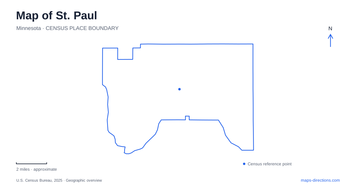
Street tiles load from OpenStreetMap when opened. The blue line shows the 2025 Census boundary.
- State
- Minnesota
- Population · July 2025
- 306,684
- Land area
- 52.0 sq mi
- Water area
- 4.1 sq mi
St. Paul's streets follow a landscape of riverbanks, bluffs, and distinct neighborhood centers. The Mississippi provides the main geographical reference, but the names of districts can be misleading without that context: the West Side lies south of downtown. Lowertown preserves a major rail gateway, Summit Avenue occupies higher ground, and the state capitol stands on another rise north of the center. These relationships explain the city's layout more effectively than imagining a single level grid spreading evenly from downtown.
The West Side is across the river
The West Side takes its name from its position on the Mississippi's west bank, even though it lies south of downtown. The river's course, rather than a simple compass division of the city, explains the neighborhood name. This is a useful distinction when interpreting directions that refer to the West Side as a specific community.
Harriet Island Regional Park provides access to the waterfront there, while District del Sol expresses the area's strong Latine cultural identity through businesses and community activity. The Wabasha Street Caves add another local historical destination. The neighborhood combines river recreation with an established residential and commercial life, rather than functioning only as a place to view the downtown skyline.
A map of St. Paul that labels both banks clearly helps retain these relationships. The river separates places that may be close visually, yet it also supplies the public spaces and crossing points that connect their histories.
Lowertown's transportation landmark
Union Depot stands at 214 Fourth Street East in Lowertown. The restored complex serves rail and bus passengers while retaining the scale and architectural character of a major historic terminal. Its large waiting spaces and multiple approaches reflect a building designed to handle transportation at a regional level.
The Green Line light rail stop is directly in front of the building on Fourth Street. Other arrival areas relate to Kellogg Boulevard and the lower-level Carriage Way accessible from Sibley Street. These different sides of the complex explain why a passenger's approach can depend on the mode of travel rather than simply the building's primary address.
Union Depot also demonstrates how a historic transport building can continue to organize a neighborhood after its original peak period. It remains a practical gateway into St. Paul, with local circulation and longer-distance journeys meeting in the same restored setting. The surrounding Lowertown streets therefore belong to both a neighborhood landscape and a larger passenger network.
Summit Avenue's bluff-top architecture
The James J. Hill House stands at 240 Summit Avenue, on a bluff overlooking the river and city. Completed in 1891, the mansion reflects the wealth and influence of the builder of the Great Northern Railway. Its Richardsonian Romanesque design uses rough stone, rounded arches, and a substantial building mass to create a striking presence on the elevated site.
The house was designed with finished facades on both the avenue side and the river-facing side. That decision is revealing: the building was meant to be seen from more than the street in front of it. The bluff gave its architecture a relationship with the wider city below.
Summit Avenue is consequently useful as both a route and a historical landscape. The house's position connects domestic architecture with rail wealth, topography, and public visibility. Reading the elevation alongside the street address gives a fuller understanding of why this part of St. Paul developed such a recognizable identity.
A capitol on Wabasha Hill
The Minnesota State Capitol occupies Wabasha Hill several blocks north of downtown. Cass Gilbert's design opened to the public on January 2, 1905, after nine years of construction. Its elevated site gave the state government building a strong presence above the surrounding streets.
Gilbert's ideas extended beyond the building to approaches, open spaces, and views connecting it with the city. The planned relationships included Cedar Street toward downtown and routes toward the Summit Avenue area. The capitol can therefore be understood as part of a designed civic landscape, not just an isolated domed structure. The surrounding open ground and street alignments contribute to how the building is experienced from a distance.
Como Park revolves around a lake
Como Regional Park covers approximately 450 acres around Como Lake. Its facilities include a lakeside pavilion, paved trails, a fishing pier, a nonmotorized boat launch, athletic areas, and the Marjorie McNeely Conservatory. These uses occupy a substantial landscape rather than one compact attraction site.
The lake supplies a clear reference for the park's recreational geography, while the conservatory adds a cultivated plant environment to the wider grounds. A St. Paul map that includes Como alongside the riverbanks, Lowertown, Summit Avenue, and the capitol shows several distinct kinds of public space. Water, elevation, transportation, and civic design each created a different center within the city.
Map and statistics: U.S. Census Bureau, 2025 Gazetteer, January 2025 generalized place boundaries and Vintage 2025 population estimates. Local references: Visit Saint Paul; Union Depot; Minnesota Historical Society; Minnesota Capitol Area Architectural and Planning Board; City of Saint Paul. Article prepared by Maps & Directions.