Map of St. Louis Park
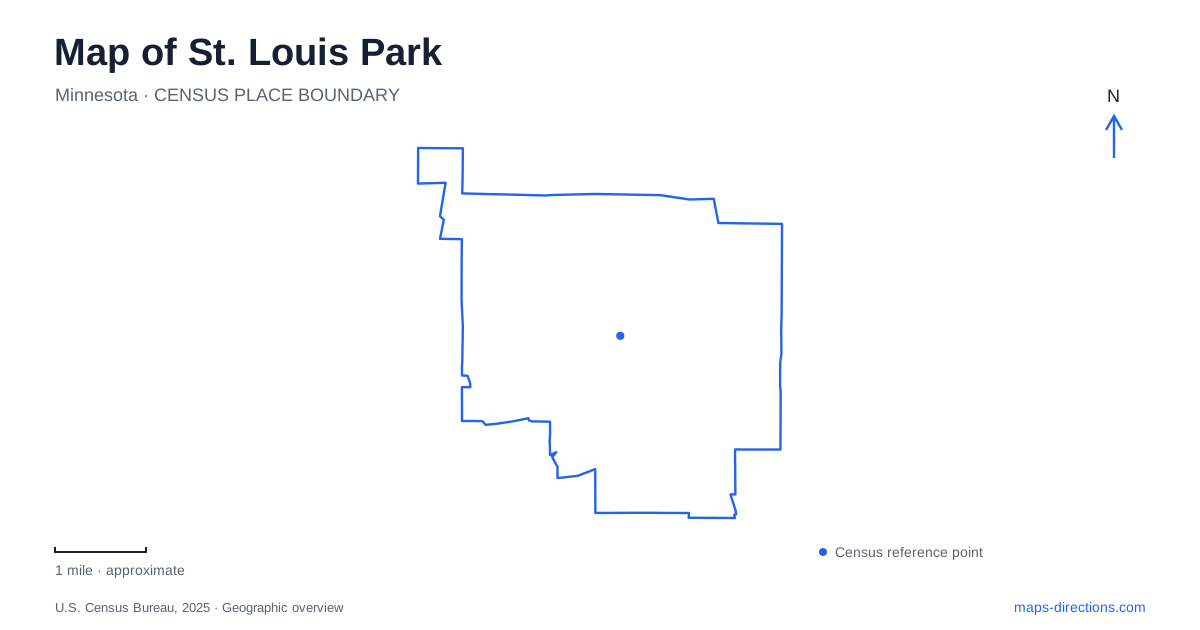
Street tiles load from OpenStreetMap when opened. The blue line shows the 2025 Census boundary.
- State
- Minnesota
- Population · July 2025
- 50,027
- Land area
- 10.6 sq mi
- Water area
- 0.2 sq mi
St. Louis Park contains several different landscapes within its suburban street network: a substantial nature preserve, a recreation campus beside a commercial district, and remnants of an industrial and railway past. Westwood Hills and Wolfe Park are especially useful orientation points because they occupy different parts of the city and serve different purposes. The concrete grain elevator near Highways 7 and 100 adds a landmark of another kind, recalling the area's connection with grain handling rather than residential development alone.
A preserve between major highways
Westwood Hills Nature Center is at 8300 West Franklin Avenue, south of Interstate 394 and east of Highway 169. The city describes a 160-acre natural area containing marsh, woodland, and restored prairie. The position between major transport corridors makes its interior landscape particularly striking on a map: a large patch of water and vegetation sits within an otherwise developed setting.
The preserve includes wood-chip paths, boardwalks, and hard-surface accessible trails. Those surfaces correspond to different ways of moving through the site rather than a single standardized loop. The city's natural-resource planning describes Westwood Lake, marshes, a maple-basswood forest, and the interaction of slope, moisture, and soils. Looking at the lake and wooded hills together helps explain why the trail network changes direction and character as it crosses the preserve.
From golf course to environmental education
Westwood Hills also records a change in the use of land in St. Louis Park. A country club opened here in 1928 with 27 holes. By the middle of the 1950s it was no longer profitable, and the land later served as a local day-camp setting. The city began exploring a nature center in 1970, with the first interpretive building opening in 1981.
That chronology gives the restored prairie and educational facilities a human history alongside their ecological role. This is land that has been managed for different purposes, not a place wholly untouched by development. A newer interpretive center is listed among the city's completed projects, designed to connect visitors with the landscape while reducing resource use. The older golf-course identity and later conservation work together explain the present preserve more accurately than either story on its own.
Wolfe Park connects recreation and a town green
Wolfe Park lies at 3700 Monterey Drive between the Excelsior & Grand development and the Rec Center. Its fishing pond, paths, playground, and courts form an active community landscape. The Veterans' Memorial Amphitheater is terraced into the southern hillside and links the park with the Excelsior & Grand Town Green. This physical relationship is useful for understanding how public open space meets the surrounding commercial and residential development.
The Rec Center campus supplies another set of facilities, including indoor ice arenas and an outdoor aquatic park. The adjacent Recreation Outdoor Center, commonly called the ROC, is a covered multipurpose space used for seasonal activities. A map of St. Louis Park therefore benefits from distinguishing the broader recreation campus from the pond, amphitheater, and park paths. They are neighboring components of one area, with different kinds of activity concentrated in each.
Railway crossings shaped the older neighborhood
The local historical society places the former Minneapolis and St. Louis depot on 36th Street west of Brunswick, between two railway lines. The depot was damaged by fire and demolished in 1964, so it should be understood as a historical location rather than an existing visitor building. The surrounding street relationships remain useful for interpreting the older transport landscape.
The society's account describes how north-south movement was once constrained by the tracks, with crossings at the streets now called Brunswick and Wooddale. This makes the railway history of St. Louis Park tangible at neighborhood scale. Railways were not only lines connecting the city to distant markets; they also affected the routes residents could take between local destinations. The former depot area provides context for that relationship even after the station itself has disappeared.
An industrial landmark at the highway junction
The Peavey-Haglin Experimental Concrete Grain Elevator stands at the southeast corner of Highways 7 and 100. The Library of Congress documents it through the Historic American Engineering Record and also identifies it as the Nordic-Ware Tower. The two names can therefore refer to the same landmark, with one emphasizing its engineering history and the other a later association.
Its presence adds a vertical industrial reference to the map of St. Louis Park. It belongs in a different category from the city's recreation destinations, yet it helps connect the railway story with the movement and storage of agricultural products. Taken together, the tower, former depot location, Wolfe Park campus, and Westwood Hills show a city whose present landscape has been repeatedly adapted for industry, neighborhood life, recreation, and environmental education.
Map and statistics: U.S. Census Bureau, 2025 Gazetteer, January 2025 generalized place boundaries and Vintage 2025 population estimates. Local references: City of St. Louis Park; St Louis Park Historical Society; Library of Congress. Article prepared by Maps & Directions.