Map of St. Joseph
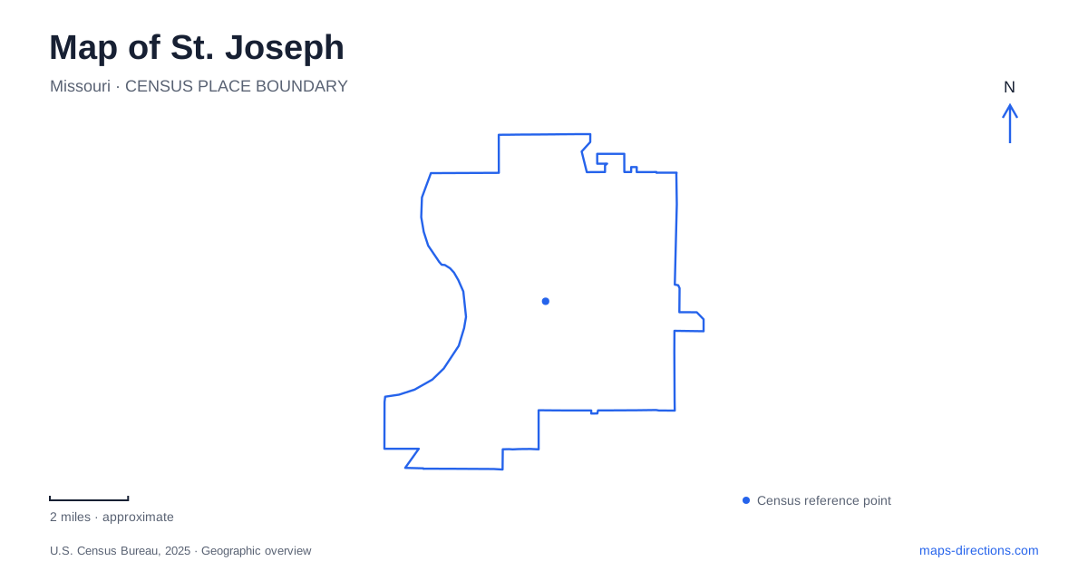
Street tiles load from OpenStreetMap when opened. The blue line shows the 2025 Census boundary.
- State
- Missouri
- Population · July 2025
- 71,001
- Land area
- 44.0 sq mi
- Water area
- 0.8 sq mi
St. Joseph combines an unusually concentrated transportation history with a park system that stretches well beyond its museum district. Penn Street links two important Pony Express sites, while the parkways create a separate network of roads, trails, woods, and recreation grounds. A map becomes more informative when these two patterns are kept visible together: the compact places where westward communication began and the much larger green corridors through which residents move today.
Two Pony Express sites on Penn Street
The Pony Express National Museum stands at 914 Penn Street, on the site of the Pike's Peak Stable. The original stable was built in 1858 for a freight and stagecoach company, then acquired for Pony Express operations in 1860. It supplied horses for the mail service, tying the building directly to the practical work behind the famous relay.
The surviving structure needs a careful historical reading. The original wooden stable was replaced with a brick building in 1888, with some older posts and beams reused. A restoration in 1950 returned the building to that brick-era appearance and established the memorial museum. The site is authentic to the operation, but its present exterior is not simply the unchanged stable of 1860.
Farther along Penn Street, Patee House at 1202 Penn marks the service's eastern terminus. The National Park Service describes the first rider collecting the mail there before heading to a ferry across the river toward Elwood, Kansas. A St. Joseph history route can therefore connect the stable and hotel as complementary parts of one operation: horses and preparation at one site, the ceremonial departure and mail at the other.
Patee House beyond the famous departure
Patee House opened as a hotel in 1858, but its subsequent history is much broader than a single mail service. The building served Union troops during the Civil War, housed women's colleges, and later accommodated clothing manufacture. These changes help explain how a large nineteenth-century building could remain useful through very different phases of the city's economy.
The museum now interprets communications and transportation through objects including vehicles, radios, railway equipment, and a replica express office. The scale of the building allows these subjects to sit within a setting that was itself part of the transportation story. For a map of St. Joseph, Penn Street becomes a particularly strong historical axis because the buildings preserve both specific events and longer patterns of reuse.
A small house with a complicated location history
The Jesse James Home now stands on the Patee House grounds. The city explains that its original location was at 1318 Lafayette Street, on a hill overlooking the hotel. In 1939 it was moved to the Belt Highway as a tourist attraction. After its donation to the historical association in 1977, it returned to the original neighborhood, though not to the original parcel.
Those moves are important when comparing historical accounts with the present map. The house preserves the setting of James's death in 1882 as a structure, but its position within the museum grounds is a later preservation arrangement. Plotting Lafayette Street, the current grounds, and the Belt Highway reveals how tourism and conservation can alter the geography of a historic building without erasing its history.
Parkways as a landscape rather than one road
The city's active transportation plan describes a twenty-six-mile curving park system connecting north and south. It includes urban woodland, playing fields, water features, trails, playgrounds, and roads. The roadway is only one element within that larger landscape.
This distinction is especially useful for a St. Joseph cycling or walking plan. A line labeled parkway can refer to a driving route, while nearby paths provide a different experience within the same corridor. The comprehensive plan identifies strong trail connections between parks and notes mountain-biking opportunities at Krug Park, Corby Park, and the Riverbluffs system. Paved paths and natural-surface routes should consequently be read as separate networks with different terrain.
Recognizable places along the green network
Krug Park is a substantial northern recreation landmark, with a lagoon among its landscaped features. Farther through the system, Corby Grove and the Southwest Parkway recreation facilities provide other reference points. The city's parks inventory places Phil Welch Stadium on Southwest Parkway and King Hill Overlook at the parkway's junction with Mansfield Road.
These named places give the larger green network practical structure. A visitor can choose a park, an overlook, or a sporting destination rather than treating the whole corridor as one continuous attraction. In St. Joseph, the contrast between Penn Street's concentrated museum sites and the extended parkway landscape makes it possible to build a varied outing while understanding why each portion of the city asks for a different map scale.
Map and statistics: U.S. Census Bureau, 2025 Gazetteer, January 2025 generalized place boundaries and Vintage 2025 population estimates. Local references: National Park Service; City of St. Joseph. Article prepared by Maps & Directions.