Map of St. George
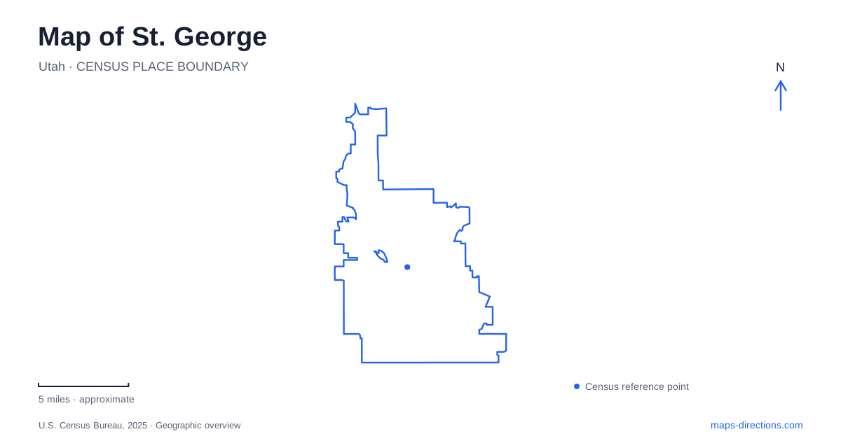
Street tiles load from OpenStreetMap when opened. The blue line shows the 2025 Census boundary.
- State
- Utah
- Population · July 2025
- 108,713
- Land area
- 77.4 sq mi
- Water area
- 0.0 sq mi
St. George's public landscapes range from a historic Main Street setting to red-rock terrain and a river corridor with deep Indigenous associations. These places explain the city at different scales. Downtown buildings show the community's nineteenth-century institutional growth; Red Hills Parkway brings desert geology and water-conscious planting into view; South Dixie Drive leads toward Tonaquint and the Santa Clara River. Using those three settings as anchors creates a map that is more informative than a collection of regional adventure labels. Each has its own streets, history, and pattern of public use.
Reading the Main Street landmarks
The tabernacle at 18 South Main Street is a strong reference for historic St. George. Work began with the cornerstone in 1863, and the building was dedicated in 1876. Its construction involved local stonework, carpentry, and years of effort alongside farming and other demands. The surviving building therefore represents both a place of worship and a substantial community project in a difficult desert setting.
A short address comparison places the children's museum at 86 South Main Street on the same named corridor. These institutional addresses help establish a walkable downtown cluster without requiring every attraction to carry a different neighborhood name. Main Street is the organizing line; the individual building numbers resolve the destinations along it. The tabernacle's long history of community gatherings also helps explain why the surrounding center remains more than a commercial strip.
Nearby visitor information identifies Green Gate Village on Tabernacle Street and Ancestor Square among the historic downtown shopping and dining areas. These names refer to smaller destination groups within the wider center. They are useful for choosing a particular block or courtyard setting, while Main and Tabernacle streets provide the larger orientation. A downtown map can thus be read through both public institutions and the small commercial clusters around them.
Red Hills Parkway and two neighboring landscapes
Above the urban center, Red Hills Desert Garden uses the address 375 East Red Hills Parkway. This is a different kind of public space from the downtown streets of St. George. The Washington County Water Conservancy District developed the five-acre garden to demonstrate water-efficient landscaping suited to the surrounding climate. Its planting collections make desert adaptation visible at the scale of individual paths, beds, and shaded resting places.
The garden also includes a 1,150-foot stream with native and endangered fish, a replica slot canyon, and dinosaur tracks preserved where they were found. These features bring several layers of natural history into a compact site. The planted landscape is carefully curated, while the tracks connect the location to a much older geological record. That combination makes the garden a useful introduction to the region without requiring a long drive into remote terrain.
Pioneer Park occupies a larger neighboring red-rock landscape on the same parkway. The city's park inventory describes a driving loop, trails, picnic facilities, and connections with the Red Hills Parkway Trail and reserve trail system. These are different spatial arrangements from the garden's paths and interpretive displays. The shared roadway places the two destinations together geographically, while their maps distinguish a conservation garden from a broader outdoor park with multiple trail connections.
Tonaquint beside the Santa Clara River
South Dixie Drive provides another perspective on St. George at Tonaquint Park. Municipal interpretive material gives the address as 1851 South Dixie Drive and places the park beside the Santa Clara River, with the river trail running through it. Here the most important organizing feature is a watercourse and its adjoining land, rather than a downtown street or exposed red-rock hillside.
The city's interpretation identifies this area as a former Southern Paiute community and the homeland of the Tunakwint people. Signs discuss the river's importance, the people who used the place, and relationships with local plants. These subjects give the park's name and setting historical depth. The river is not simply a recreational backdrop; it helps explain why this location mattered to communities before the later city developed.
Thunder Junction, also listed on South Dixie Drive, adds an all-abilities recreation destination to this area. Its dinosaur-themed play spaces, water-play features, and train ride occupy a purpose-built park environment. The relationship between Tonaquint's river setting and Thunder Junction's recreation facilities illustrates how several public uses can share one larger destination corridor. Taken together, Main Street, Red Hills Parkway, and South Dixie Drive reveal St. George through three concrete landscapes: a historic civic center, a desert hillside, and a culturally significant river valley.
Map and statistics: U.S. Census Bureau, 2025 Gazetteer, January 2025 generalized place boundaries and Vintage 2025 population estimates. Local references: Church of Jesus Christ of Latter-day Saints; St George Childrens Museum; Greater Zion Convention and Tourism; Washington County Water Conservancy District; City of St George. Article prepared by Maps & Directions.