Map of St. Clair Shores
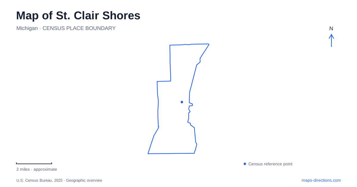
Street tiles load from OpenStreetMap when opened. The blue line shows the 2025 Census boundary.
- State
- Michigan
- Population · July 2025
- 57,872
- Land area
- 11.7 sq mi
- Water area
- 2.7 sq mi
St. Clair Shores presents two distinct commercial landscapes near Lake Saint Clair. Jefferson Avenue follows the waterfront side of the community, where marinas and boating businesses help define the Nautical Mile. Farther inland, the meeting of Nine Mile Road and Greater Mack anchors the downtown district. These places are related through the street network, but they developed around different activities. Understanding that distinction makes a local map much more informative than treating every restaurant or shopping cluster as part of one lakeside downtown.
Jefferson Avenue and the marina district
The city history describes the Nautical Mile as the Jefferson Avenue strip between Nine and Ten Mile roads. The broader marina investment area in the municipal master plan extends from Newberry Avenue, south of Nine Mile, to Rosemary and Beach streets, north of Ten Mile. Both descriptions are useful: one identifies the familiar core, while the other defines a larger planning district around it.
Along this part of St. Clair Shores, the two sides of Jefferson have noticeably different roles. The lake side includes working marinas, restaurants and multifamily housing. Across the road, offices, retailers and lower buildings contribute a more conventional commercial frontage. Boats and shoreline views are therefore part of a mixed working district, rather than evidence that the entire waterfront is a continuous promenade.
Nine Mile Road also marks a transition farther inland. The master plan identifies the stretch from I-94 to Pare Street, east of Harper Avenue, as the Motor Mile. Vehicle dealerships and light industrial activity distinguish it from the boating district. Following Nine Mile toward the lake means passing between different kinds of commerce, with the downtown area forming another recognizable stop along that progression.
The smaller streets around Nine Mack
Downtown St. Clair Shores centers on Greater Mack and Nine Mile roads. The development authority describes its district with boundaries including Pare Street on the west, Defer Street on the east, and Cavalier and 9-Mack drives toward the south. These local street names are more useful for locating a particular downtown business than the lakefront identity alone.
The development plan describes a compact collection of low one- and two-story buildings, with closely spaced premises along Greater Mack. It also records the street's 1992 reconstruction into a curving alignment with protected parking. That shape helps explain why this short commercial area feels different on a detailed map from a straight arterial lined with large lots.
Single-family neighborhoods, apartments along Nine Mile and South Lake High School surround the district. Downtown thus serves an immediate residential setting as well as visitors. Its smaller scale is part of its practical appeal: several errands or food stops can belong to one cluster, whereas a marina appointment on Jefferson is a separate destination within the wider city.
Two waterfront park settings
Blossom Heath Park stands at 24800 Jefferson Avenue between Nine and Ten Mile roads. The park, pier, boat launch and historic Blossom Heath Inn occupy a recognizable waterfront grouping. For the pier, the city directs visitors through the boat launch gate and toward the parking area at the back left. This is a useful detail because the inn, park grounds and water access serve different purposes within the same named area.
Veterans Memorial Park is farther along Jefferson at number 32400. Its lakefront paths, beach, fishing area, pavilions and concert setting give it a different emphasis from the marina surroundings at Blossom Heath. A visit to St. Clair Shores can involve either park, but the addresses make clear that they are separate waterfront stops.
Access is an essential part of planning these visits. The city requires resident park passes for its waterfront parks; passholders may bring guests, and certain special events have separate access arrangements. Nonresidents cannot simply buy the regular resident pass. Checking the rules for the specific occasion is therefore necessary before treating either park as an unrestricted public stop on a shoreline tour.
A farmhouse moved by freeway construction
The Selinsky-Green Farmhouse Museum adds an inland historical layer to St. Clair Shores. It stands behind the public library at 22504 East 11 Mile Road; the library itself is at 22500. The house represents the settlement history of the area when it was part of Erin Township.
John and Mary Selinsky arrived in 1868 and built the log-frame saltbox house. Their daughter Ernestine and her husband John Green later owned it, and descendants remained until 1974. The property was then acquired for the I-696 and I-94 interchange, prompting the house's relocation to its present site. Its position beside the library is therefore a preservation decision, not the location of the original farm. This small building connects the modern freeway landscape with a household history that would otherwise be difficult to recognize on today's street map.
Map and statistics: U.S. Census Bureau, 2025 Gazetteer, January 2025 generalized place boundaries and Vintage 2025 population estimates. Local references: City of St. Clair Shores. Article prepared by Maps & Directions.