Map of St. Charles
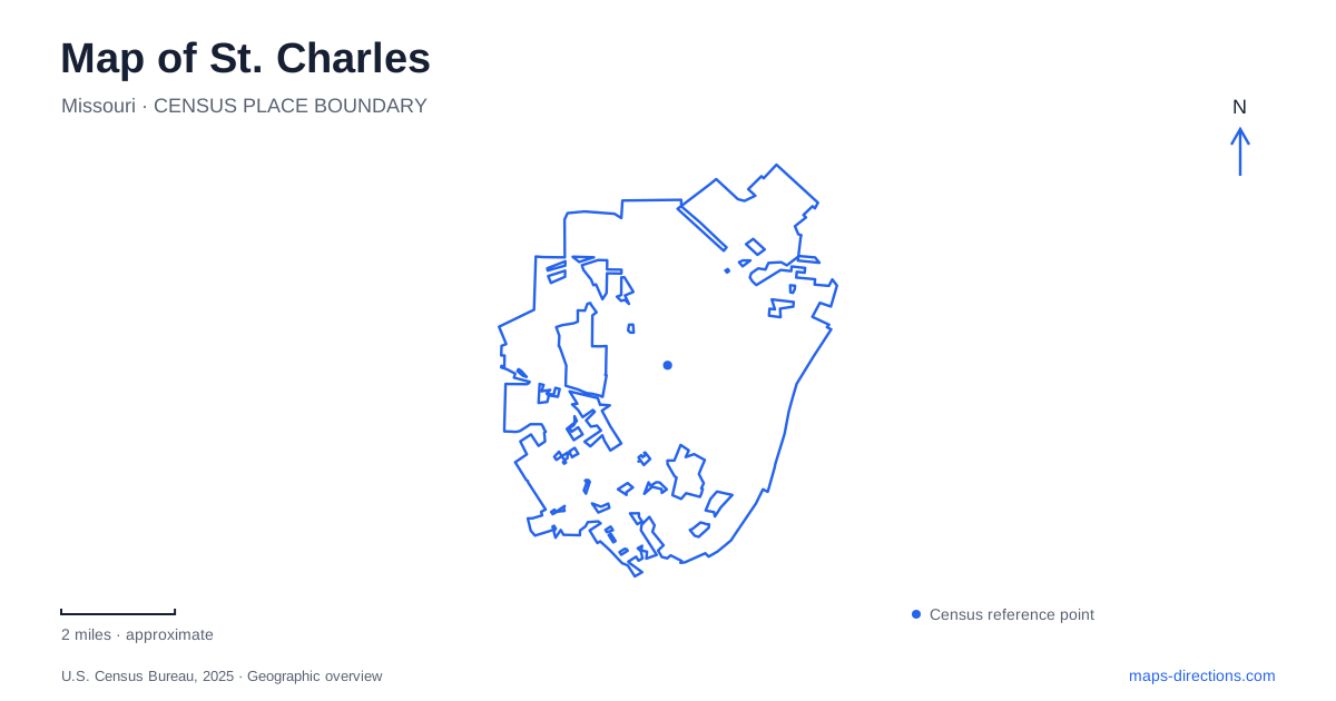
Street tiles load from OpenStreetMap when opened. The blue line shows the 2025 Census boundary.
- State
- Missouri
- Population · July 2025
- 72,561
- Land area
- 25.2 sq mi
- Water area
- 0.5 sq mi
St. Charles makes particular sense when the Missouri River stays in view. Its historic commercial streets, early government buildings, riverside park, and long-distance trail belong to a landscape shaped by river access. Main Street provides the familiar architectural setting, but the city also includes a northern arts district and established neighborhood parkland. Reading those places together reveals more than a preserved shopping street: it shows successive ways of using a trading town's buildings and public spaces.
Government above the shops
The First Missouri State Capitol State Historic Site is at 200 South Main Street. The address places an important government landmark directly within the historic commercial district. Rather than occupying a monumental standalone capitol, legislators met upstairs in adjoining Federal-style brick buildings. A general store and carpenter's shop occupied the lower level.
The state used these temporary quarters from 1821 until the new capitol in Jefferson City was ready in 1826. The arrangement is a useful reminder that the institutions of statehood began within an existing working town. Restored chambers and furnished commercial spaces allow the political and economic functions of the buildings to be considered together.
For a visitor to St. Charles, this makes Main Street more than an attractive backdrop. Its building scale is part of the historical story. The capitol's upper rooms, the businesses below them, and the nearby river describe a place where trade and government once operated in close proximity.
Main Street and the parallel river landscape
Frontier Park stretches beside the Missouri River, with Riverside Drive and the Katy Trail forming important references along its inland side. The park's own map identifies a depot, the Lewis and Clark statue, the Jaycee Stage, and Blanchette Creek. Those features give the open riverfront a sequence of recognizable places rather than one undifferentiated lawn.
The relationship between the park and Main Street is especially useful. One setting concentrates historic buildings and shopfronts; the other opens toward the water and a regional trail. Moving between them changes both the view and the scale of the experience. A short downtown visit can remain within this paired streetscape and riverfront landscape, while the Katy Trail offers the possibility of a much longer journey.
The river also helps explain the settlement's origins. The local tourism bureau describes the early village near a natural sandbar close to today's Boonslick Road and South Main Street, a location suited to landing boats. That historical connection gives the modern park and street layout context: proximity to the water was a practical advantage before it became a reason for a scenic walk.
Frenchtown and the reuse of industrial space
Frenchtown lies north of historic Main Street. Its present identity includes art, antiques, cafes, and other small businesses, but the district also preserves connections with the French-Canadian families and descendants involved in the area's early settlement. It adds another neighborhood-scale setting to St. Charles rather than simply extending the same row of downtown attractions.
The Foundry Art Centre, at 520 North Main Center, gives the arts district a particularly clear example of adaptive reuse. The building began as a 1920s train-car factory associated with American Car & Foundry. Instead of demolition, renovation converted it into an arts center that opened in 2004.
Today, exhibition spaces and working artists' studios occupy the former industrial structure. The broad factory interior provides a different architectural experience from the narrow historic commercial buildings on Main Street. Its continued use also introduces present-day creative work into a visit that might otherwise focus entirely on the nineteenth century. A gallery exhibition and an encounter with a working studio explain the building's current role as directly as its industrial history explains its size.
Blanchette Park beyond the riverfront
Blanchette Park is at 1900 Randolph Street. Acquired in 1914 as the city's first municipal park, it covers about 44 acres and combines recreation facilities with landscaped gathering places. The aquatic facility, playing fields, tennis and pickleball courts, paved trail, and playground serve everyday recreation. Rau Garden and Memorial Hall add settings for ceremonies and community events.
This established park introduces another side of St. Charles. It is a neighborhood and citywide recreation destination, while Frontier Park is strongly identified with the river and historic district. The distinction helps match a visit to its purpose: exploring early state government and riverfront history is a different outing from attending a family event or using sports facilities on Randolph Street.
A map of St. Charles works best when these places remain connected but distinct. Main Street preserves the scale of an early commercial town, Frontier Park exposes its river relationship, Frenchtown demonstrates cultural and industrial reuse, and Blanchette Park shows the development of public recreation beyond the original waterfront core.
Map and statistics: U.S. Census Bureau, 2025 Gazetteer, January 2025 generalized place boundaries and Vintage 2025 population estimates. Local references: Missouri State Parks; City Parks and Recreation; Discover Saint Charles; Foundry Art Centre. Article prepared by Maps & Directions.