Map of Springfield
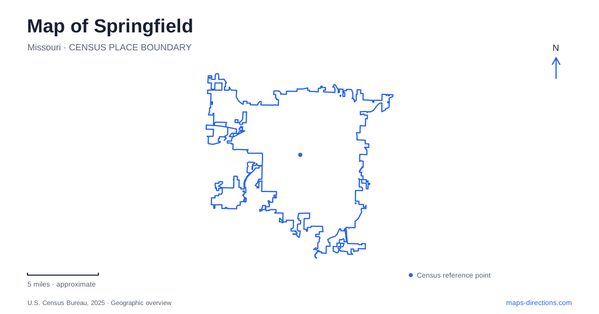
Street tiles load from OpenStreetMap when opened. The blue line shows the 2025 Census boundary.
- State
- Missouri
- Population · July 2025
- 169,847
- Land area
- 83.3 sq mi
- Water area
- 0.6 sq mi
Springfield has a downtown square with national historical connections, a network of creekside trails, and a major Civil War battlefield outside the urban center. These places are often grouped into one visitor itinerary, but their geography and historical purposes differ. Park Central Square belongs to the civic and commercial heart, South Creek links recreation destinations through the city, and Wilson's Creek National Battlefield preserves a landscape near Republic to the southwest. Showing those relationships clearly makes the map useful for understanding the area as well as locating individual attractions.
The square and the stories told around it
The History Museum on the Square stands at 154 Park Central Square. Its location places local interpretation directly within the downtown setting it helps explain. One exhibit examines the 1865 confrontation between Wild Bill Hickok and Davis Tutt on the public square, connecting an episode of western popular history with a specific urban place.
The square's significance does not depend on imagining that every surrounding structure remains unchanged from that period. Instead, the museum and public space allow visitors to connect historical events with the continuing life of downtown. The setting is both a present-day center and a place where earlier stories are interpreted.
This approach gives a map of Springfield more depth than a marker identifying a single famous incident. The square provides an orientation point for several layers of local history, while the museum supplies the evidence and context that cannot be conveyed by a street label alone.
Why Route 66 belongs in the local story
The city's association with Route 66 rests on a documented naming decision. On April 30, 1926, a telegram sent from the Colonial Hotel accepted the number 66 for the proposed highway. The route subsequently received federal approval in November of that year.
This is the basis for the local “Birthplace of Route 66” identity. It refers to the naming history, rather than claiming the transcontinental highway physically began at the square. That distinction helps separate commemoration from road geography: the route connected Chicago and Los Angeles, while the local event helped establish the number by which it became famous.
For Springfield, the road's story adds a twentieth-century transportation layer to downtown history. It belongs alongside the earlier square narratives without replacing them. Historic highway references and commemorative displays should be read as evidence of this wider network, rather than assumed to describe a single unchanged modern driving alignment.
Gardens along South Creek
Nathanael Greene/Close Memorial Park contains a concentration of botanical destinations along the South Creek Greenway. The botanical center, Roston Native Butterfly House, Gray/Campbell Farmstead, Drummond Lake, and Mizumoto Japanese Stroll Garden each add a different purpose to the larger park setting.
The Japanese garden was established in 1985 and covers 7.5 acres. A koi lake, moon bridge, meditation garden, tea house, and carefully arranged planting create a designed sequence of spaces. Its paths are intended for experiencing that garden landscape, distinct from traveling along the greenway through the surrounding city.
This cluster gives Springfield a substantial outdoor destination where horticulture, historic interpretation, and recreation meet. It can be approached as a focused garden visit or as one stop along a longer trail outing. Keeping the individual features visible helps explain why the park contains several named destinations rather than one uniform lawn.
A creek route with connections beyond the park
South Creek Greenway runs east-west and includes a bicycle and pedestrian bridge over Kansas Expressway. It connects with Wilson's Creek Greenway, extending the recreational network toward places including Rutledge-Wilson Farm Park. The connection between the two trail systems was completed in 2016.
The creek corridors provide a different pattern of movement from the main roads. They join parks and natural settings while crossing the developed street network at specific points. The shared Wilson's Creek name, however, does not make every greenway destination part of the national battlefield. The recreational trail system and the federally preserved historical landscape must be located separately.
The battlefield is a regional destination
Wilson's Creek National Battlefield lies southwest of Springfield near Republic. It commemorates the Civil War battle within the wider Trans-Mississippi conflict. The creek valley cuts through the site from north to south, helping explain the terrain around which the historical landscape developed.
The Ray House, built around 1852, is one of the area's surviving prewar structures. Fields, woodland, and restored prairie communities contribute to the battlefield setting, so the site is not simply a museum building with an adjacent memorial. Preservation includes the landscape needed to understand the battle.
Reading the square, highway history, garden cluster, greenways, and battlefield together reveals several scales of place. Downtown supports concentrated historical interpretation, creek paths connect everyday urban destinations, and the battlefield requires a separate regional journey. That structure gives the map a clear purpose without flattening distinct histories into a single sightseeing district.
Map and statistics: U.S. Census Bureau, 2025 Gazetteer, January 2025 generalized place boundaries and Vintage 2025 population estimates. Local references: History Museum on the Square; Springfield Convention and Visitors Bureau; Ozark Greenways; Springfield-Greene County Park Board; National Park Service. Article prepared by Maps & Directions.