Map of Springdale
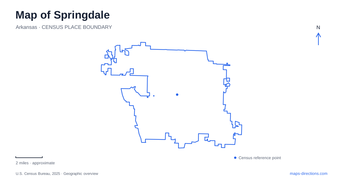
Street tiles load from OpenStreetMap when opened. The blue line shows the 2025 Census boundary.
- State
- Arkansas
- Population · July 2025
- 90,685
- Land area
- 49.8 sq mi
- Water area
- 0.5 sq mi
Springdale's map contains a former town square, a regional history collection and a recreation center created from a trucking terminal. These places show several kinds of change within the same community. Buildings moved for preservation sit near structures that remain on their original sites, while a former workplace now supports swimming, skating and education. The result is a city whose history can be read through the changing purposes of particular parcels, rather than through a single landmark.
Shiloh and the original square
The Shiloh Museum of Ozark History takes its name from the earlier community that became Springdale in the 1870s. Its campus includes the historic town square. The museum's origin was a municipal purchase of Guy Howard's large collection of Native American artifacts in 1965. Volunteers helped organize that material, and the first museum opened in an old public library building in 1968.
The institution subsequently broadened its scope beyond the immediate town. Its present regional emphasis covers six counties of the Arkansas Ozarks. A larger main building opened in 1991, and the collection expanded to include photographs, documents and everyday objects as well as archaeology. This evolution explains why the museum can serve as a starting point for understanding the region without implying that every object or historic structure originated on its present block.
Buildings gathered from different places
The museum campus is especially useful for learning how preservation changes a map. The Ritter-McDonald Log Cabin originally stood in Elm Springs. Dr. John Carter's office came from the Middle Fork Valley, while Cooper Barn came from a farm north of town. Their present proximity is the result of collection and relocation, not proof that they once operated together as a single village.
The Smith-Searcy House and Shiloh Meeting Hall, by contrast, remain on their original sites. The meeting hall stands a block north of the main museum campus and began as a church and community building in 1871. It later served the Odd Fellows. Identifying it separately prevents a visitor from assuming that every museum building lies behind the main exhibit hall.
Building access also varies. Confirm the museum's visiting arrangements for the Smith-Searcy House, general store and meeting hall individually; some uses depend on programming or advance arrangements. A walk around the grounds therefore should not be described as unrestricted access to every historic interior. The physical collection includes original structures, relocated structures and rooms with distinct operating arrangements.
A downtown museum entrance beside a regional trail
The main museum address is 118 West Johnson Avenue, at Johnson and Main. Its location beside the Razorback Regional Greenway places Springdale's historical center within a much larger walking and cycling network. The museum identifies street parking on Johnson and Main, with accessible parking on Center Street and a sidewalk approach to the main building.
Those details are more useful for arrival than a broad downtown label. A person approaching by bicycle, a group arriving for a booked program and a visitor needing the accessible entrance can reach the same institution by different practical routes. The Greenway connection offers a way to combine local history with a longer regional outing, while the museum's entrance remains a specific street-level destination.
From freight terminal to community center
The Jones Center occupies another important Springdale site on East Emma Avenue. Bernice Jones opened the center in 1995 using the former Jones Truck Lines terminal. Its origins connect a large transportation enterprise with a later philanthropic purpose. The building's change from freight operations to community use is an unusually clear example of adapting an industrial property for public benefit.
The facility includes an indoor ice arena, swimming pools, a gymnasium, an indoor track and meeting spaces. Classes and recreation activities bring different age groups to the same campus. These uses should be distinguished from one another when planning a visit: arriving during general building hours does not automatically place a visitor in a scheduled skating session or class. The activity calendar determines which part of the building is relevant.
A skills park rather than a through route
Runway Bike Park adds an outdoor destination on the Jones Center campus. Its approximately 2.75 acres contain a pump track, skills course and bicycle playground. The separate areas accommodate different kinds of practice, from introductory balance work to more demanding lines. Helmets are required, and the skills-course lines operate in one direction.
This facility and the regional Greenway represent two different forms of cycling in Springdale. One is a place to practice movements within a compact designed course; the other connects destinations across the region. Their map symbols should not be treated as interchangeable. Choosing between a museum stop, a community-center session and a bike-skills outing produces a clearer plan and reveals the different ways the city has reused its central land for learning and recreation.
Map and statistics: U.S. Census Bureau, 2025 Gazetteer, January 2025 generalized place boundaries and Vintage 2025 population estimates. Local references: Shiloh Museum of Ozark History; Shiloh Museum; Jones Center. Article prepared by Maps & Directions.