Map of Sparks
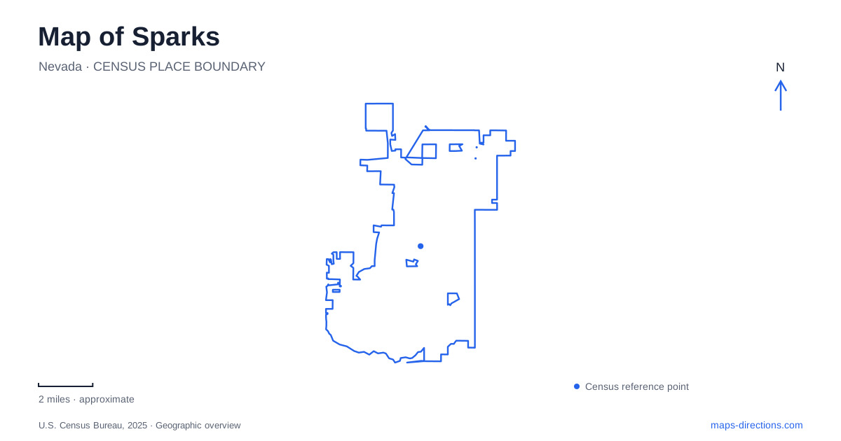
Street tiles load from OpenStreetMap when opened. The blue line shows the 2025 Census boundary.
- State
- Nevada
- Population · July 2025
- 111,902
- Land area
- 36.5 sq mi
- Water area
- 0.1 sq mi
A map of Sparks brings together a railroad town, a lake formed in a former gravel pit, and recreation grounds reaching toward the Pah Rah foothills. Victorian Avenue provides a historical reference in the older urban area, while the marina and Golden Eagle Regional Park show very different kinds of outdoor space. These destinations make more sense when their origins and road approaches are read together, rather than as an interchangeable collection of parks and attractions east of Reno.
Victorian Avenue and the community's railroad memory
The heritage museum occupies 814 Victorian Avenue, at the corner of Pyramid Way. Its building has served the community since 1932 and is listed in the National Register of Historic Places. The corner offers a precise starting point for understanding the older center, with the museum's collections supplying the historical context behind the surrounding urban landscape.
Inside, exhibits use photographs, artifacts, and printed material to explain railroad development, everyday life, and communications in the early twentieth century. The institution also interprets the region's connections to the Second World War and the moon landing. This range of subjects places local rail history within a wider story of industry and technological change.
The museum maintains an outdoor train exhibit and the one-room Glendale Schoolhouse across the street. A historical visit therefore involves more than the rooms inside the main building. The rail equipment and schoolhouse bring two different parts of community life into the same small area. For Sparks, the contrast is revealing: transport infrastructure helped create the town, while schools and civic institutions helped sustain the community that followed.
A marina created from a working excavation
The marina's history begins with land use rather than a naturally formed lake. The Nevada Department of Wildlife identifies the site as a gravel pit operated by Helms Construction Company from 1968 to 1995. The 1997 flood then filled the excavation rapidly with water from the swollen Truckee River. The city later developed the property for public recreation, holding its formal park opening in October 2000.
This origin explains why a substantial body of water sits within the developed urban landscape. It is an example of an industrial site acquiring a new public role, rather than a town simply growing around a pre-existing recreational lake. Looking at Sparks through this history reveals how an unexpected flood reshaped one of its most recognizable places.
The park's address is 300 Howard Drive. The state wildlife agency describes parking along the western side near the beaches and at the southwest corner, with a small concrete boat ramp by the south beach on the lake's west side. These details give the shoreline a practical orientation. A lakeside walk, a fishing visit, and a boat launch use the same overall park but focus on different parts of its perimeter.
Vista Boulevard toward the Pah Rah foothills
Golden Eagle Regional Park occupies 6400 Vista Boulevard. Washoe County's trail guide describes the approach from Interstate 80 at Vista Boulevard, continuing north to the park. The sports complex contains numerous fields, while trails provide a connection to the surrounding foothill landscape. The contrast between closely maintained athletic surfaces and sagebrush terrain is an important part of the site's character.
The Pah Rah Interpretive Trail lies on the southeast side of the park, off Hans Berry Road. County directions use Homerun Drive to reach that road. The half-mile paved loop sits at the base of the Pah Rah range beside Spanish Springs Canyon, with interpretive features and an outdoor classroom pavilion.
For a map of Sparks, this is a useful northern outdoor reference because the destination combines organized sport with a short landscape interpretation route. A tournament visitor may be looking for a numbered field, while a walker may be heading to the southeast trailhead. The shared park name does not eliminate the need to understand those different areas within the grounds.
Restored wetlands in the wider Truckee Meadows
Rosewood Nature Study Area adds a nearby regional landscape to an outing centered on the city. Its trail access and visitor center are at 6800 Pembroke Drive. Managed by the Truckee Meadows Parks Foundation, the 219-acre marshland supports restoration and environmental study. The property formerly served as a golf course before its conversion into a publicly accessible wetland setting, which opened in 2021.
The marina and Rosewood consequently tell related but different stories of landscape change. One transformed an excavation into a recreation lake; the other is restoring wetland habitat on former recreational grounds. Together with the railway exhibits on Victorian Avenue and the foothill trail at Golden Eagle, these places show how the region's land uses have changed over time. Sparks is easier to understand when the map preserves those distinctions between railway heritage, engineered water space, sports facilities, and restored habitat.
Map and statistics: U.S. Census Bureau, 2025 Gazetteer, January 2025 generalized place boundaries and Vintage 2025 population estimates. Local references: Sparks Heritage Museum; Nevada Department of Wildlife; Nevada Division of Tourism; Washoe County; Truckee Meadows Parks Foundation. Article prepared by Maps & Directions.