Map of Spanish Fork
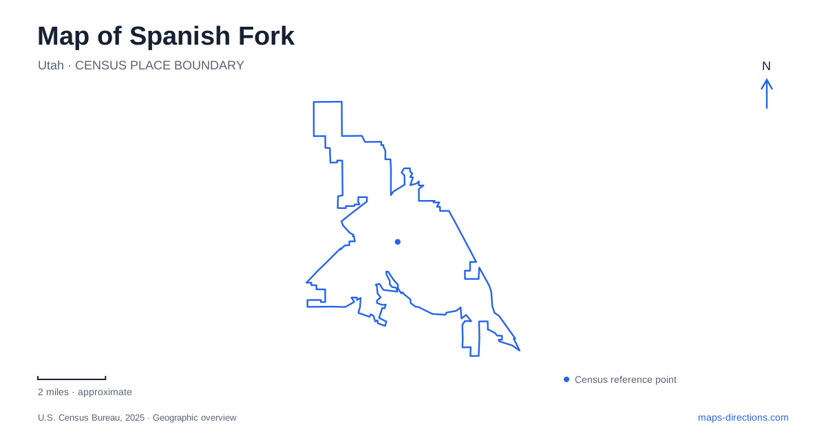
Street tiles load from OpenStreetMap when opened. The blue line shows the 2025 Census boundary.
- State
- Utah
- Population · July 2025
- 48,837
- Land area
- 17.8 sq mi
- Water area
- 0.0 sq mi
Spanish Fork brings together a numbered urban street grid, a river emerging from a canyon, and recreation sites on the adjoining slopes. Main Street provides a civic reference point, while Canyon Road and Powerhouse Road lead toward very different outdoor destinations. The local map also contains a distinctive cultural landmark: an Icelandic memorial whose lighthouse form connects an inland Utah community with a maritime homeland.
Main Street and Library Hall
Library Hall at 80 South Main Street opened in April 2023. The present library offers meeting spaces, a maker lab, collections, and community activities, making it a useful contemporary anchor for the center. Its name reflects a building that supports several kinds of public use rather than merely a shelf collection.
The street address matters because older references can describe earlier library arrangements. When identifying a civic appointment or public event, the current building name and address provide a clearer reference than a general instruction to meet downtown. The numbered grid helps distinguish north, south, east, and west addresses, but the street suffix and directional component still belong in the destination.
For Spanish Fork, this Main Street setting supplies one part of the community’s public geography. Cultural memory is also expressed at smaller sites beyond the civic center, including the memorial on Canyon Road.
An Icelandic connection on the east side
The Icelandic Monument stands at 800 East Canyon Road. Its lighthouse is a commemorative form, not a working navigation aid or a marker of a former shoreline. The municipal park listing identifies a small memorial destination with curbside parking rather than a large recreation park with picnic and play facilities.
The memorial honors migration from Iceland to Utah. The Ensign Peak Foundation describes a 2005 expansion that added a wall of names, interpretive plaques, seating, and a large rock brought from the Westmann Islands. The commemoration addresses the 410 Icelanders who immigrated to Utah between 1855 and 1914, many of whom settled in the local community.
This gives the monument a different scale from the broader city parks. It is a place to read and reflect on migration and continuing connections between communities. Its position on the east side can be combined geographically with other Canyon Road destinations, but its cultural purpose remains distinct.
Canyon View and its seasonal landscape
Canyon View Park lies at 3300 East Powerhouse Road near the canyon mouth. Lawns, shade, pavilions, and a connection to the river trail form its ordinary recreation setting. The river is an organizing feature here: it provides a corridor through a landscape that differs from the rectangular blocks around Main Street.
The park also hosts the Festival of Lights, which changes its use during the colder months. The city closes it to regular park activity from October through February for event preparation and operation. A summertime park description therefore does not describe year-round access.
The pond is a managed recreation facility with fish habitat, shoreline infrastructure and accessible fishing areas. Those features have their own maintenance and operating arrangements, separate from the river corridor and seasonal light event. For a Spanish Fork visit, identify the intended activity and consult the city's facility guidance before relying on a pond symbol as evidence of fishing access. A project drawing explains proposed improvements; it does not establish the condition of the water or shoreline on arrival.
Water storage above the valley
Spanish Oaks Reservoir combines a recreation setting with a working role in the pressurized irrigation system. Municipal utility planning describes water received at the golf-course pond and pumped uphill to the reservoir, where its elevation supports gravity distribution. The water feature therefore belongs to infrastructure as well as to the outdoor recreation map.
The campground is listed at 2939 South Spanish Oaks Drive, above the reservoir. It is intended for tent camping, with nearby trails and a playground. Canyon View RV Park is a separate facility on Powerhouse Road with vehicle sites and utility hookups. The two names should remain separate when comparing overnight accommodation: proximity to the same canyon landscape does not make their facilities equivalent.
A different kind of play space
Adventure Heights at 1321 East Canyon Road opened in 2020 as an all-abilities park. Its playground and water features, including a splash area, waterfall, and constructed river, serve a different purpose from the natural river corridor. The distinction is especially useful for families choosing between an accessible play setting and an outing beside the actual watercourse.
Spanish Fork can consequently be read through several linked but distinct places: the current civic library, an immigration memorial, the seasonally changing canyon park, working water storage, and a purpose-designed playground. These local relationships make a map of Spanish Fork useful beyond street directions, revealing how public life, migration history, topography, and water management meet in the same community.
Map and statistics: U.S. Census Bureau, 2025 Gazetteer, January 2025 generalized place boundaries and Vintage 2025 population estimates. Local references: Spanish Fork City; Ensign Peak Foundation. Article prepared by Maps & Directions.