Map of Southfield
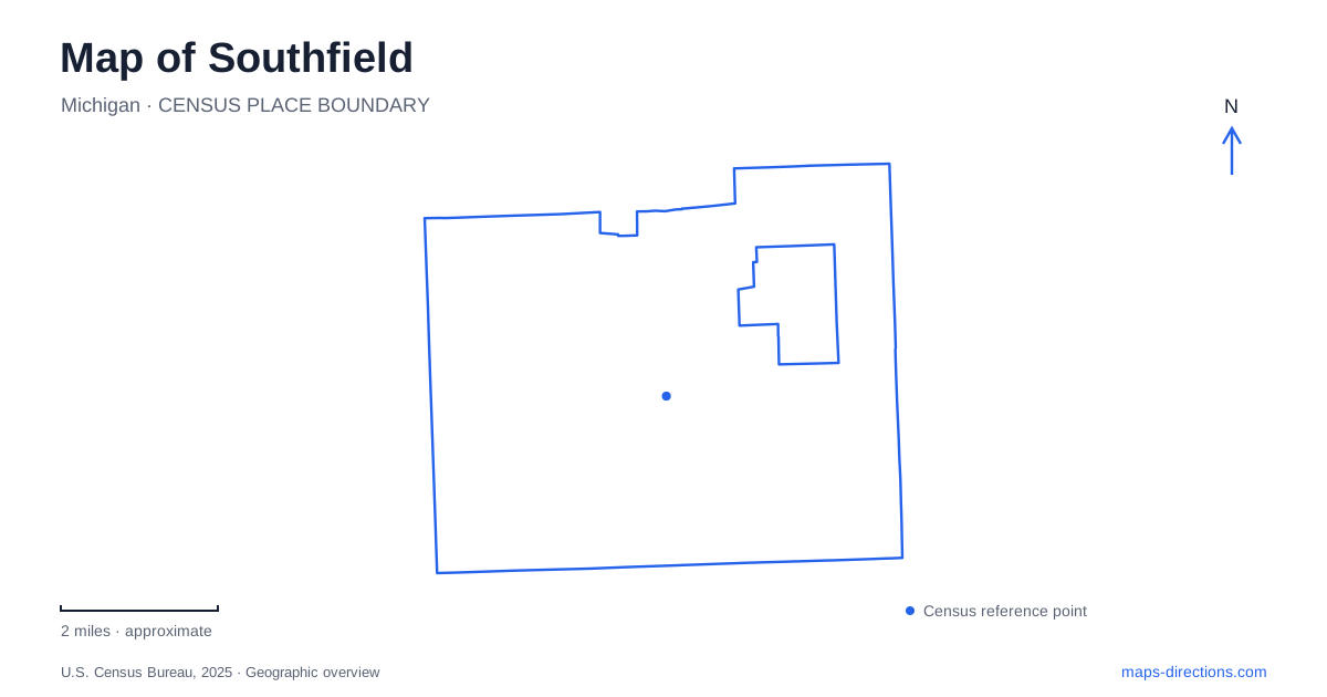
Street tiles load from OpenStreetMap when opened. The blue line shows the 2025 Census boundary.
- State
- Michigan
- Population · July 2025
- 76,111
- Land area
- 26.3 sq mi
- Water area
- 0.0 sq mi
Southfield is often first encountered through large roads and office districts, yet its map contains an older settlement landscape, a substantial civic campus, and wooded river corridors. Evergreen Road and Civic Center Drive help organize the public buildings, while the Rouge River watershed explains many of the less conspicuous green areas. Looking at both systems reveals a city whose public spaces are distributed across several distinct settings rather than gathered around one traditional downtown square.
From the Burgh to the civic campus
The Burgh occupies the northeast corner of Civic Center Drive and Berg Road. The municipal history records construction of a town hall there in 1873, after earlier township meetings had moved among houses, a tavern, a hotel ballroom, and a wagon shop. The historical park retains renovated older buildings within landscaped grounds and flower gardens. Its importance comes from that earlier center of community life, before the present civic complex existed.
The later Southfield civic campus has a different origin. Mary Thompson sold the city 166 acres and donated additional property in 1960, making the complex possible. It opened in 1964 with a library, parks and recreation building, police headquarters, and city hall. The arena followed in 1970 and Evergreen Hills Golf Course in 1972. These dates explain the campus as a deliberate grouping of government, recreation, and cultural facilities developed over time.
The Mary Thompson House and Farm remains a separate historical property on Evergreen Road just south of the municipal complex, with community gardens among its listed uses. It gives the civic district a tangible connection to the land that preceded its public buildings. On a detailed map, the farm and the modern campus belong to the same local story while occupying their own sites.
Art connecting buildings and paths
The public library at 26300 Evergreen Road provides a useful cultural reference point. Several sculptures associated with the former Northland Center found new settings around the library and the wider trail system. The city's art map identifies Marshall Fredericks' Boy and Bear inside the library entrance, Peacock by Arthur Kraft and Gwen Lux outside, and Joseph Anthony McDonnell's Moby-Dick in the library fountain. Their relocation brings pieces of commercial history into a civic environment.
Elsewhere along the Southfield City Centre trail system, Red Pole Park uses a much more abstract form. The installation contains sixty-five tall red poles, with lower elements extending the pattern across the path. Repurposed utility poles donated by DTE formed the basis of the project. The designers treated the grouping as an abstract grove, and blue lights on the taller poles introduce a nighttime reference to navigation and safe passage. Its location beside the Lodge Freeway makes it an unusual landmark for a walking route: visible from fast-moving traffic, but designed to be experienced at pedestrian speed.
Water and woodland behind the road network
Much of Southfield lies within the Rouge River watershed. Valley Woods Nature Preserve follows the river corridor, with access identified by the city along Civic Center Drive east of Telegraph Road. The river's floodplain creates a long natural feature within the developed street network. That makes the preserve fundamentally different from a rectangular neighborhood playing field: its form responds to water and terrain rather than a block-sized recreation plan.
Berberian Woods has another specific approach, with its trail beginning at the end of Streamwood Lane, south of Twelve Mile Road between Bell Road and Telegraph. Bauervic Woods, meanwhile, is near Nine Mile west of Evergreen. These small geographical distinctions matter because the wooded areas do not form one interchangeable park. Their access streets and surrounding neighborhoods are part of their individual identities, even when they share a similar green appearance at a broad map scale.
Carpenter Lake's restored public landscape
Carpenter Lake Nature Preserve lies on Ten Mile Road east of Inkster. The city acquired the property in 2003 and opened it to the public in 2008. Interpretive trails, fishing and viewing platforms, and places to sit give visitors several ways to engage with the lake and surrounding habitat. The parking area's porous pavement and bioswale are also part of the environmental design, managing runoff before it reaches the natural landscape.
This lake setting completes a different picture of Southfield from the one suggested by its freeway interchanges alone. The Burgh preserves an early meeting place; the Evergreen civic campus gathers public institutions; the City Centre paths introduce art into a road-dominated district; and the preserves follow water and woodland. A local map becomes more useful when those histories and physical relationships remain visible alongside the major routes.
Map and statistics: U.S. Census Bureau, 2025 Gazetteer, January 2025 generalized place boundaries and Vintage 2025 population estimates. Local references: City of Southfield; Southfield Public Library; Southfield City Centre. Article prepared by Maps & Directions.