Map of Southaven
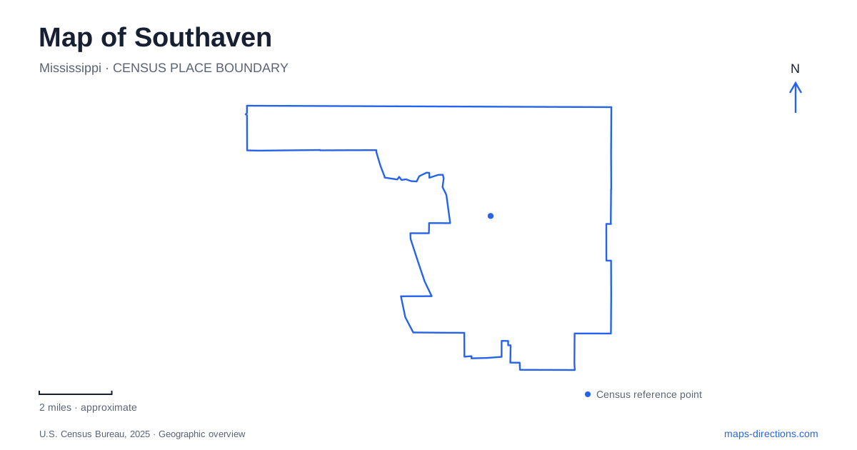
Street tiles load from OpenStreetMap when opened. The blue line shows the 2025 Census boundary.
- State
- Mississippi
- Population · July 2025
- 57,819
- Land area
- 41.3 sq mi
- Water area
- 0.2 sq mi
Southaven is easier to understand as several connected centers than as a city arranged around one traditional square. Highway 51 and Stateline Road mark the community's early business and residential beginnings. Tchulahoma Road provides an address for Central Park, while Getwell Road and May Boulevard identify a newer concentration of recreation and entertainment. The repeated appearance of sports complexes on the map is significant: baseball, softball, concerts and everyday outdoor recreation each draw people toward different facilities.
The original community at the state line
The city's account of its development places its beginnings in the early 1960s along Highway 51 and Stateline Road. Small businesses and the first residential subdivisions established the pattern before incorporation in 1980. The name came from the community's position south of Whitehaven, Tennessee. That relationship explains why a map of Southaven belongs in a wider Memphis-area context even while the city is in Mississippi.
Highway 51 and Stateline Road are therefore more than convenient navigation references. They identify the older commercial landscape that supported the first neighborhoods. When an address uses the Main Street area, it points toward this historical geography rather than the newer park and entertainment development around Getwell. The distinction is useful when choosing where to stay or deciding whether two appointments belong to the same part of town.
The northern recreation landscape includes a nine-hole public golf course at Stateline Road and Swinnea Road. This intersection provides another recognizable marker near the state boundary. Golf here is a separate activity from the disc golf available in Central Park, despite both appearing under similar recreation searches.
Central Park and the Tchulahoma corridor
Central Park gives Southaven an outdoor destination centered on a lake and open space. Its listed address is 7651 Tchulahoma Road. Walking trails, exercise equipment, picnic areas and a playground support a visit that does not depend on a tournament or ticketed event. The city also identifies an eighteen-hole disc golf course here, placing active recreation within a broader natural park setting.
The lake is particularly useful as an organizing feature. A meeting arranged around the water or a picnic area has a different focus from a disc golf round, even though both begin with the same park name. Looking at the park's internal layout helps a group choose a shared part of the grounds before arriving with equipment, children or food.
Tchulahoma also forms part of the city's pedestrian network. Municipal accounts describe a multi-use trail extending from Central Park along this road, with the wider network intended to bring park areas and commercial destinations into closer walking and cycling relationships. That is a different scale of recreation from simply making a circuit inside the park: the road corridor becomes part of the outing.
Snowden Grove and the crossing over Getwell
Snowden Grove is a major recreation anchor in Southaven. Its baseball complex has seventeen fields, while nearby facilities include the BankPlus Amphitheater and the historic Snowden House. A baseball visit, a concert and a gathering at the house can consequently share a broad location name without sharing the same destination within the area.
The city also identifies a Field of Dreams mini-baseball facility for participants with disabilities. That purpose matters when reading the larger sports landscape: the park system contains spaces designed for different users, rather than one interchangeable collection of playing fields. Pine Tar Alley appears in the parks department's own address, adding another useful local reference for sports-related business.
At May Boulevard, a pedestrian bridge crosses Getwell Road. The city announced its completion in April 2022. Its purpose is quite specific: linking activity associated with Silo Square on one side and Snowden Grove events on the other while separating pedestrians from the road traffic below. The bridge makes the relationship between these destinations visible in the landscape. It is also a helpful marker when viewing the district from a broader map scale, where individual storefronts and paths may disappear.
Distinguishing softball from baseball
Greenbrook Softball Complex is another substantial Southaven sports destination, with eight softball fields at 740 Stowewood Drive. It should be identified by that facility name when arranging a tournament trip. Snowden Grove's baseball fields and Greenbrook's softball fields belong to the same municipal recreation system, but the sport and street address determine which complex a team needs.
The city additionally lists a football complex at Cherry Valley Park and separate soccer and tennis facilities. This spread explains why a sports weekend can involve several parts of the community. Organizing an itinerary around the actual complex first, then choosing nearby meals or accommodation, is more useful than assuming that every athletic event happens beside the amphitheater. The older Highway 51 corridor, the lake at Central Park and the Getwell entertainment area each contribute a different part of the city's everyday geography.
Map and statistics: U.S. Census Bureau, 2025 Gazetteer, January 2025 generalized place boundaries and Vintage 2025 population estimates. Local references: City of Southaven. Article prepared by Maps & Directions.