Map of South San Francisco
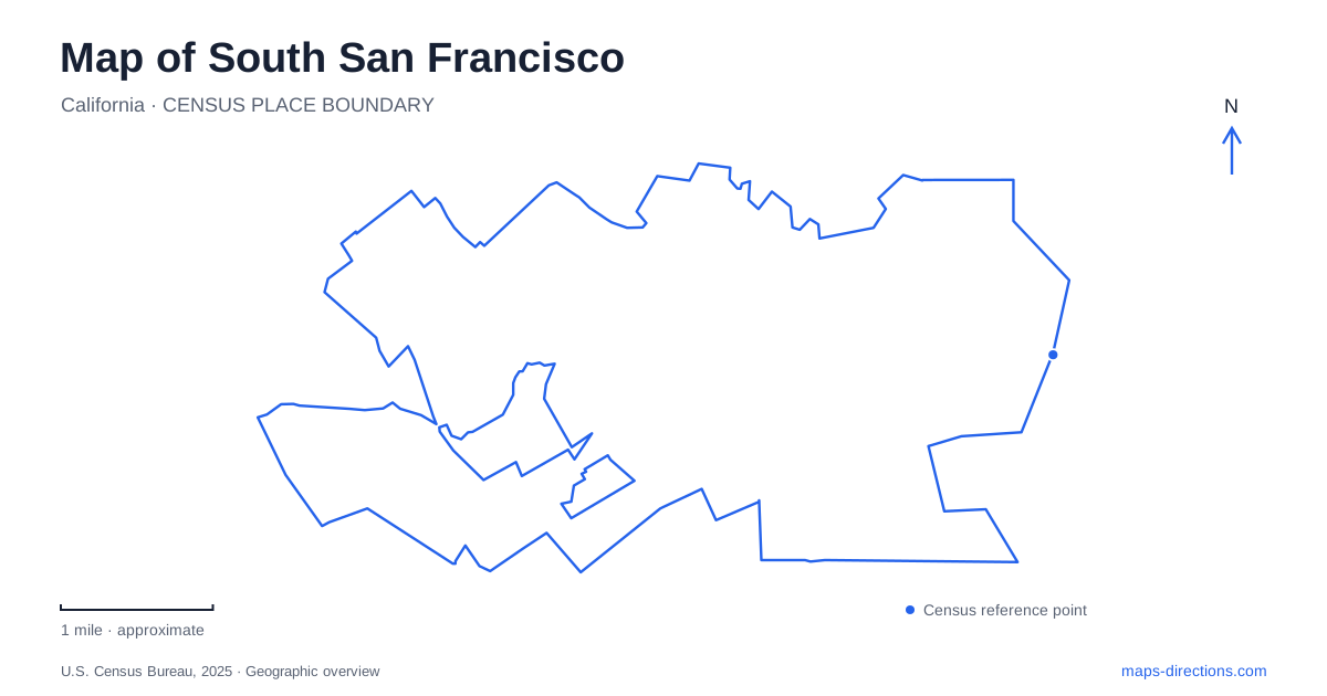
Street tiles load from OpenStreetMap when opened. The blue line shows the 2025 Census boundary.
- State
- California
- Population · July 2025
- 64,941
- Land area
- 9.2 sq mi
- Water area
- 21.0 sq mi
South San Francisco has a civic identity that is literally written into its landscape. The hillside sign records an industrial ambition, while a relocated house preserves a medical and domestic history on Grand Avenue. Along the bay, a former landfill has become a recreation and employment setting with a marina and ferry terminal. Rail improvements add another layer of connections between the older center and areas beyond the tracks.
Sign Hill advertised an industrial future
The first hillside lettering appeared in 1923. It used a mixture of lime, cement and water to create a conspicuous whitewashed message on the slope. The city and business community intended the sign to attract industry and residents, making it an advertisement at the scale of the landscape.
A more permanent concrete version followed in 1929. That change explains why the sign's origin and the date of its surviving material are different. The lettering seen today belongs to a longer sequence of construction and maintenance rather than a single unchanged installation.
For South San Francisco, Sign Hill is both a landmark and a record of economic intent. Its industrial wording describes how civic leaders wanted the community to be understood. The hillside itself also has ecological value: current restoration work aims to recover grassland habitat that supports the endangered Mission blue butterfly. The monument and the habitat occupy the same terrain, but they require different kinds of stewardship.
A house moved so a hospital could replace it
The Plymire-Schwarz House was built in 1905 by Dr. Harry Garritson Plymire. It later moved in 1917 so a new general hospital could occupy its earlier location. The preserved house now stands at 519 Grand Avenue, where the historical society interprets it as a museum.
This relocation is essential to reading the building on a map. Its current address identifies the surviving structure, while its earlier site belongs to a separate chapter in local medical history. A historic building can retain significance after moving, but the move changes its relationship with surrounding streets and properties.
The restoration also included furnishing the rooms with period-appropriate antiques. That is an interpretive choice, intended to convey the character of an earlier household. It should not be assumed that every displayed object remained in the house throughout its history. The building's story includes construction, movement and later preservation work.
Oyster Point is a reconstructed shoreline
Oyster Point Shoreline Park occupies ground above a capped landfill. City project material describes continued improvements to the peninsula, with the city owning the property and the county harbor district operating the marina and park area. The present waterfront therefore reflects both environmental management and recreational development.
This is a useful contrast with Sign Hill. The hill's natural terrain carries a constructed monument, while the shoreline park stands on land substantially altered by filling and later rehabilitation. Both places combine natural setting with human intervention, but in different ways.
A map of South San Francisco should distinguish the marina, park paths, ferry terminal and nearby business properties. They share the Oyster Point setting without being interchangeable destinations. The Bay Trail relates to the public shoreline, while individual buildings and transport facilities have their own access points and functions.
Ferry service connects the waterfront with the East Bay
The ferry route at Oyster Point provides weekday peak-period service linking the local terminal with Oakland's Jack London Square and Main Street Alameda. It is a commute-oriented service rather than an all-day sightseeing loop around the bay.
A connecting shuttle serves businesses along Oyster Point Boulevard, Gateway Boulevard and nearby employment streets. This explains why the terminal sits within a broader network of workplace connections. The water crossing is one part of the journey, while the shuttle and local paths complete different portions on land.
South San Francisco's ferry terminal should therefore be read as its own transport destination. It is not the same place as the downtown rail station, even though both carry the city's name and serve regional travel. The surrounding geography and the routes they connect are different.
Rail improvements strengthened east-west connections
The Caltrain station improvement project added a center boarding platform, a pedestrian underpass and a western plaza connecting toward downtown. The completed project was celebrated in April 2022. Its design addressed the barrier created by the railway while improving access to the station itself.
The underpass has a role beyond reaching a train: it also improves movement between the east and west sides of the corridor. That makes it a meaningful feature on a pedestrian map, where a straight line across railway tracks would otherwise imply a connection that does not exist at every point.
Together, these places show South San Francisco through several kinds of change. The sign became permanent, the historic house changed sites, the landfill became a managed waterfront, and the station gained a new crossing. Each change altered how people understand or move through the city, leaving evidence that remains legible in its hills, streets and shoreline.
Map and statistics: U.S. Census Bureau, 2025 Gazetteer, January 2025 generalized place boundaries and Vintage 2025 population estimates. Local references: City of South San Francisco; Historical Society of South San Francisco; San Francisco Bay Ferry; Commute.org; Caltrain. Article prepared by Maps & Directions.